About
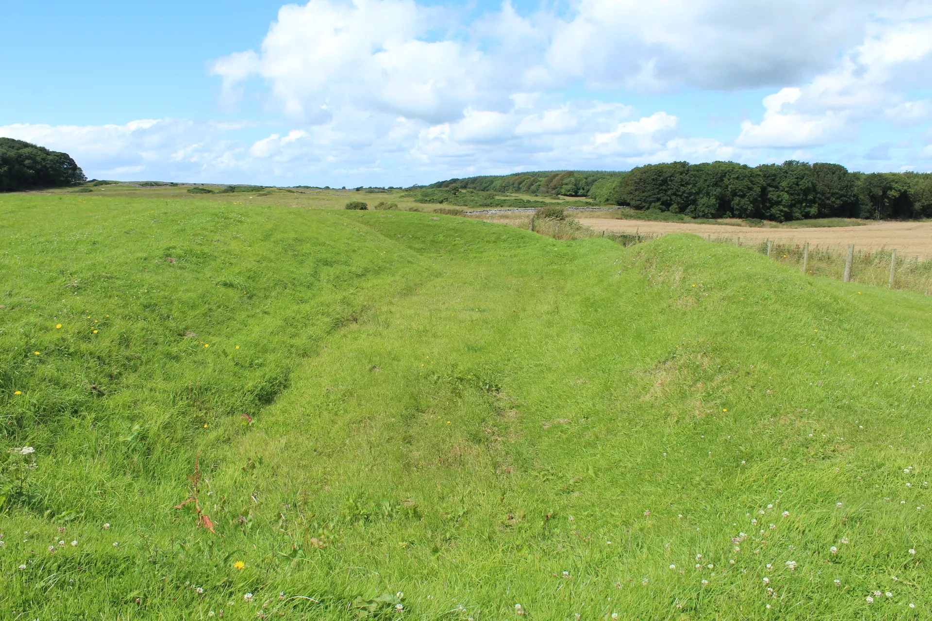
Barsalloch Fort clings to an old sea cliff about a mile west of Monreith, some 25 metres above the raised beach where the A747 now runs, with views around Luce Bay to the Mull of Galloway, the Isle of Man and Northern Ireland. Built about 2,000 years ago, it was probably the farmstead of a family of the Novantae, the tribe known to the Romans, perhaps the home of a minor chief, holding one or more large roundhouses. The landward sides are defended by a ditch ten metres wide and three and a half deep, with an earthen rampart on either side, enclosing a D-shaped interior entered from the north-east. It has never been excavated; the ditch and banks are the thing to see. In 1888 it became one of the first monuments in Scotland protected by law. A lay-by on the A747 takes a few cars, and a short, steep climb on deep wooden-edged steps with a handrail leads up; go on a clear day.
Check today’s timesSee all times
- Barsalloch FortOpen at all times; an unstaffed open site, no hours published
Opening times may change at short notice.
Historic Scotland: 'Barsalloch Fort is free to visit and open all year round.' No hours, closures or notices on 20 October 2026; not on Historic Scotland's closures page.
A short, steep climb of about 20 m up wooden-edged steps with a handrail leads from the road to the cliff-top fort, then a short flight into the interior; strong footwear is recommended. An information board on site; no toilets or other facilities.
Photo: The grassy interior of Barsalloch Fort on its clifftop, looking across the bay and Luce Bay to the open sea. Andrew Wood, CC BY-SA 2.0. Source: https://commons.wikimedia.org/wiki/File:Fort_at_Barsalloch_-_geograph.org.uk_-_5558793.jpg. Licence: https://creativecommons.org/licenses/by-sa/2.0. Resized and cropped for display; derivatives retain the source licence.
Reviews & Tips
No reviews yet
No reviews yet. Be the first to share your experience!