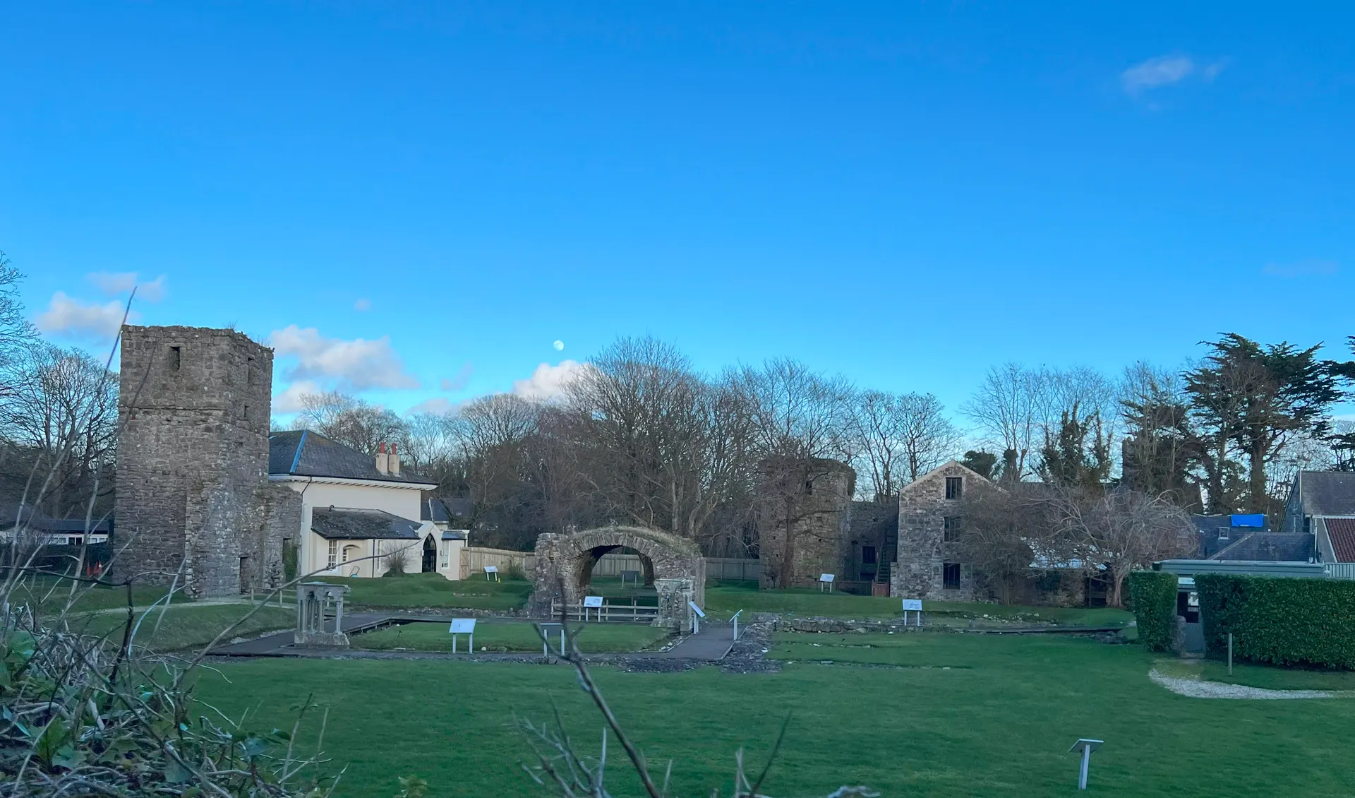
About
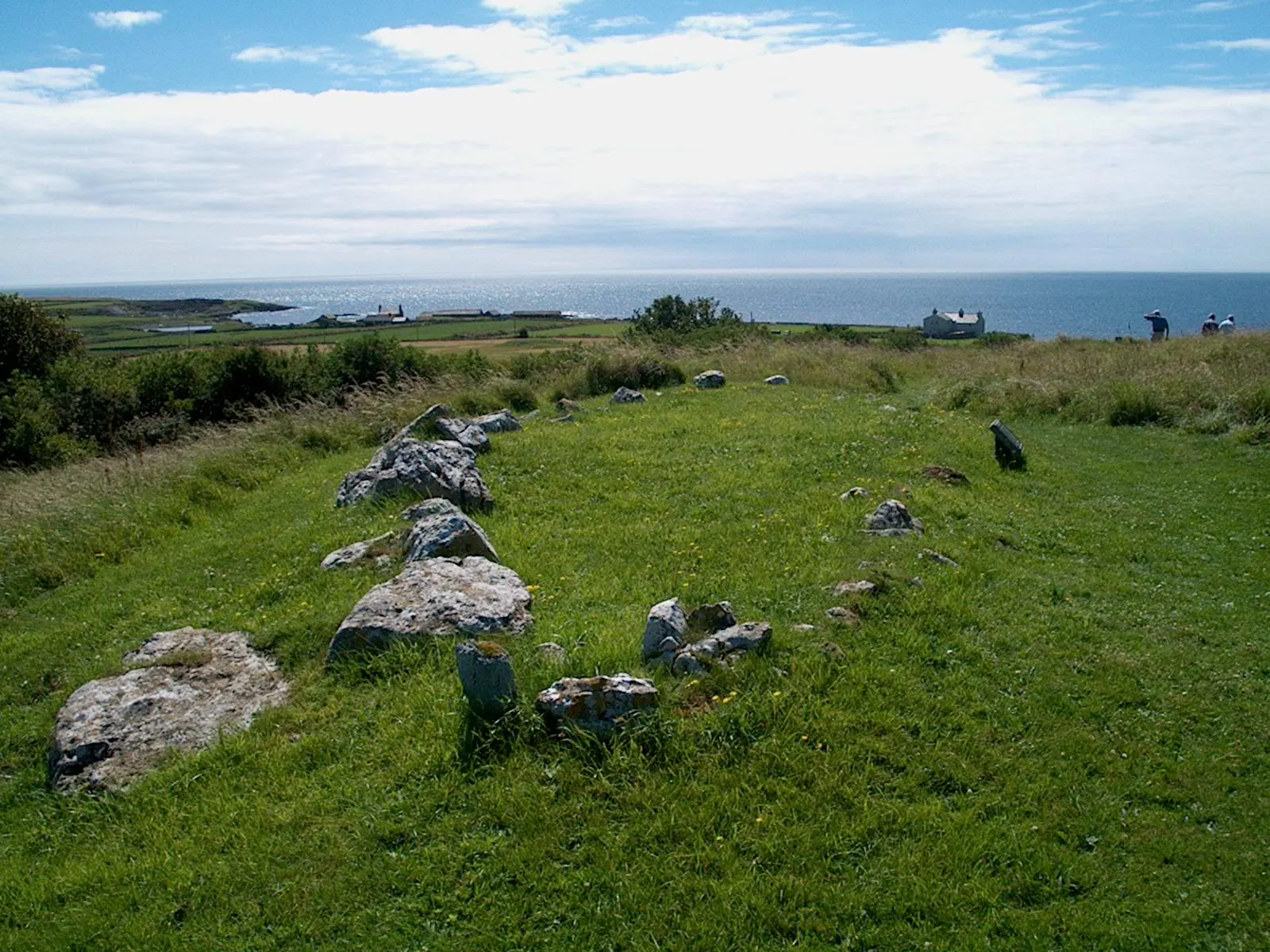
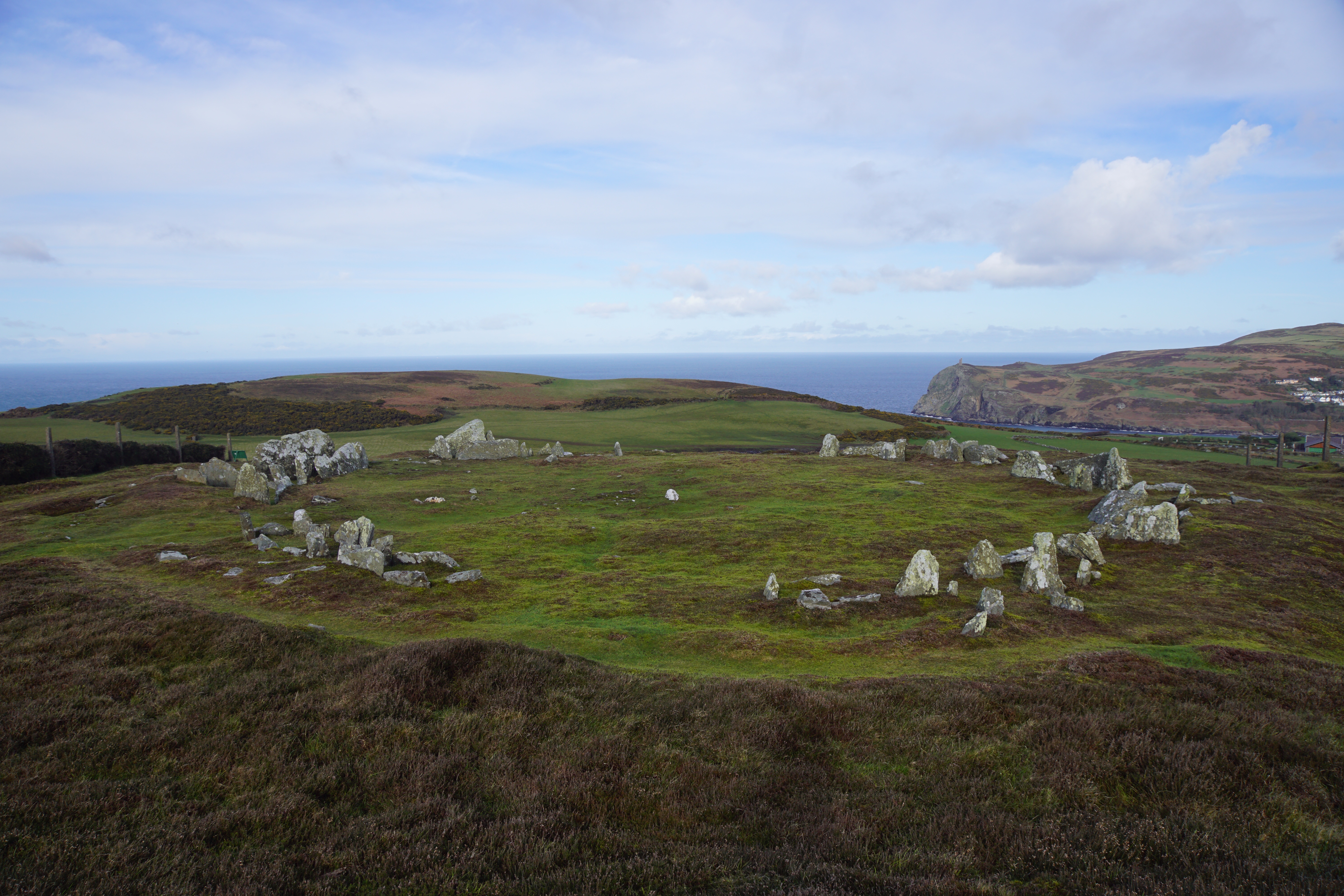
The Meayll Circle, on a shelf of Meayll Hill above Cregneash in the south-west of the Isle of Man, is a Neolithic burial monument built more than 5,000 years ago with few parallels in the British Isles. Six short stone passages were set around a circle about 18 metres across, each splitting into a pair of burial chambers, so twelve cists ring the site; the covering cairn, perhaps built with white quartz, was robbed long ago and the chambers stand open in the grass. Investigations in the early 1900s found Neolithic pottery, worked flints and cremated bone, now displayed at the Manx Museum. The hill is also known as Mull Hill and the circle is cared for by Manx National Heritage. Reviewers praise the views and the Second World War radar station remains near the summit, but warn that the short path from the roadside is steep, brambly and slippery when wet. Railway Walk 8 between Port St Mary and Port Erin stations crosses the hill past the circle.
Check today’s timesSee all times
- Meayll HillSee opening notes
Opening times may change at short notice.
Open access all year round; no admission fee is published. The land is mostly not owned by Manx National Heritage and visits are at your own risk.
There is no vehicular access and the circle cannot be seen from the road; every route includes a steep uphill walk and a stile. Route A from the lay-by 0.5 km along the Ballnahowe Road is a very steep, uneven public footpath, difficult in wet conditions, with no handrails and a descent more like a scramble. Route B from the lay-by at the Cregneash end of the road is a less steep green lane of 15 to 20 minutes to the summit, past the remains of a Second World War Chain Home Low radar station, then a moderate, uneven descent to the circle. Neither route suits wheelchairs or pushchairs.
No toilets or visitor facilities at the site. Observe the Isle of Man Country Code: wear stout footwear, expect changes in weather, tell someone where you are going and do not rely on mobile reception.
Photo: the ring of paired stone burial chambers of the Meayll Circle on Meayll Hill, with the sea and a headland beyond. Otter, CC BY-SA 4.0. Source: https://commons.wikimedia.org/wiki/File:Isle_of_Man_-_Meayll_Hill_20240222_overview_from_south_east.jpg. Licence: https://creativecommons.org/licenses/by-sa/4.0. Resized and cropped for display; derivatives retain the source licence.
Reviews & Tips
No reviews yet
No reviews yet. Be the first to share your experience!
Walking routes1 route
Railway Walk 8: Port St Mary Station, the Chasms and Cregneash to Port Erin Station(opens the full route on the National Trust site)
WalkmoderateDog access not confirmed