About
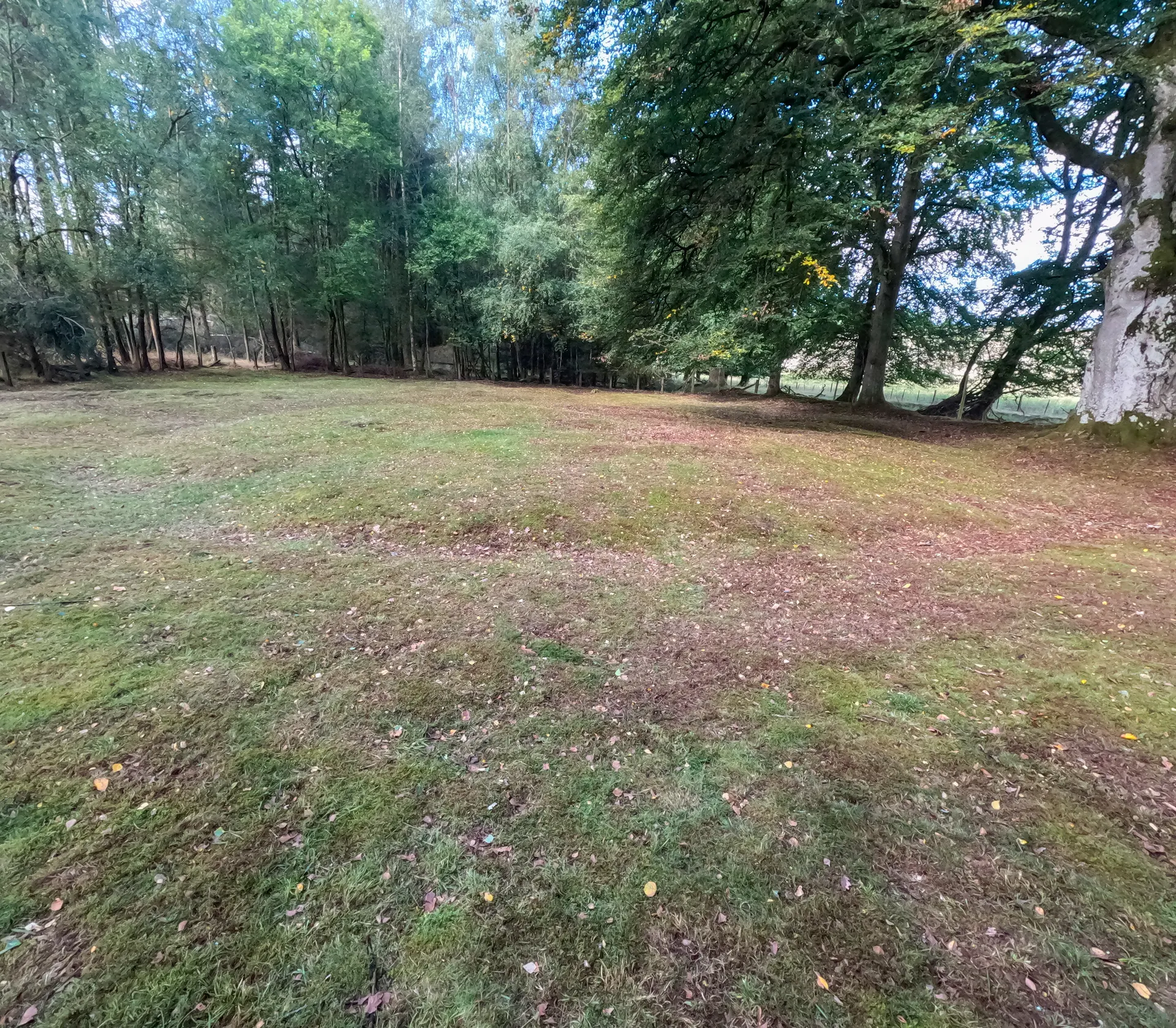
In a heathery clearing among birch and pine woods near Trinity Gask, Muir o'Fauld is one of the better preserved watchtower sites of the Gask Ridge, the earliest known Roman frontier of roads, forts and towers, which ran 37 km from Glenbank to Bertha on the Tay. The ridge marks the line of the first Roman invasion of Scotland under the governor Gnaeus Julius Agricola in AD 79 and 80, and its sites were abandoned around AD 87 when the army withdrew. Here a square timber tower stood inside an earth rampart, ditch and outer bank. Today you can trace a circular mound almost 16 m across, its ditch and outer bank, and a causeway leading 15 m north to the Roman road, which survives as a track beside it. David Christison partly excavated the site in 1900. It is reached on foot along an unsignposted woodland path about 400 m from the minor road, through working farmland, so wear strong footwear.
Check today’s timesSee all times
- Muir o'Fauld Roman Signal StationOpen all year; an unstaffed open site reached on foot, no hours published
Opening times may change at short notice.
Historic Scotland: 'Muir o'Fauld Roman Signal Station is free to visit and open year-round.' No hours are published.
The woodland footpath is not signposted. 'The site is accessed through working farmland. To keep you and the livestock safe, please follow the Scottish Outdoor Access Code. Strong footwear recommended.' The remains are a low circular mound inside a ditch and outer bank in a heathery clearing beside the Roman road. No facilities.
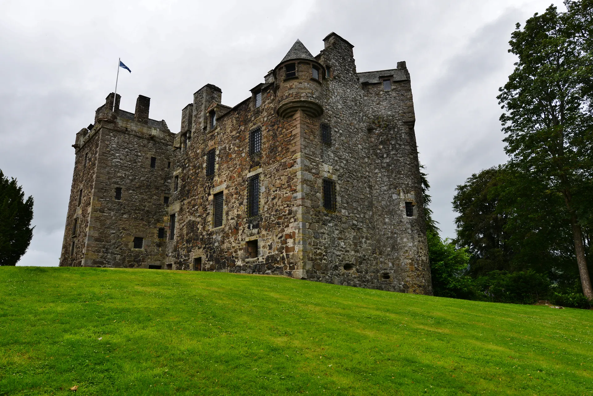
Photo: The low, heather-covered mound and ditch of the Muir o'Fauld Roman watchtower in a clearing, with bare birch trees and a fence behind under a blue sky. Chris Andrews, CC BY-SA 2.0. Source: https://commons.wikimedia.org/wiki/File:The_Site_of_Muir_O%27_Fauld_Roman_Signal_Station_-_geograph.org.uk_-_6143094.jpg. Licence: https://creativecommons.org/licenses/by-sa/2.0. Resized and cropped for display; derivatives retain the source licence.
Reviews & Tips
No reviews yet
No reviews yet. Be the first to share your experience!