HomeExplorePlacesPassportSign in
Manx National Heritage

St Michael's Isle

Historic Site·Isle of Man·Manx National Heritage·4.6

Free
Non-member
Free
EH members
4.6
33
Hours
See times
Website
Directions
PricingFreeFree for all visitors
Free entry for everyone
Entry
Free for everyone
Pricing details

Open access all year round with no admission fee; donations to Manx National Heritage welcome. English Heritage membership is not needed here.

ParkingParking not known

The Trust's page does not say how parking is charged.

Parking details

Manx National Heritage's directions end 'once across the bridge you will be in the car park', and its access guide pictures the block-paved car park at the island's edge. No charge, restriction or free statement is published by MNH or any Isle of Man Government source, so the status is recorded as unknown; reviewers describe plenty of free parking. Larger vehicles can stop at the Golf Links car park on Fort Island Road before the causeway, which MNH's directions pass.

Driving pin: the island car park. From the A5 past the airport and King William's College, turn left at the roundabout on to Shore Road, after 180 m left on to The Promenade for 1.3 km, then right on to Fort Island Road at a narrow corner that is hard to see round; pass the Golf Links car park and continue over the causeway bridge, which is narrow, has no walls in places and carries a speed limit. The road is single track with passing places.

By bus: MNH says the island is not on a main route and needs a considerable walk. Routes 1, 1A, 2, 2A, 11, 12 and 12A stop on the A5 at Janet's Corner (about 35 to 40 minutes from Douglas, 25 from Port Erin), then it is about 2.7 km on foot via The Promenade and Fort Island Road to the causeway. The Isle of Man Steam Railway's Castletown station is the start of Visit Isle of Man's Railway Ramble to the island.

Historic SiteWalking routesCar parkGreat views

About

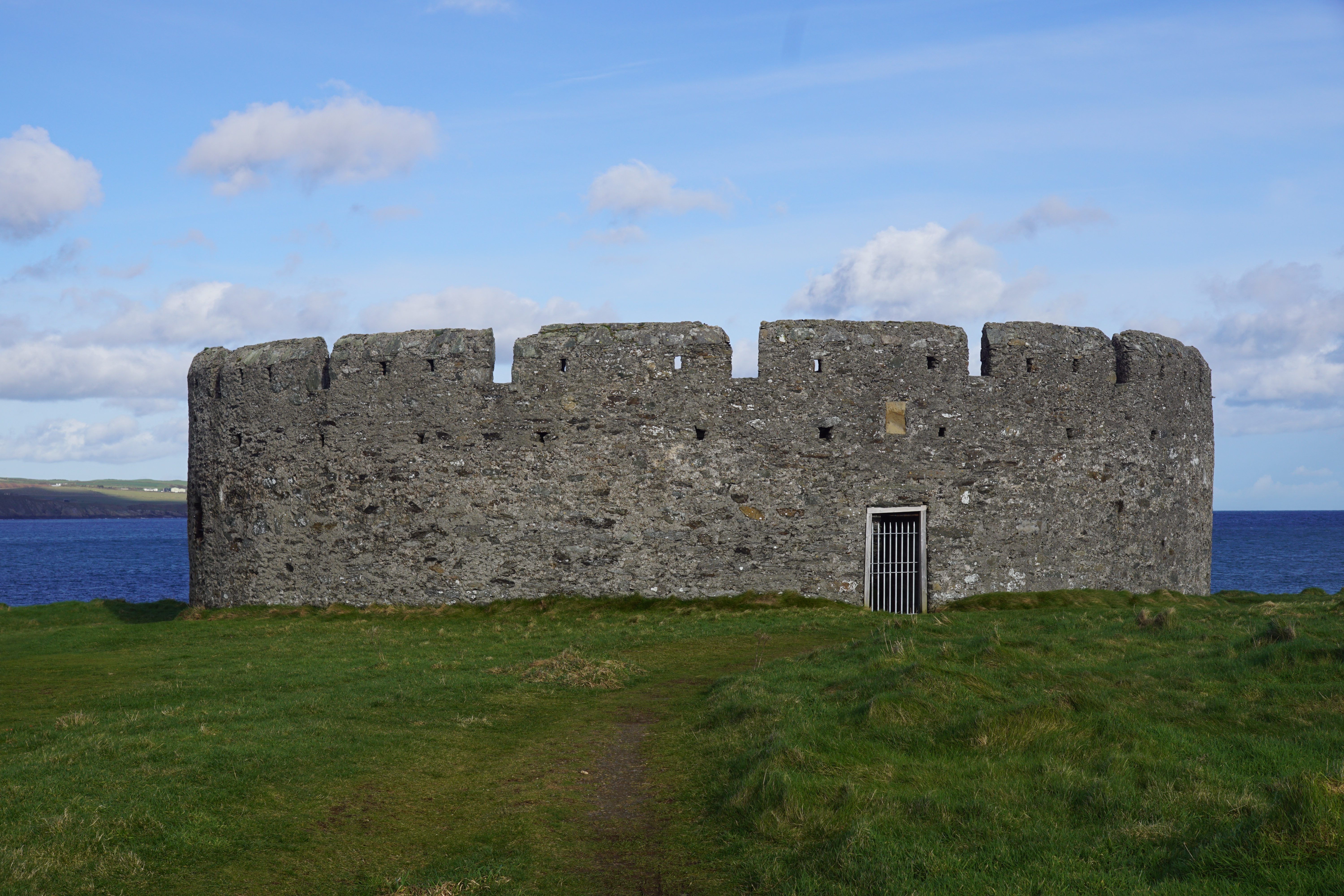
St Michael's Isle, also called Fort Island, is a rocky islet at the mouth of Derbyhaven Bay on the Langness peninsula, once cut off at high tide and now reached by a narrow causeway from Fort Island Road. The Chronicles of the Kings of Man and the Isles record a battle here in 1250 and name St Michael's Chapel, a roofless church on the site of an earlier Celtic keeill that Manx National Heritage, which cares for the island, ranks among the best preserved relics of early Manx Christianity. Nearby stands the round Derby Fort, built on the orders of Henry VIII against French or Spanish raiders, refitted by the Earl of Derby in the Civil War and later used as a lighthouse; it is seen from outside through its barred gateway, cannon still inside. Reviewers come for the views, the seals and the quiet, and warn that the single-track road and causeway are narrow. The Raad ny Foillan coast path makes a signed detour on to the island.

Check today’s timesSee all times
  • St Michael's IsleSee opening notes
Opening times may change at short notice.

Open access all year round; no admission fee. Donations to Manx National Heritage are welcome. MNH has guardianship of the monuments but the land is mostly not its own and visits are at your own risk.

MNH does not say whether the chapel or the fort can be entered: reviewers and recent photographs show the fort's gateway closed by a barred gate, so it is seen from outside and through the gate, and the roofless chapel can be seen close up. There are no toilets, refreshments, staff or information boards. A path circles the centre of the island; it is uneven, with dips and rabbit holes, but mostly easy going, while the ground off the path, especially to the north and east, is rough. The causeway bridge is narrow and has no walls in places.

Observe the Isle of Man Country Code: wear stout footwear, expect changes in weather, tell someone where you are going and do not rely on mobile reception. Visit Isle of Man lists the island as one of the Island's Dark Sky Discovery Sites.

Photo: Derby Fort on St Michael's Isle from the south-west, its round crenellated stone wall and barred gateway on open grass with the sea behind. Otter, CC BY-SA 4.0. Source: https://commons.wikimedia.org/wiki/File:Isle_of_Man_-_St_Michael%27s_Isle_(Fort_Island)_-_Derby_Fort_20240222_from_southwest.jpg. Licence: https://creativecommons.org/licenses/by-sa/4.0. Resized and cropped for display; derivatives retain the source licence.

Reviews & Tips

No reviews yet

No reviews yet. Be the first to share your experience!

Walking routes2 routes
Raad ny Foillan, stage 2: Derbyhaven to Port St Mary(opens the full route on the National Trust site)
Walk·Dog access not confirmed·19.5 km
distance

A 19.5 km stage of the Island's coastal footpath from Ronaldsway Flying Club to Port St Mary's Alfred Pier, graded leisurely, low-lying and reasonably flat with some road and track walking; the Derbyhaven and Langness section is described as family friendly. The guide says 'Make time to divert onto St Michael's Isle / Fort Island and see the 12th century chapel and civil war fort. There are often seals in the water here', then follows the signs across the golf course to the east coast. The island is joined at the car park and causeway.

Read moreShow less

Checked 2026-10-17

Railway Ramble: Castletown, Derbyhaven, Langness and St Michael's Island(opens the full route on the National Trust site)
Walk·Dog access not confirmed·11.6 km distance

An 11.6 km circular walk graded leisurely, starting and finishing at Castletown station on the Isle of Man Steam Railway, on unsurfaced rural paths and tracks round Derbyhaven and the Langness peninsula to the island's fort and keeill; walking boots recommended.

Read moreShow less

Checked 2026-10-17

Nearby

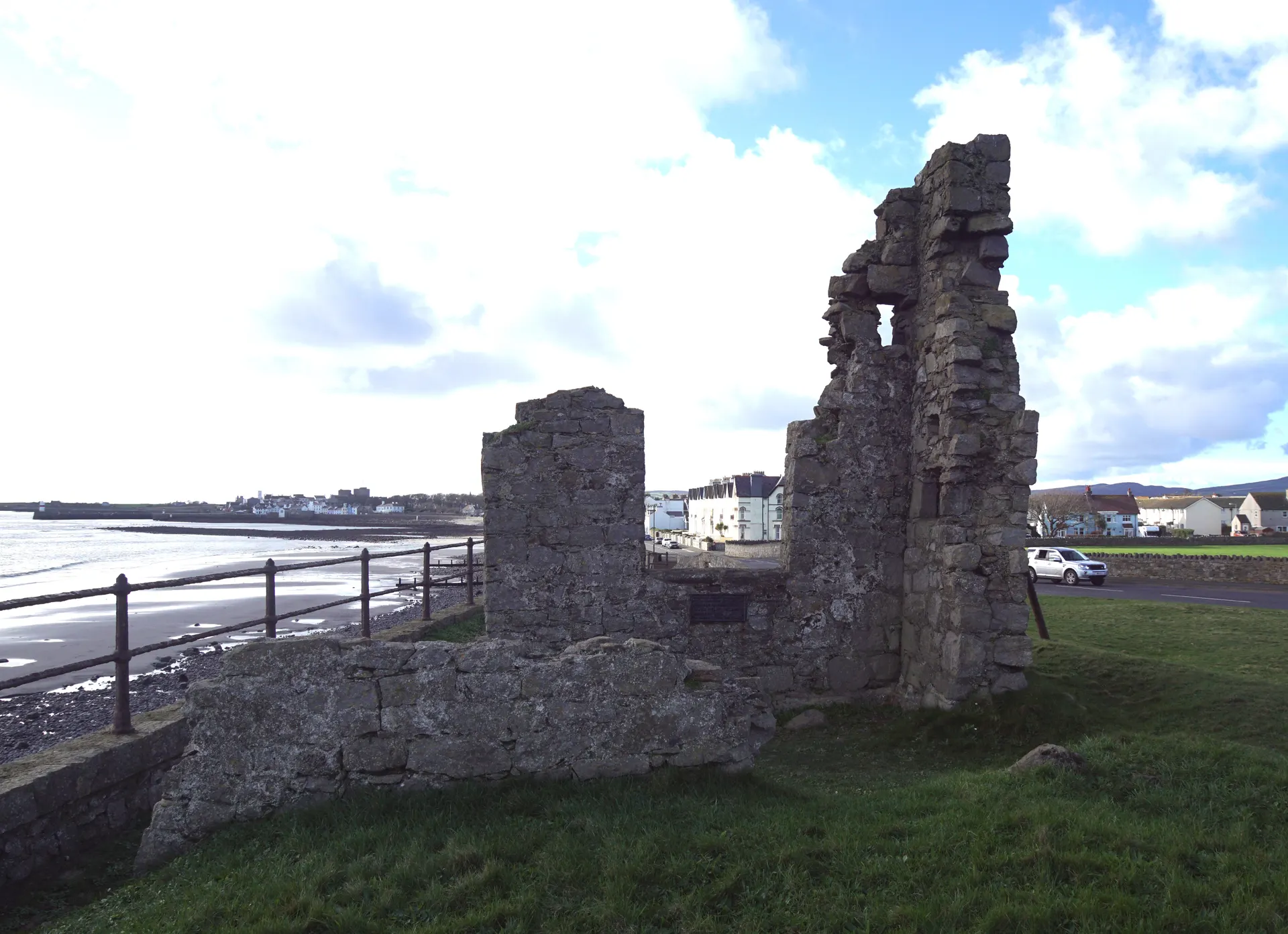
Hango Hill

1.3 mi

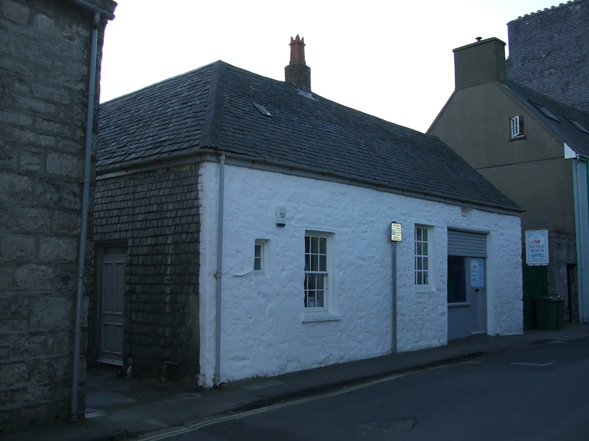
Nautical Museum

1.7 mi

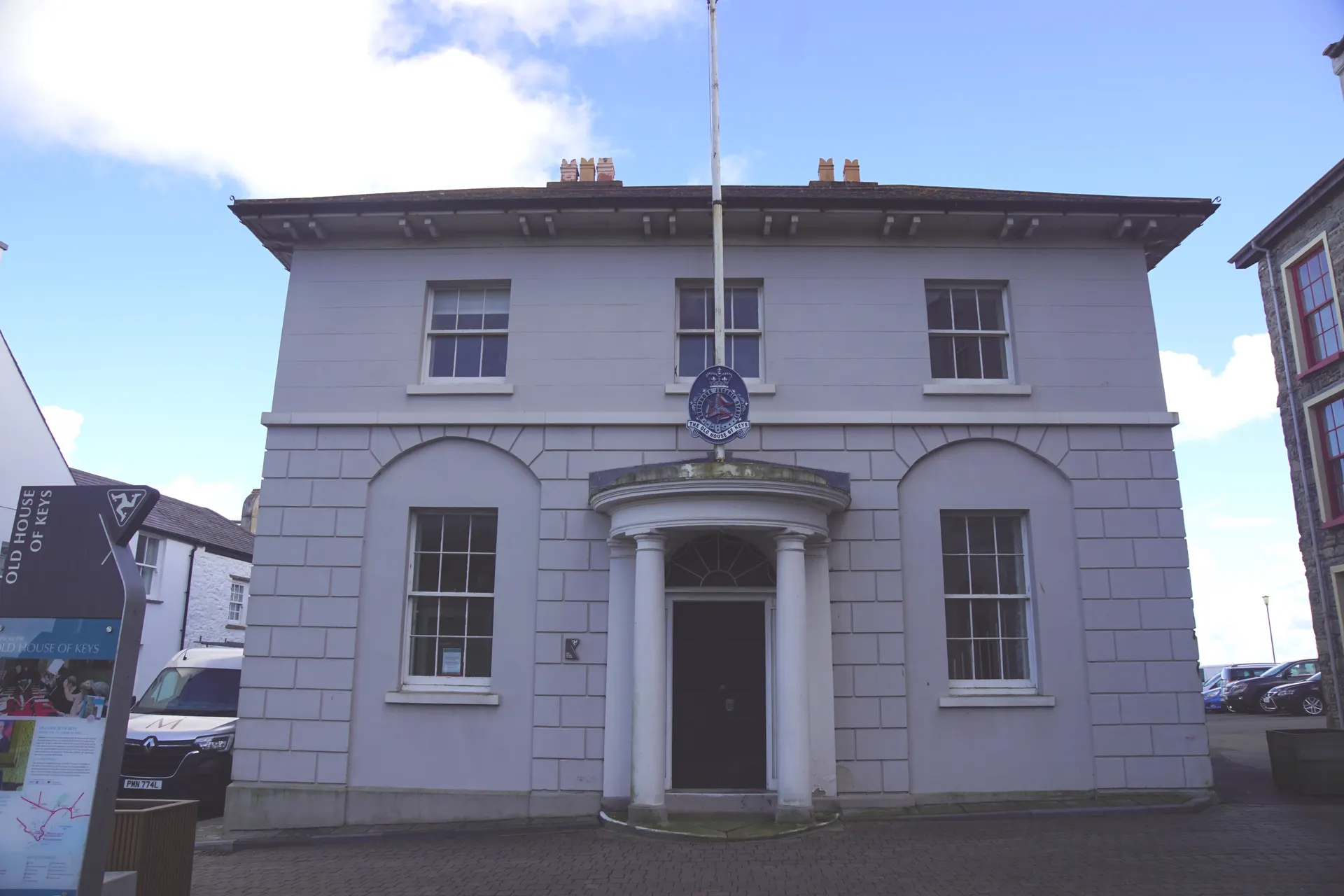
Old House of Keys

1.8 mi

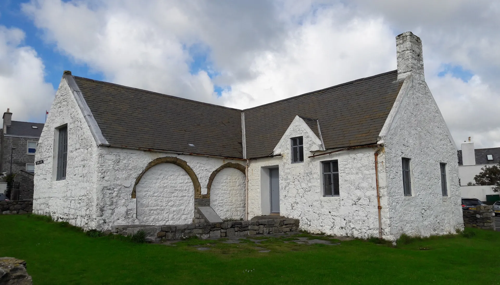
Old Grammar School

1.8 mi

Castle Rushen

1.8 mi

Rushen Abbey

2.0 mi

Balladoole

3.0 mi

Broogh Fort

4.4 mi

The Braaid

6.0 mi