About
High on the slopes south of Soutra Hill, two stretches of the great Roman road known as Dere Street survive in remarkable condition. The road was built on the orders of Gnaeus Julius Agricola, Roman governor of Britain, during his campaigns of AD 79 to 81, and ran from Corbridge by Hadrian's Wall over the Cheviots to the large fort at Newstead by Melrose, then by the Leader Water to Musselburgh and Cramond on the Forth. A milestone shows it was used again in the Antonine period, about 60 years later, and long after the Romans left it remained a route north: Edward I marched his army along it to victory at Falkirk in 1298. Here the road is more than 7 m wide, with small quarry pits beside it that supplied its gravel. The setting is open upland. Park by Soutra Aisle on the B6368 for the northern stretch, or at Kirkton Hill Farm for the southern one on Turf Law.
Check today’s timesSee all times
- Dere Street Roman RoadOpen at all times
Opening times may change at short notice.
Historic Scotland: 'Dere Street Roman Road is free to visit and open all year round.' No hours are published.
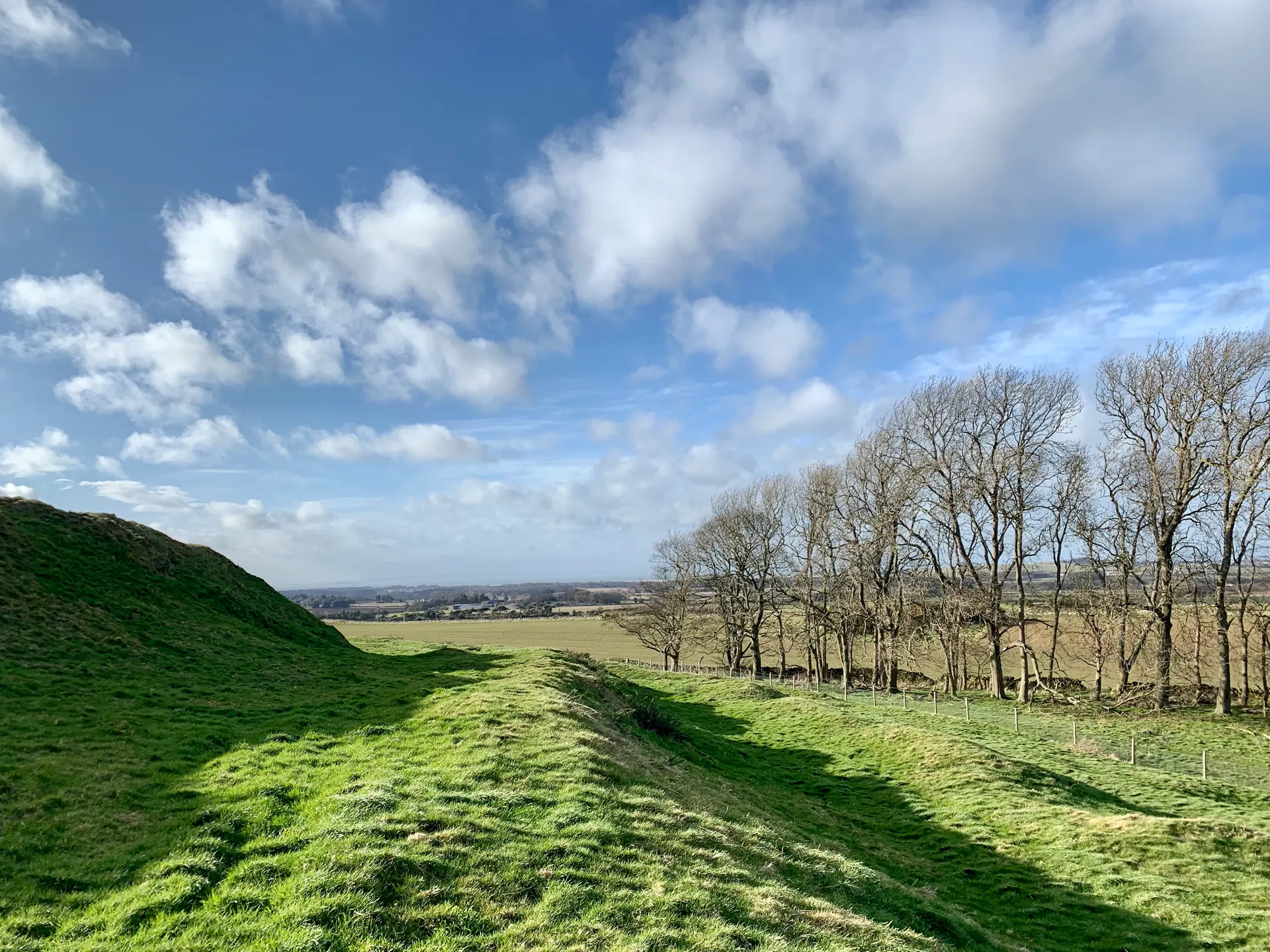
Two stretches are in Historic Scotland's care on the open hillside south of Soutra: a northern one starting near Soutra Aisle and a southern one on the slope of Turf Law, each about a kilometre long, reached across fields and farm tracks. The road survives as a grassy raised bank more than 7 m wide with small quarry pits beside it. No toilets or other facilities.
Photo: The grassy raised line of Dere Street near Soutra Aisle, with shallow quarry pits beside it and wind turbines on the skyline. Mainlymazza, CC BY-SA 4.0. Source: https://commons.wikimedia.org/wiki/File:Dere_Street,_remains_of_Roman_Road_near_Soutra_Aisle_04.jpg. Licence: https://creativecommons.org/licenses/by-sa/4.0. Resized and cropped for display; derivatives retain the source licence.
Reviews & Tips
No reviews yet
No reviews yet. Be the first to share your experience!