About
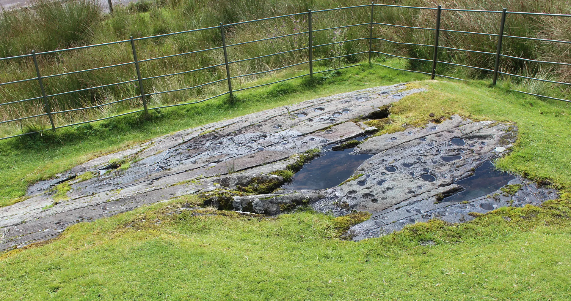
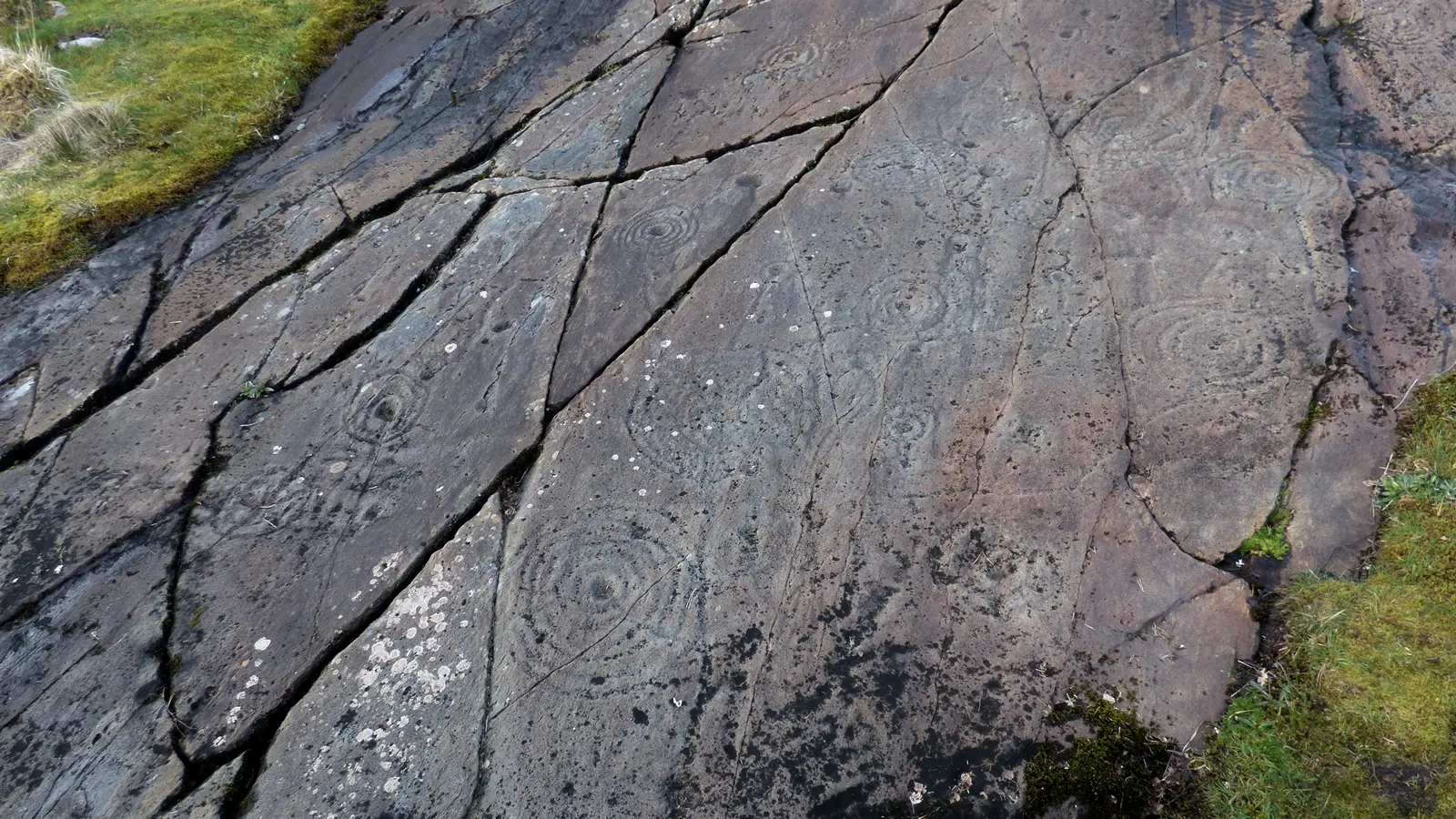
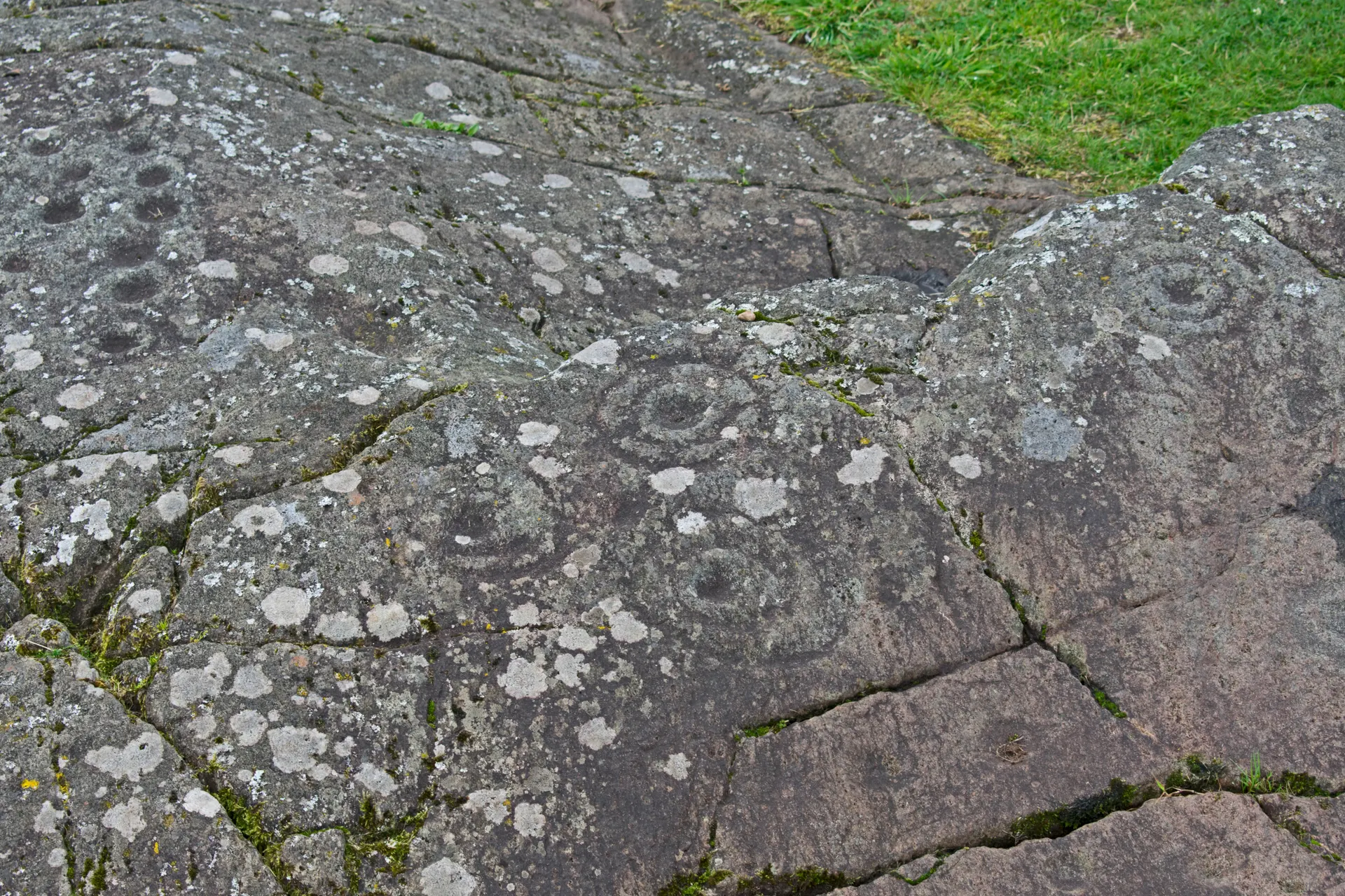
Dunadd Fort is a rocky outcrop rising from the Moine Mhor, the great moss that carpets the southern end of Kilmartin Glen, and one of the most important early medieval sites in Britain: a fort 2,000 years ago, it became a royal power centre of the Gaelic kings of Dal Riata between the 500s and 800s. The climb passes through a narrow natural passage and up terraces still edged by stone walls to the strongly defended summit enclosure. Carved into the rock near the top are a basin, a boar, an Ogham inscription and two footprints, probably used when a new king set his foot in the stone. Excavation found the largest range of pottery of any site in north-west Europe. Reviewers love hunting for the footprint and the 360-degree view, warn that the climb is steep and slippery in the wet, and park in the car park by the River Add; the path crosses working farmland.
Check today’s timesSee all times
- Dunadd FortOpen at all times; an unstaffed open site, no hours published
Opening times may change at short notice.
Historic Scotland: 'Dunadd Fort is free to visit and is open year-round.' No hours, closures or notices on 20 October 2026. Historic Scotland's directory lists it as 'Kilmartin Glen: Dunadd Fort'.
The site is reached through working farmland, so follow the Scottish Outdoor Access Code to keep yourself and the livestock safe; strong footwear is recommended. The climb is steep and rocky through a natural passage and up terraces, slippery when wet, with information boards on the way. No toilets or facilities.
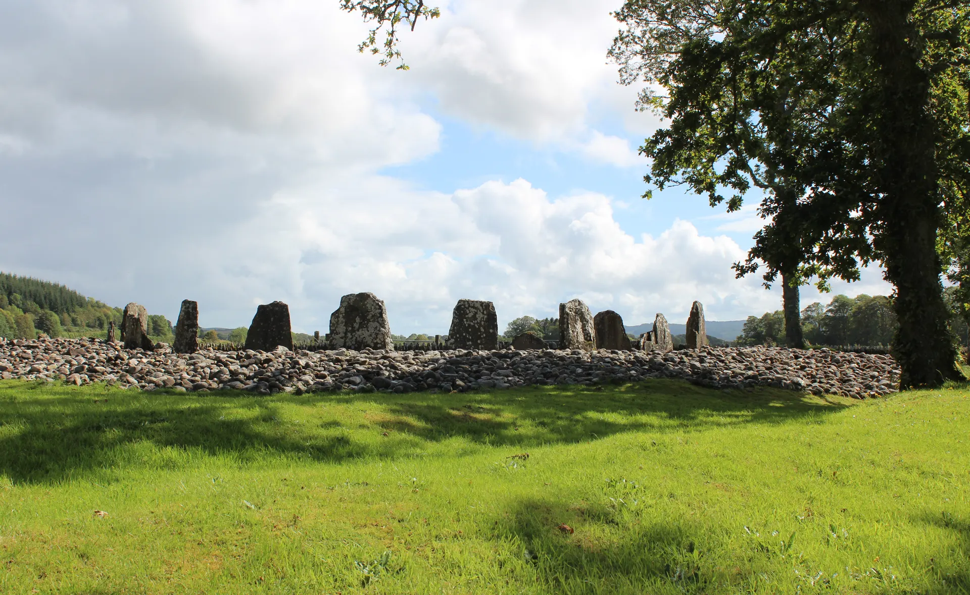
Photo: The rocky hill of Dunadd rising above the fields of the Moine Mhor, with a white cottage at its foot and cattle grazing. Bob Embleton, CC BY-SA 2.0. Source: https://commons.wikimedia.org/wiki/File:Dunadd_fort_-_geograph.org.uk_-_2563310.jpg. Licence: https://creativecommons.org/licenses/by-sa/2.0. Resized and cropped for display; derivatives retain the source licence.
Reviews & Tips
No reviews yet
No reviews yet. Be the first to share your experience!