About
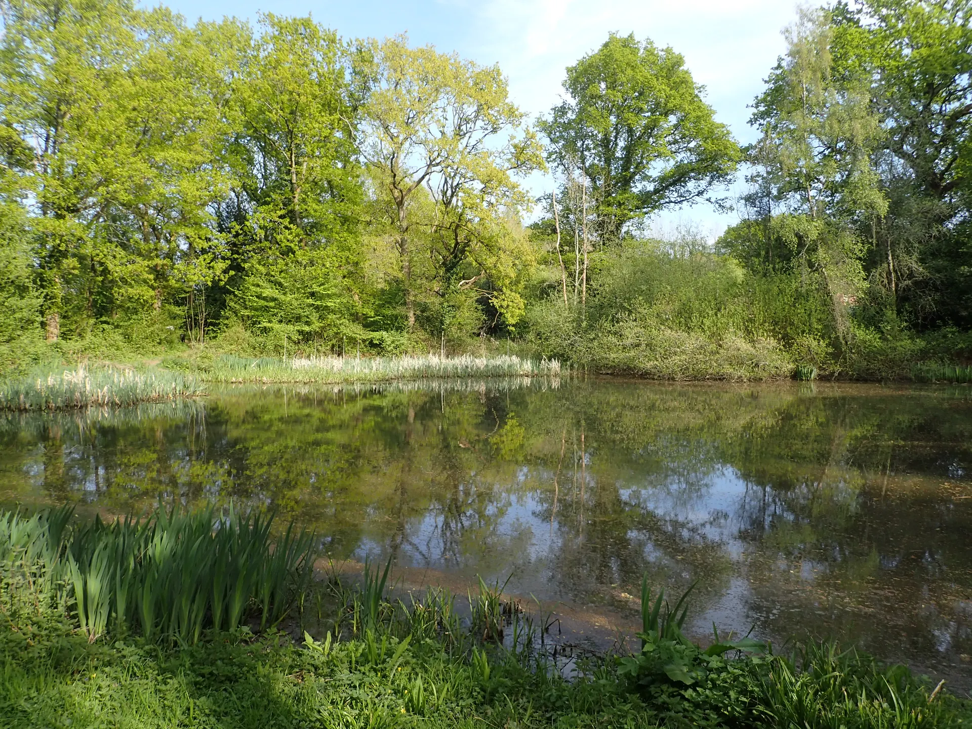
Limpsfield Common is an ancient common on the Greensand Ridge near Oxted, where commoners once grazed their animals and gathered stone and firewood. Today a network of footpaths and bridleways crosses patches of open heath and large woods, with beech trees around 200 years old, bluebells in spring and an old Roman road. Look for the bank of a 400-acre deer park created in 1616 for Sir Thomas Gresham, Lord of the Manor of Titsey, and for the Second World War air raid shelter built for pupils of Limpsfield School, restored to its wartime condition and opened by the Friends of Limpsfield Common on selected days. A Trust survey counted 28 breeding bird species on the common. Reviewers single out the quiet woodland paths, and families hunt for the little animal houses built into logs among the trees. One tip: paths get muddy, so wear boots. Dogs are welcome across the common. Three waymarked trails include a short bluebell loop at Ridlands Grove.
Check today’s timesSee all times
- CountrysideSee opening notes
Opening times may change at short notice.
Open common; NT's opening calendar lists no set hours for Limpsfield Common.
No toilets. The air raid shelter opens only on selected days run by the Friends of Limpsfield Common.
Trails have slopes and uneven, sometimes muddy surfaces; the family trail is not suitable for buggies or wheelchairs.
PricingFreeFree for all visitors
Free entry for everyone
Entry
Free for everyone
Pricing details
Free for everyone to walk on the common. The NT page does not say whether its car parks charge.
ParkingParking not known
The Trust's page does not say how parking is charged.
Parking details
Several National Trust car parks around the common; the NT page does not say whether any charge applies. High Chart car park (RH8 0TW, the NT postal postcode) starts the family trail; Ridlands Grove car park (RH8 0SY, grid ref TQ418521) starts the bluebell walk; Grub Street car park by Limpsfield Chart Golf Club on the A25 (RH8 0SL) starts the Carpenters Arms walk. Other car parks include New Road and Scearn Bank.
Driving pin: Google's 'High Chart Car Park | National Trust' listing (51.2500360, 0.0427162), the car park NT's family trail gives at RH8 0TW, the postcode of NT's postal address; it is about 70 m from NT's own coordinate and about 120 m from the main 'National Trust - Limpsfield Common' listing on Moorhouse Road.
Reviews & Tips
No reviews yet
No reviews yet. Be the first to share your experience!
Pins
No pin photos yet
Walking routes3 routes
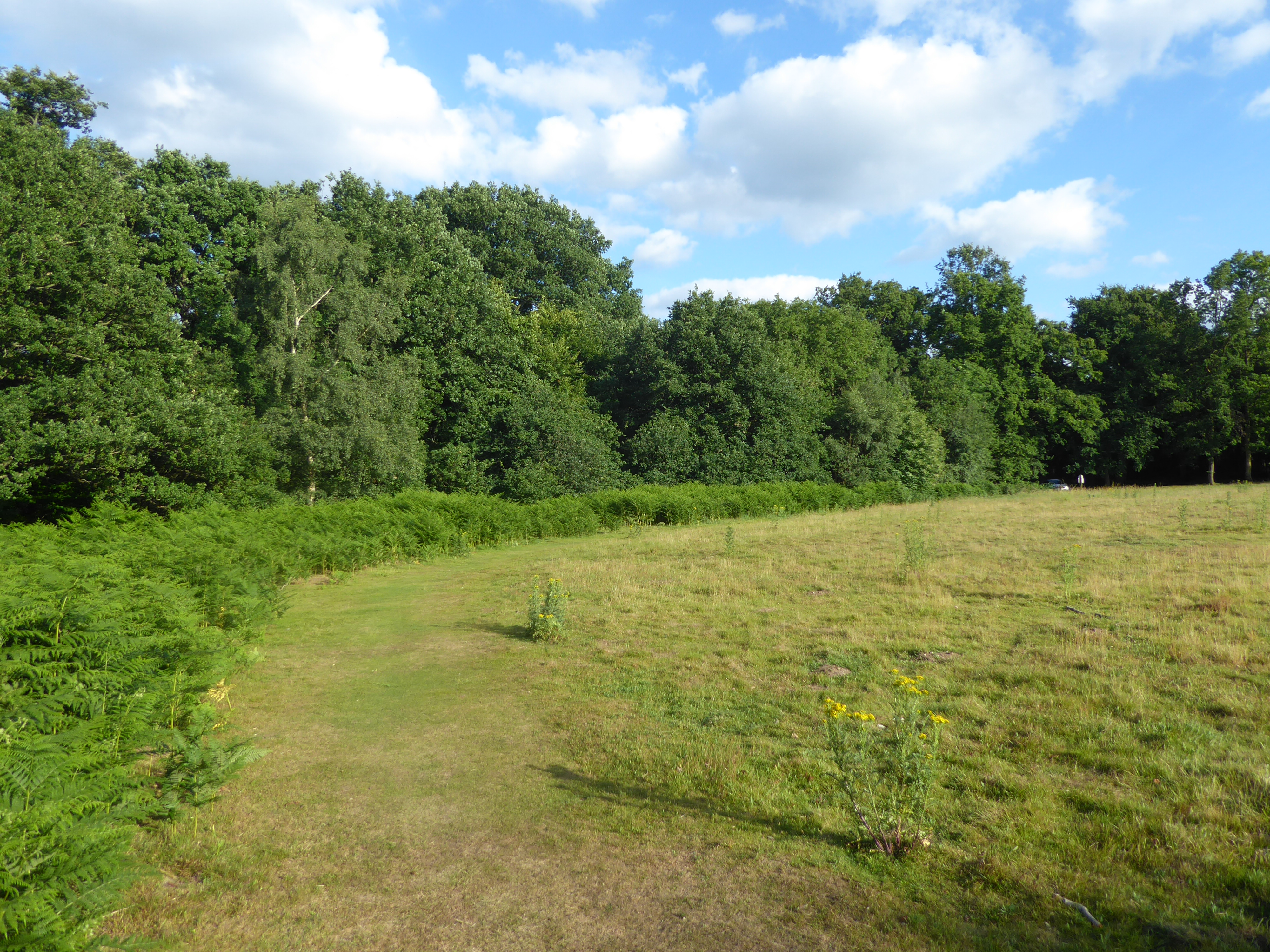
Ridlands Grove short spring walk at Limpsfield Common(opens the full route on the National Trust site)
WalkeasyDog friendly1.2 km distance15m