About
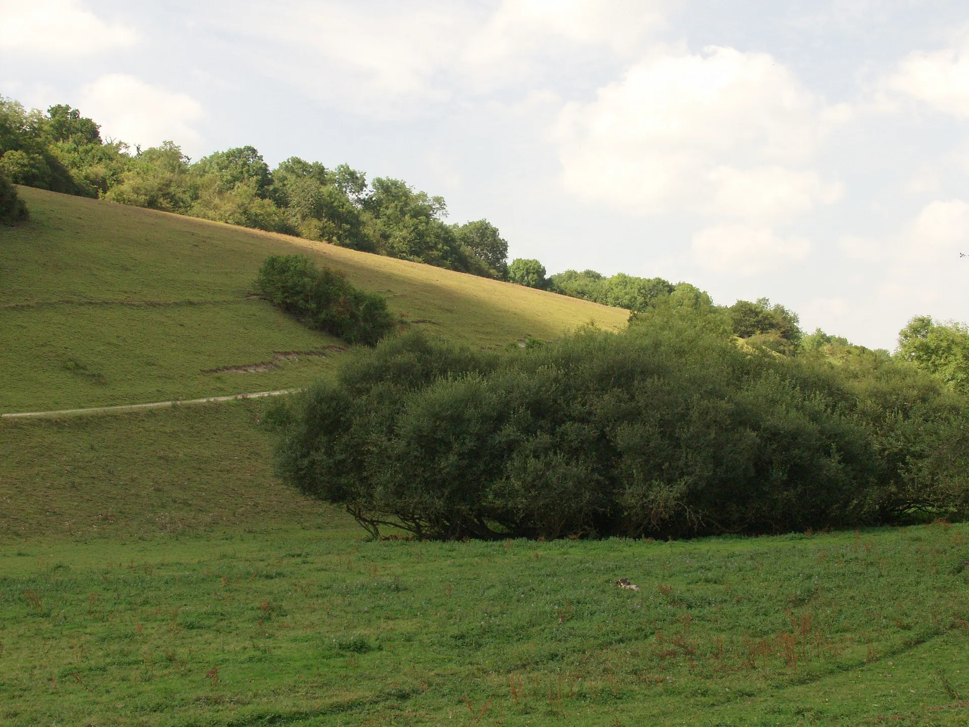
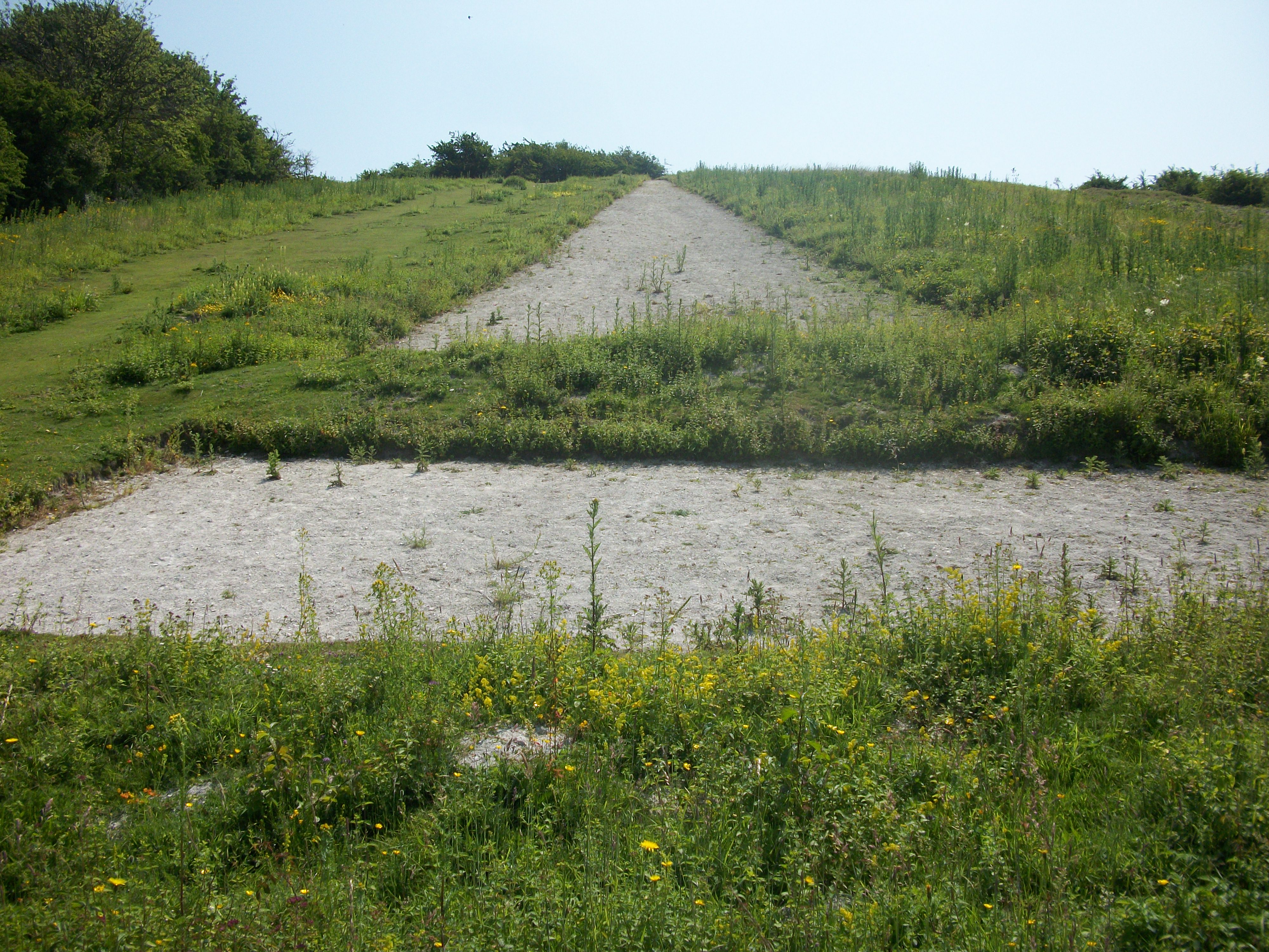
Watlington Hill rises from the Chiltern escarpment above the Oxfordshire town of Watlington: 45 hectares of chalk grassland, scrub and unusual yew woodland. Its best-known feature is the White Mark, a 270ft steeple-shaped figure cut into the chalk in 1764 by local squire Edward Horne, who felt the parish church of St Leonard would look grander from his house if it had a spire. Rock rose, eyebright and twayblade flower in the short turf, silver-spotted skippers fly in late summer, and red kites and ravens wheel in the thermals off the edge of the hill. Reviewers single out the far-reaching views, watching the red kites and spotting deer in the fields below. One tip: the slopes are steep in places and paths turn muddy and slippery after rain, so wear stout shoes. Dogs are welcome under close control. A waymarked short walk from the car park reaches the White Mark and its bench in about an hour.
Check today’s timesSee all times
- CountrysideSee opening notes
Opening times may change at short notice.
Open countryside; NT's opening calendar lists no set hours for Watlington Hill.
No toilets, cafe or shop on site.
Steps and uneven terrain; the short walk has one gentle ascent and one slightly steep descent on soft paths, with gates but no stiles, and is not suitable for wheelchairs.
PricingFreeFree for all visitors
Free entry for everyone
Entry
Free for everyone
Pricing details
Free for everyone to walk on Watlington Hill. Parking is charged separately for non-members; the NT page does not publish the tariff.
ParkingParking not known
The Trust's page does not say how parking is charged.
Parking details
National Trust pay and display car park at the top of Hill Road, Watlington, OX49 5HS, free for NT members (register your membership at the machine or in the JustPark app, location code 80702). Non-members pay at the machine or through JustPark; the NT page does not publish the tariff. Download the app and create an account before your visit if you plan to use it.
Driving pin: Google's 'Watlington Hill NT Car Park' listing (51.6363966, -0.9757695), which matches the OSM National Trust car park polygon and NT's trail start grid reference SU709935 (about 30 m away) at satnav postcode OX49 5HS. NT's postal address is the Hughenden estate office in High Wycombe and was not used for the pin.
JustPark location code
80702Enter this code in JustPark to pay, or at the machine.
Reviews & Tips
No reviews yet
No reviews yet. Be the first to share your experience!
Pins
No pin photos yet
Walking routes1 route
Watlington Hill short walk(opens the full route on the National Trust site)
WalkmoderateDog friendly2.4 km distance1hr to walk