About
Y Gaer Roman Fort, Caer Rufeinig y Gaer or Brecon Gaer, lies in quiet farmland at Aberyscir west of Brecon, where you would never guess it was once one of the largest inland Roman forts in Wales. Founded about AD 75 at the meeting point of two major roads, it was garrisoned by a Spanish cavalry regiment, the Vettones, some 500 strong, and held a large guardhouse, granary, heated bathhouse and drill hall inside walls enclosing seven acres, with a civil settlement and cemetery outside. Mortimer Wheeler excavated it in 1924 and 1925, and the consolidated stone remains of the west, south and east gateways and several towers stand up to 8 feet high around what is now a sheep field. The fort sits on a working farm: there is no vehicular access and no signage, so walk 680 metres down the lane, through the farmyard and several gates, and expect access to be limited in the growing season.
Check today’s timesPick a day for times and prices
Today, Saturday 24 October
- Y Gaer Roman Fort10:00 – 16:00last admission 15:30
Free entry
Opening times may change at short notice.
Open all year 10am to 4pm, last admission 30 minutes before closing; closed 24, 25 and 26 December and 1 January. No admission charge. Cadw: the site is on a working farm so access is limited during the growing season (no dates given). Cadw may close monuments at short notice in extreme weather.
Terrain level 3, moderate: a farm lane, a working farmyard, several farm gates and a grazed field that may be muddy, with livestock present and a falling-masonry warning at the walls. No facilities or signage. Drones are not permitted.
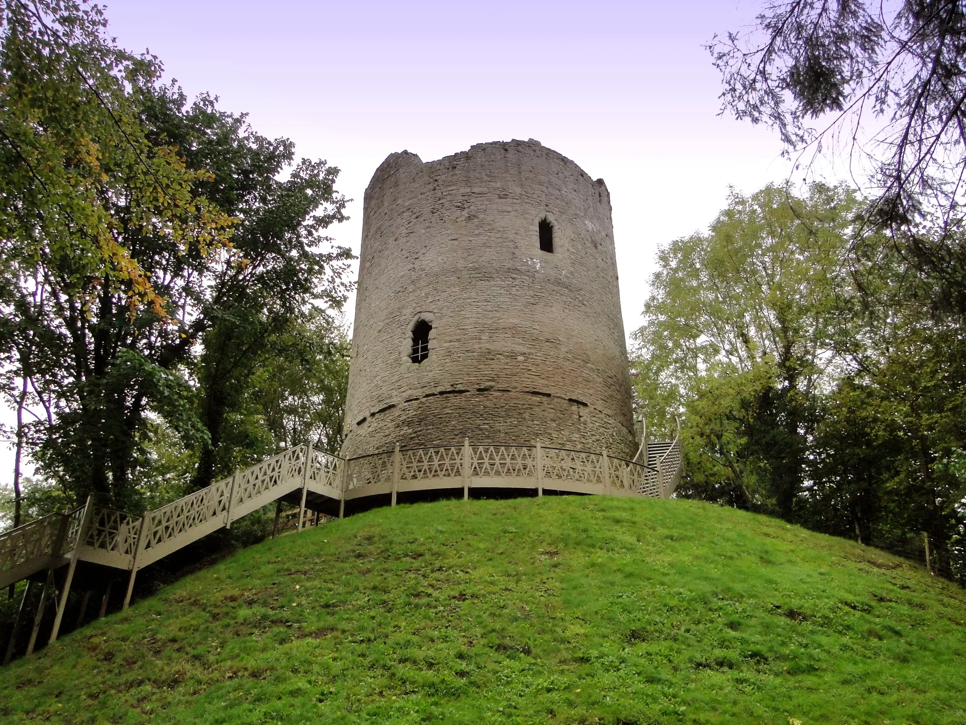
Photo: The consolidated stone foundations of Y Gaer's west gate in a grassy field, with sheep, fencing and the wooded Usk valley farmland beyond. PicturePrince, CC BY-SA 4.0. Source: https://commons.wikimedia.org/wiki/File:Y_Gaer_Brecon_HenSne_10_west_gate.JPG. Licence: https://creativecommons.org/licenses/by-sa/4.0. Resized and cropped for display; derivatives retain the source licence.
Reviews & Tips
No reviews yet
No reviews yet. Be the first to share your experience!