About
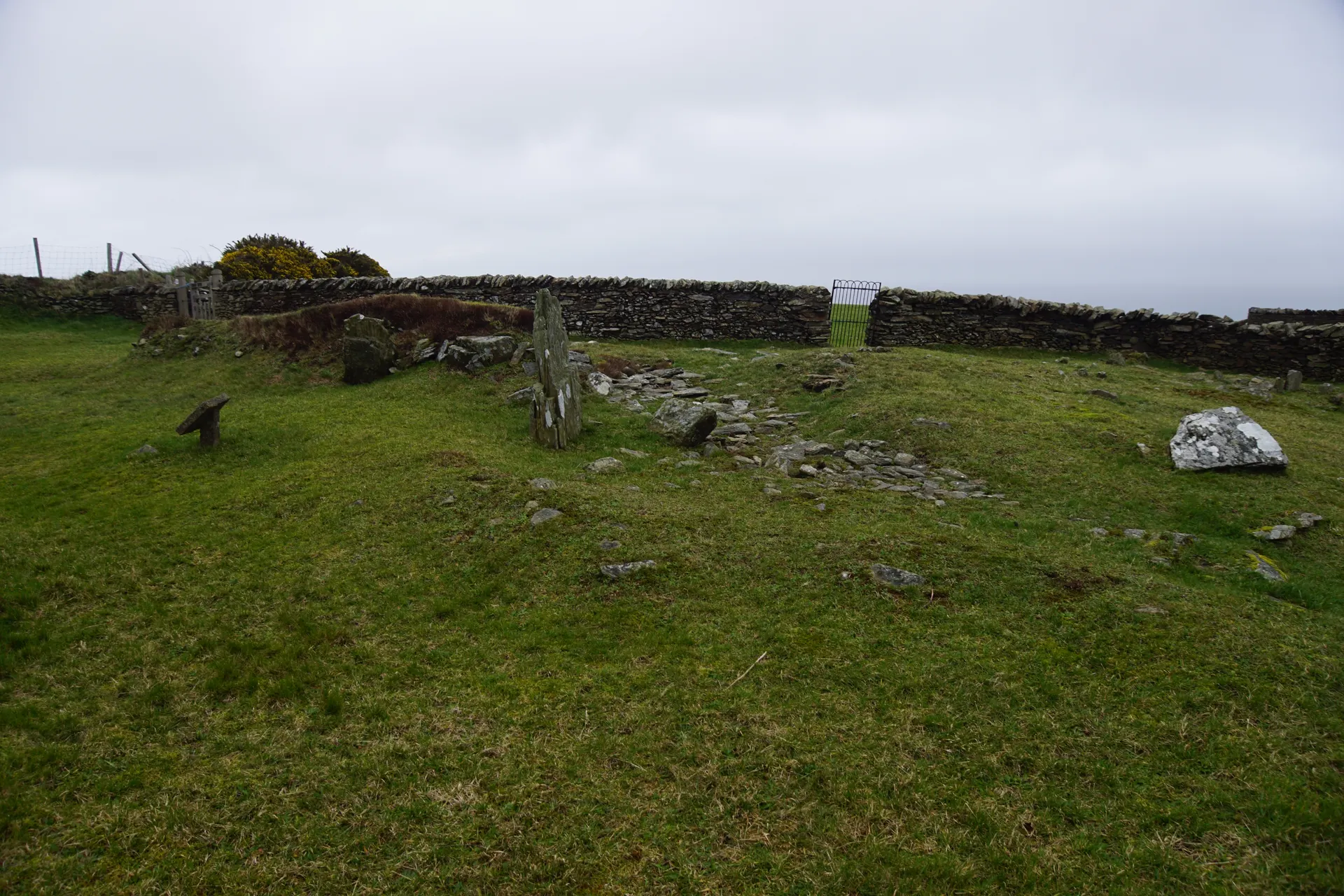
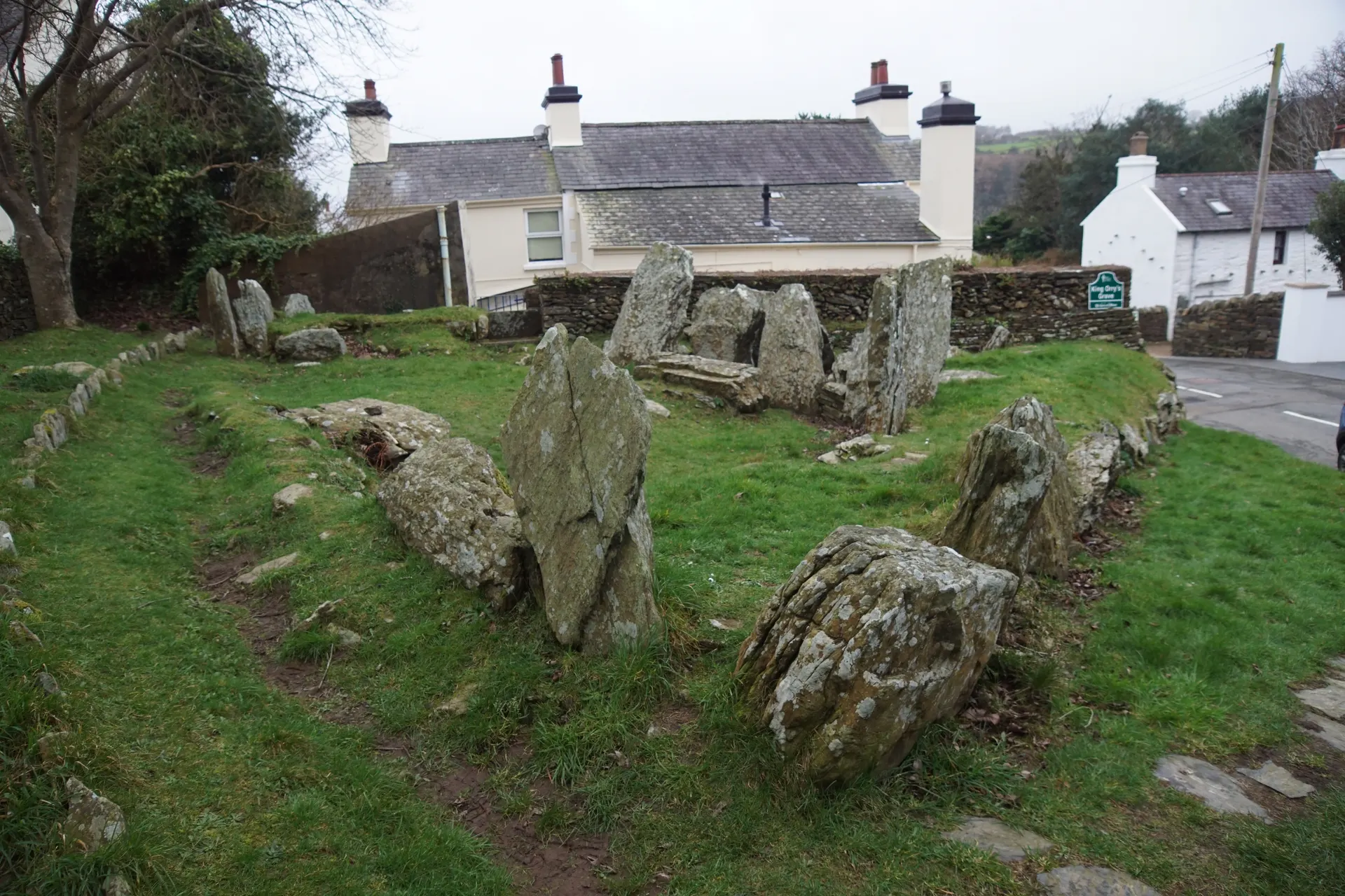
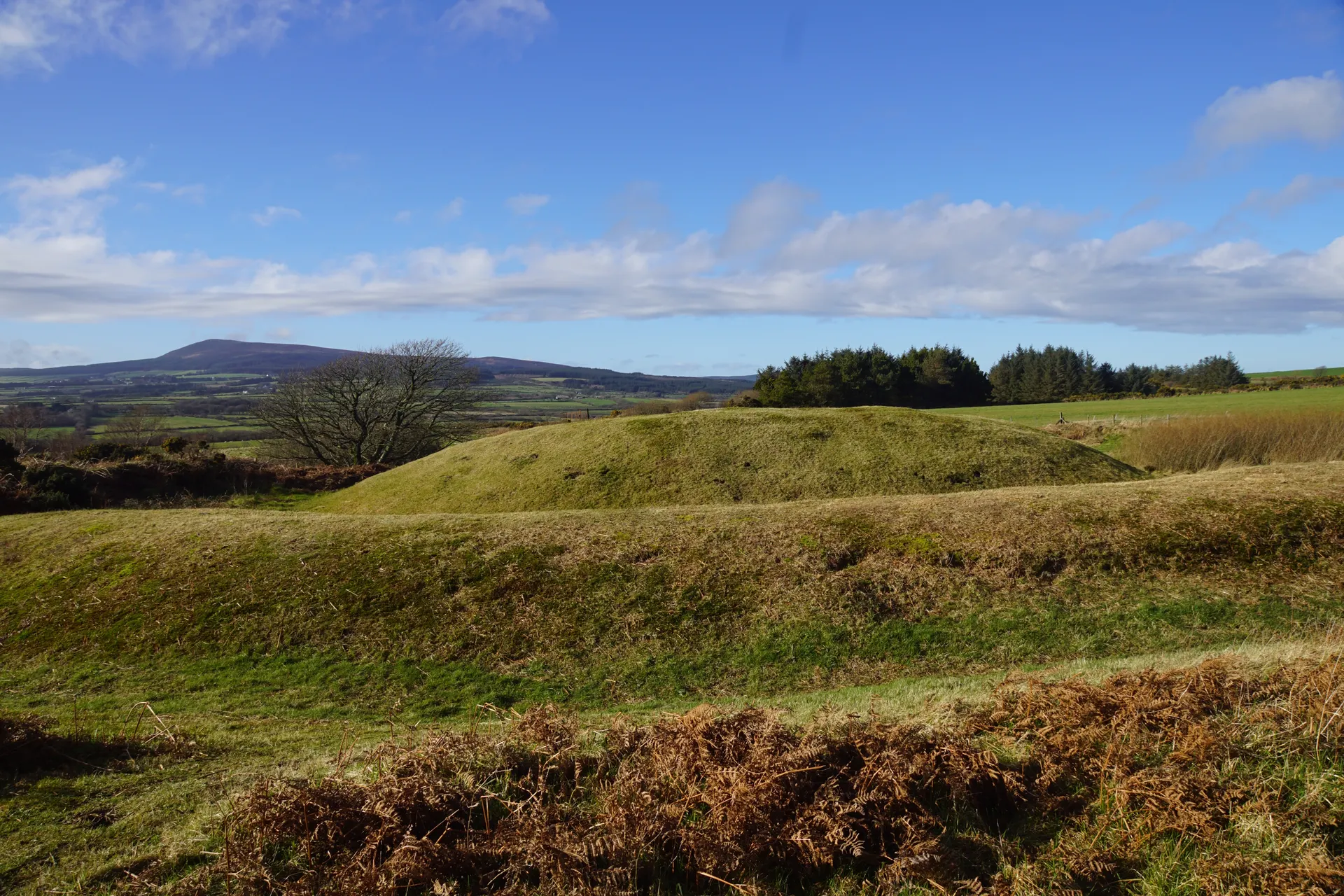
Cashtal yn Ard, Castle of the Height in Manx, is a Neolithic chambered long cairn of about 3000 BC on a rise above the parish of Maughold, cared for by Manx National Heritage. Excavation in 1932 and 1933 showed it to be an exceptional example of its kind: the small stones of the cairn have been stripped away over the centuries, leaving the tall, well set stones of the forecourt and the entrance to what were five burial chambers. The view takes in North Barrule, the Maughold countryside and, on a clear day, the Cumbrian coast, with Ballafayle Cairn on the skyline to the north-east. Reviewers find it peaceful and atmospheric and suggest bringing a guide to the island's archaeological sites. Tips from visitors: the lanes are narrow with no formal parking, so do not block field gates, and the 300 m footpath from the signposted gate is uneven and may cross a field with ponies or cattle. Dogs are permitted on leads only.
Check today’s timesSee all times
- Cashtal yn ArdOpen access
Opening times may change at short notice.
Open access; no entry fee. Donations to Manx National Heritage welcome. The land is mostly not owned by MNH and visits are at your own risk.
No toilets or facilities. The path from the signposted gate is about 300 m: narrow, winding and uneven with loose stones, enclosed by tall hedges and sloping gently up, then a rutted stony track along a field edge; a stone stile with a wooden rail or a metal gate leads into a field that may hold livestock (three small ponies when the guide was written), and a kissing gate 30 m further gives entry to the walled and fenced enclosure, grassy and uneven with protruding stones. The site can be viewed from the gate.
Dogs are permitted on leads only. Please observe the Isle of Man Country Code.
Dogs: Dogs are permitted on leads only, on the footpath and within the enclosure.
Photo: the forecourt and chamber stones of Cashtal yn Ard looking west along the long cairn towards the hills. Otter, CC BY-SA 4.0. Source: https://commons.wikimedia.org/wiki/File:Isle_of_Man_-_Cashtal_yn_Ard_20240220_looking_west_from_halfway_the_long_cairn.jpg. Licence: https://creativecommons.org/licenses/by-sa/4.0. Resized and cropped for display; derivatives retain the source licence.
Reviews & Tips
No reviews yet
No reviews yet. Be the first to share your experience!