About
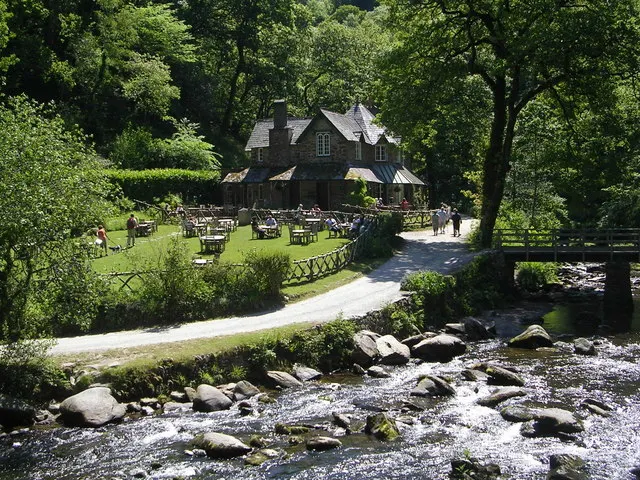
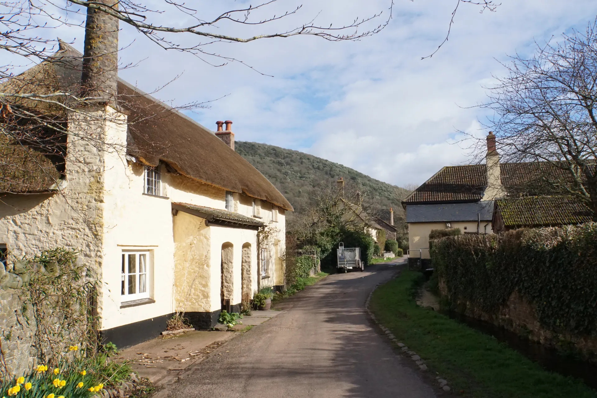
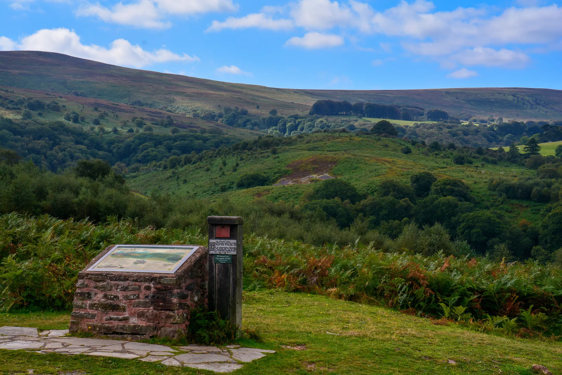
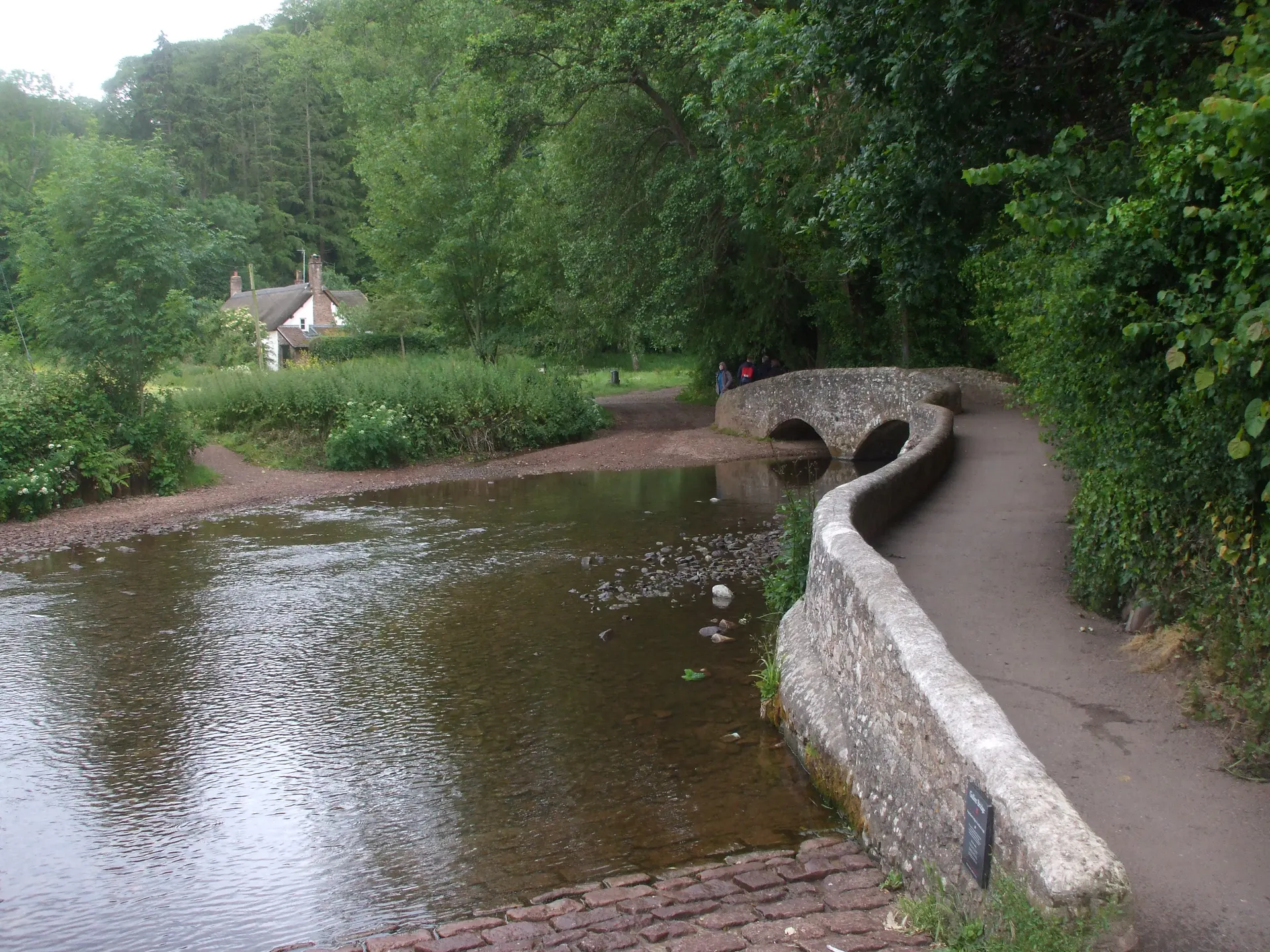
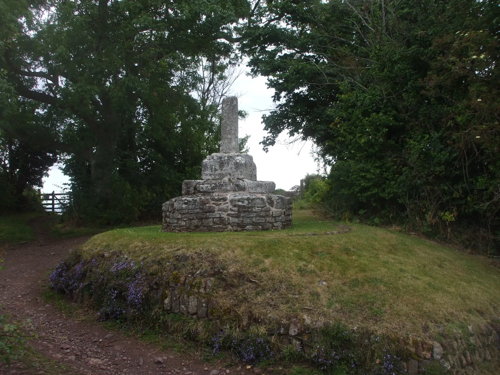
The Lorna Doone Valley is the stretch of Exmoor that R.D. Blackmore made famous in his novel Lorna Doone, where Badgworthy Water runs down to the hamlet of Malmsmead. A bridleway follows the river past a memorial to Blackmore and into ancient woodland to the remains of Badgworthy, a medieval village abandoned around the 15th century that the book made home to the outlaw Doones. Exmoor ponies and red deer roam the moor, prehistoric standing stones line the water, and the wild play area by the car park has tunnels, dens and a climbing frame. The 17th-century packhorse bridge is best seen from the garden of The Buttery tea room, which is not run by the Trust. Mobile signal is limited, so download the parking app before you arrive. Dogs are welcome throughout the valley and inside The Buttery, on leads. Five Trust trails start from the car park, from a 40-minute riverside stroll to a ten-mile loop via Foreland Point.
Check today’s timesSee all times
- Lorna Doone ValleyDawn – Dusk
- Car parkDawn – Dusk
- ToiletsDawn – Dusk
- Play Area
PricingFreeFree for all visitors
Free entry for everyone
Entry
Free for everyone
Pricing details
Free for everyone to walk in the valley. Parking is charged separately for non-members; the NT page does not publish the tariff.
ParkingParking not known
The Trust's page does not say how parking is charged.
Parking details
National Trust visitor car park at Lorna Doone Farm, Malmsmead (EX35 6NU; trail start grid ref SS791478), open dawn to dusk. Members park free once registered at the machine or in the JustPark app (location code 80620); non-members pay at the machine or through JustPark, but the NT page does not publish the tariff. Mobile signal is limited, so download the JustPark and Monta apps before arriving. Two EV charging points (Monta app), Blue Badge spaces and a drop-off point. The Cloud Farm Campsite car park is only for campers.
Driving pin: the 'Lorna Doone (Pay & Display)' car park in OpenStreetMap (51.2166808, -3.7311917), about 50 m north of The Buttery and the EX35 6NU postcode centroid, and inside grid square SS791478 given by NT as the start of every trail. NT's own coordinate (51.216183, -3.728033) is about 230 m east on the lane and was not used. Approach from the A39 via Oare and Hookway Hill as NT directs.
JustPark location code
80620Enter this code in JustPark to pay, or at the machine.
Reviews & Tips
No reviews yet
No reviews yet. Be the first to share your experience!
Pins
No pin photos yet
Walking routes5 routes
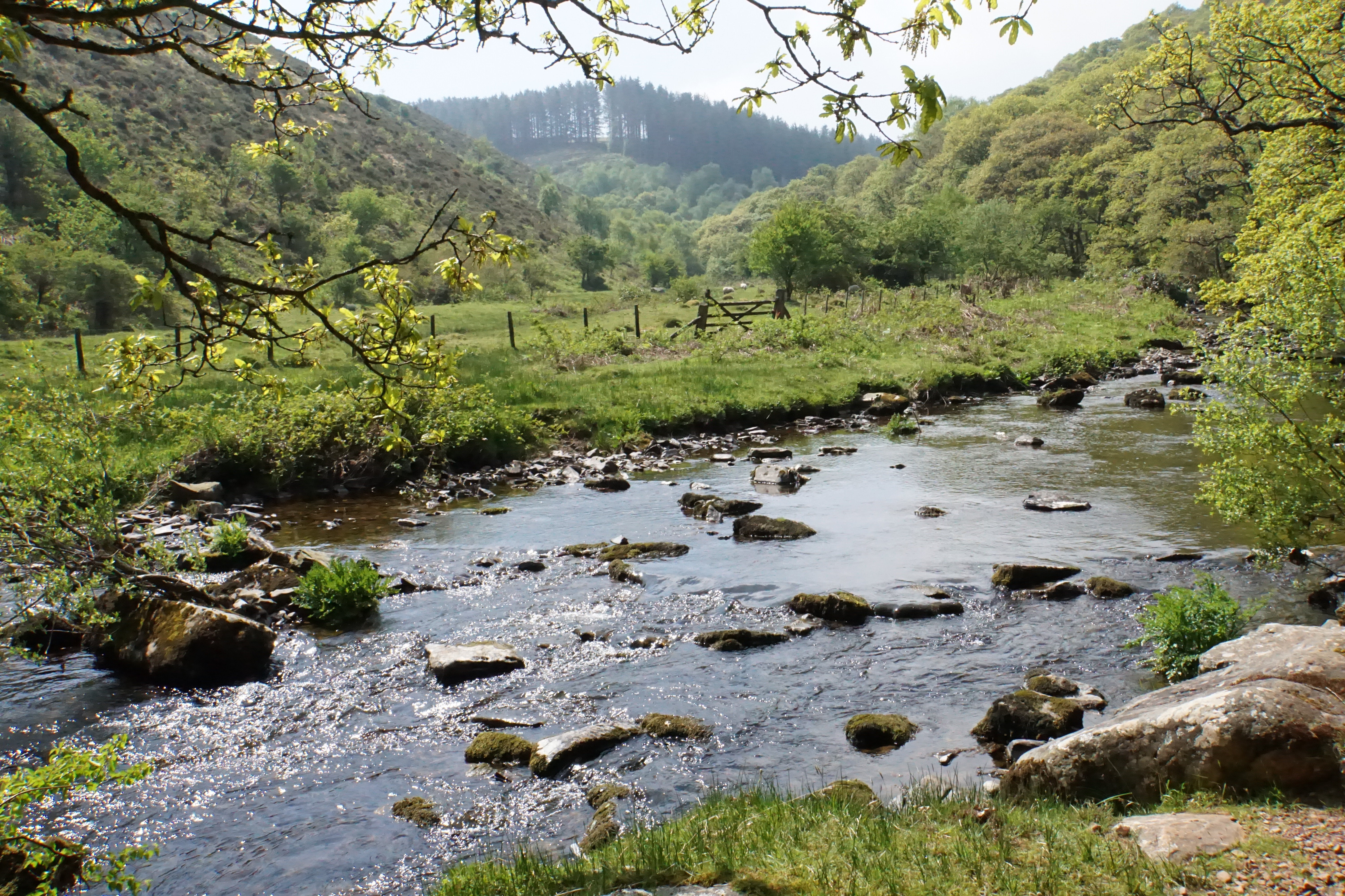
Lorna Doone Valley short river walk(opens the full route on the National Trust site)
WalkeasyDogs, with restrictions3.2 km distance40m to walk