About
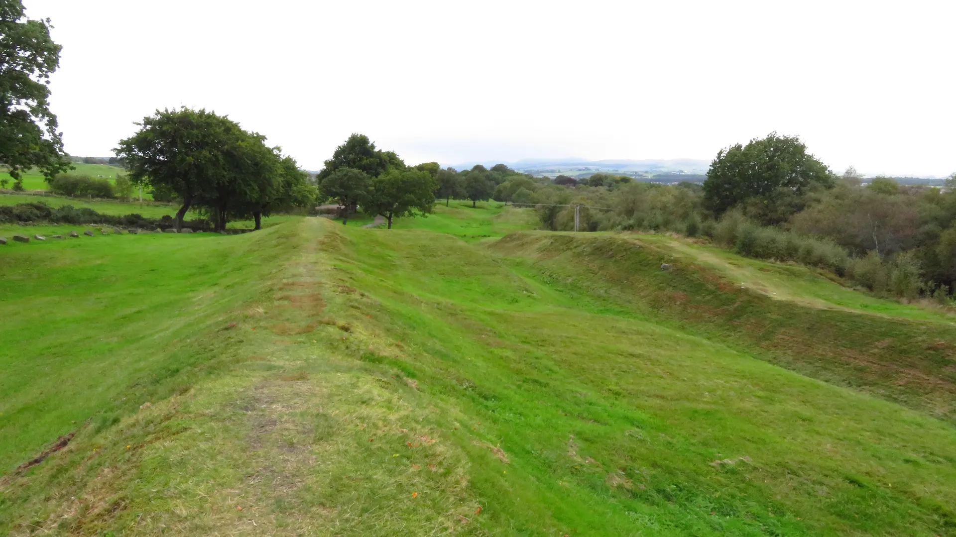
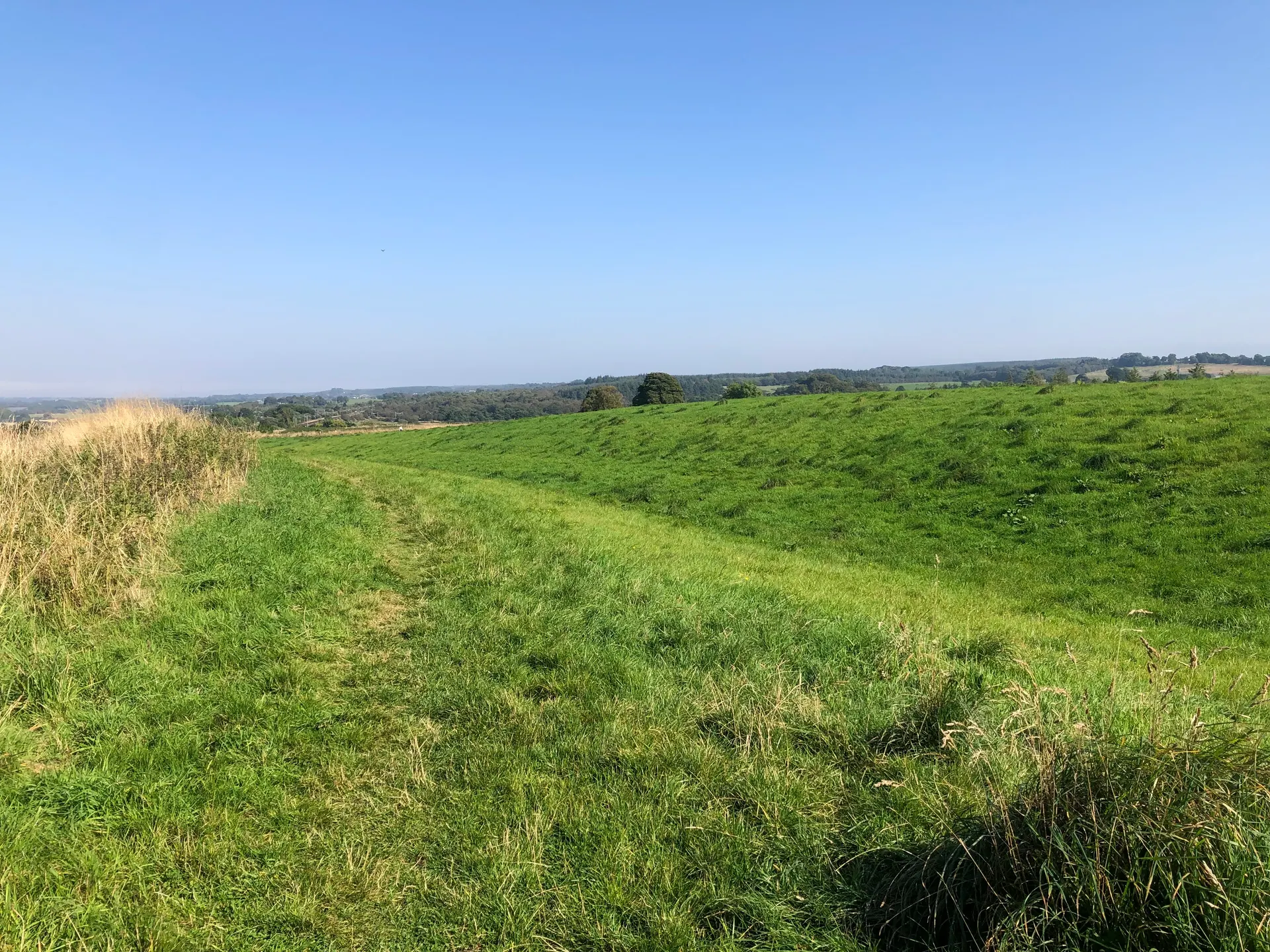
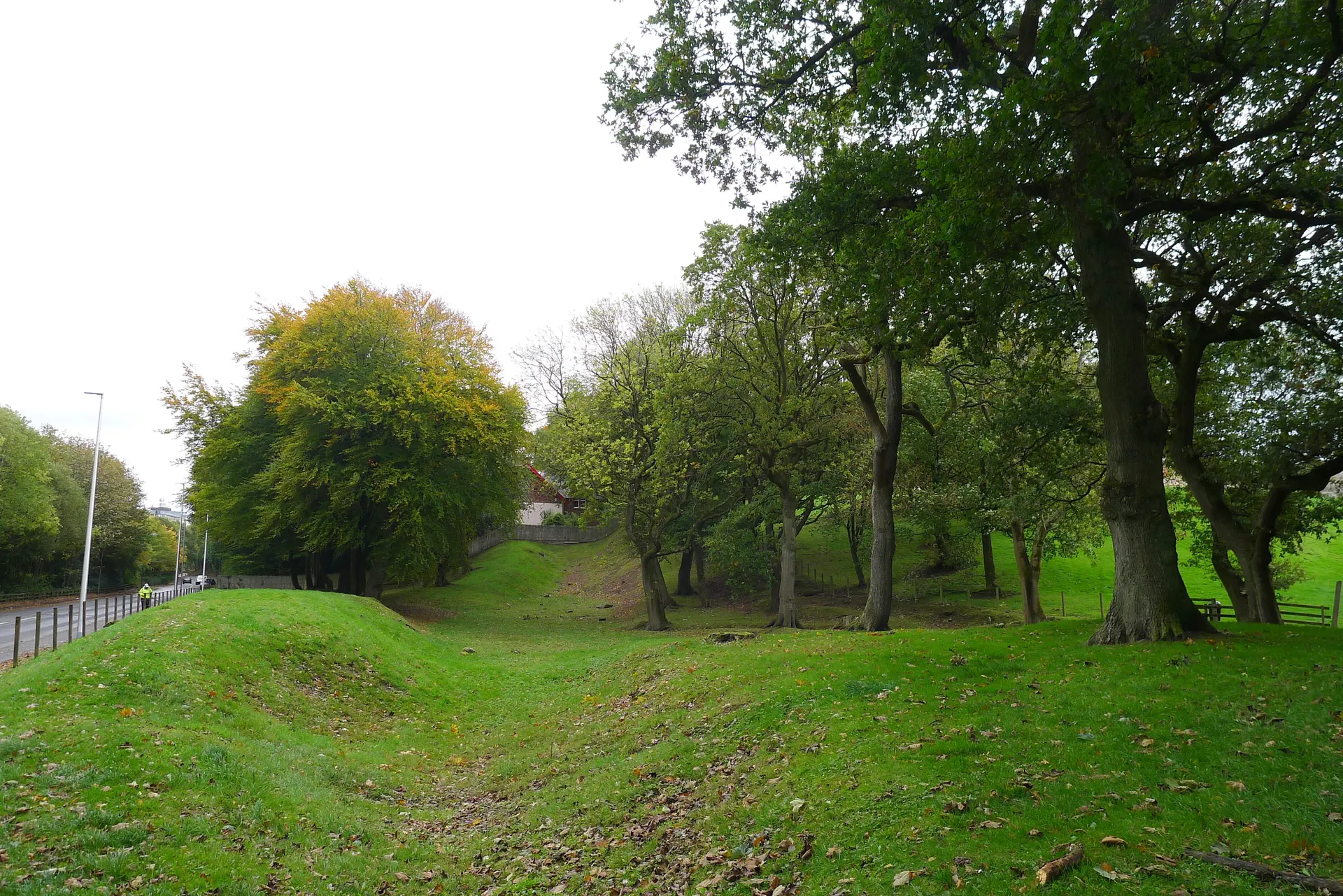
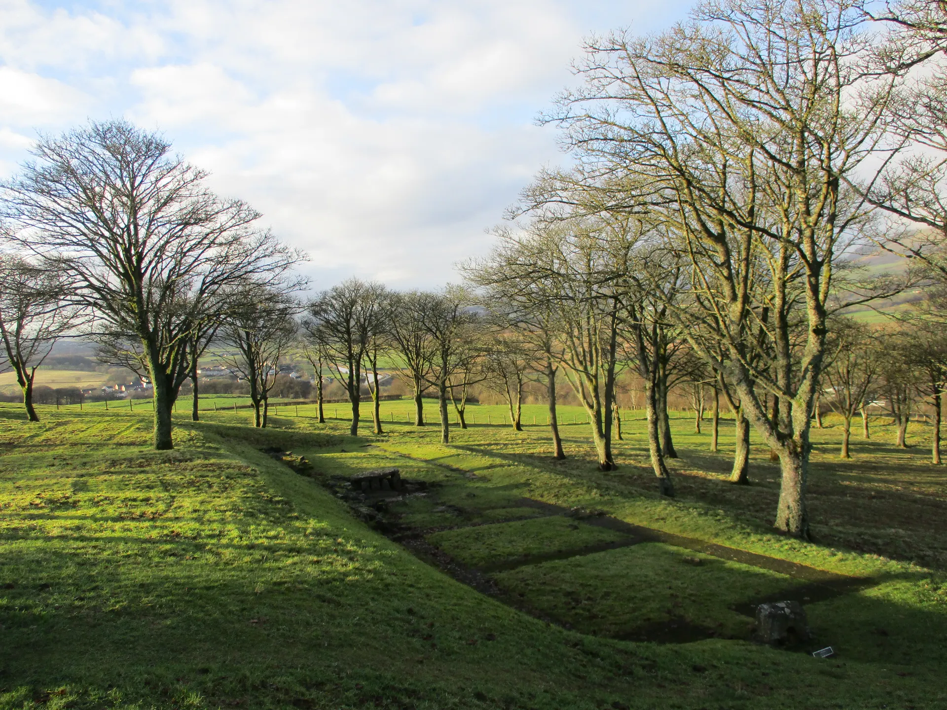
In an attractive oak wood beside the Forth and Clyde Canal, a mile west of Bonnybridge, Seabegs Wood is the best place to see the Military Way, the Roman road that linked all the forts of the Antonine Wall. It survives as a cambered mound 7 m wide with its road surface still visible, about 30 m south of the rampart. For some 400 m through the wood you can trace the whole line of the frontier: the ditch, more than 12 m wide and 2 m deep, the mound outside it, the rampart and the road. The Wall was ordered by Antoninus Pius after AD 140 and abandoned in the 160s. A Roman fortlet found in 1977 at the west end of the wood shows the Wall turning north here to take the higher ground, though nothing of it can be seen. A signposted track leads in from a kissing gate on the B816, or walk the canal towpath.
Check today’s timesSee all times
- Seabegs WoodOpen at all times; an unstaffed open woodland site, no hours published
Opening times may change at short notice.
Historic Scotland: 'Seabegs Wood is free to visit and is open year-round.' No hours, closures or notices on 21 October 2026. The Antonine Wall is part of the Frontiers of the Roman Empire World Heritage Site.
Strong footwear is recommended. The ditch, outer mound, rampart and Military Way run for about 400 m through the wood; the ground varies between paved stretches, loose surfaces and grassy fields. No toilets or other facilities.
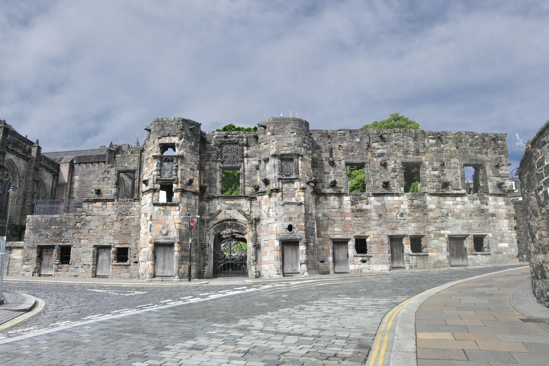
Photo: The broad grassy ditch of the Antonine Wall running between banks under oak trees in Seabegs Wood. Jim Smillie, CC BY-SA 2.0. Source: https://commons.wikimedia.org/wiki/File:Antonine_Wall,_Ditch_-_geograph.org.uk_-_7527813.jpg. Licence: https://creativecommons.org/licenses/by-sa/2.0. Resized and cropped for display; derivatives retain the source licence.
Reviews & Tips
No reviews yet
No reviews yet. Be the first to share your experience!