About
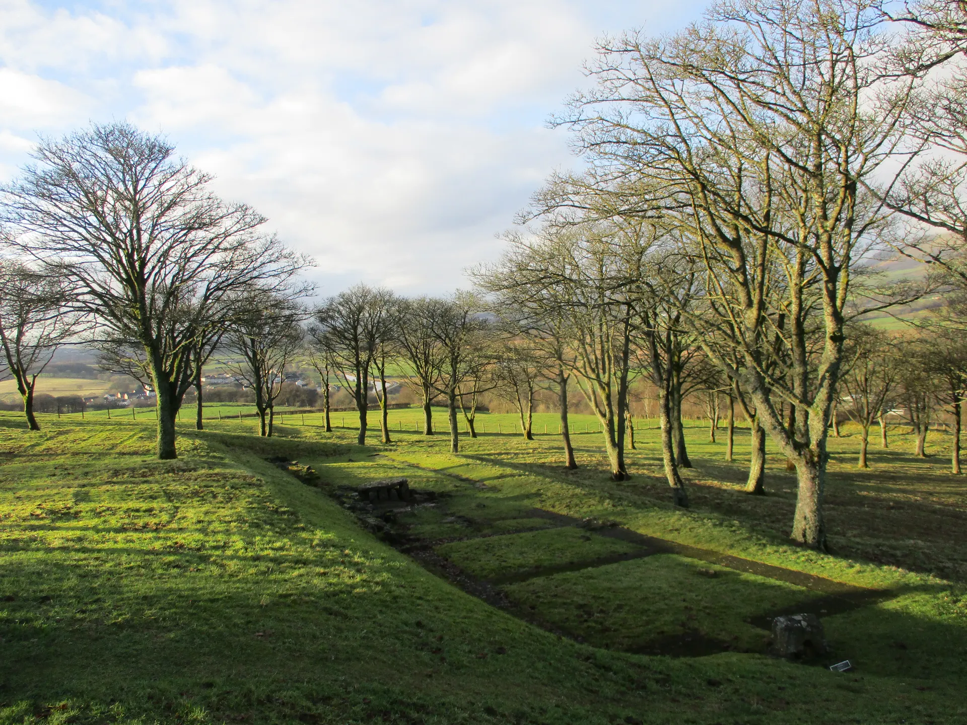
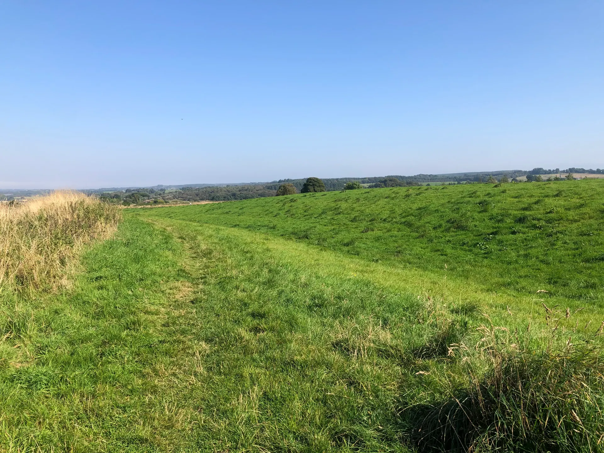
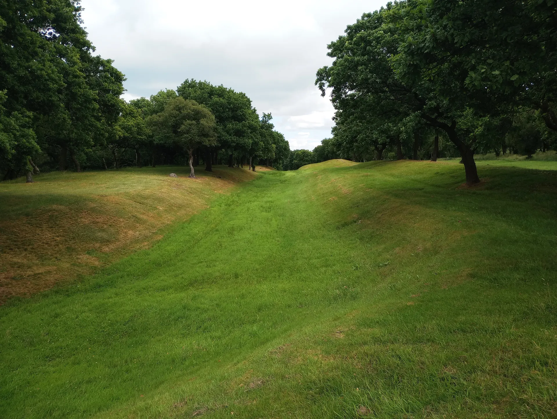
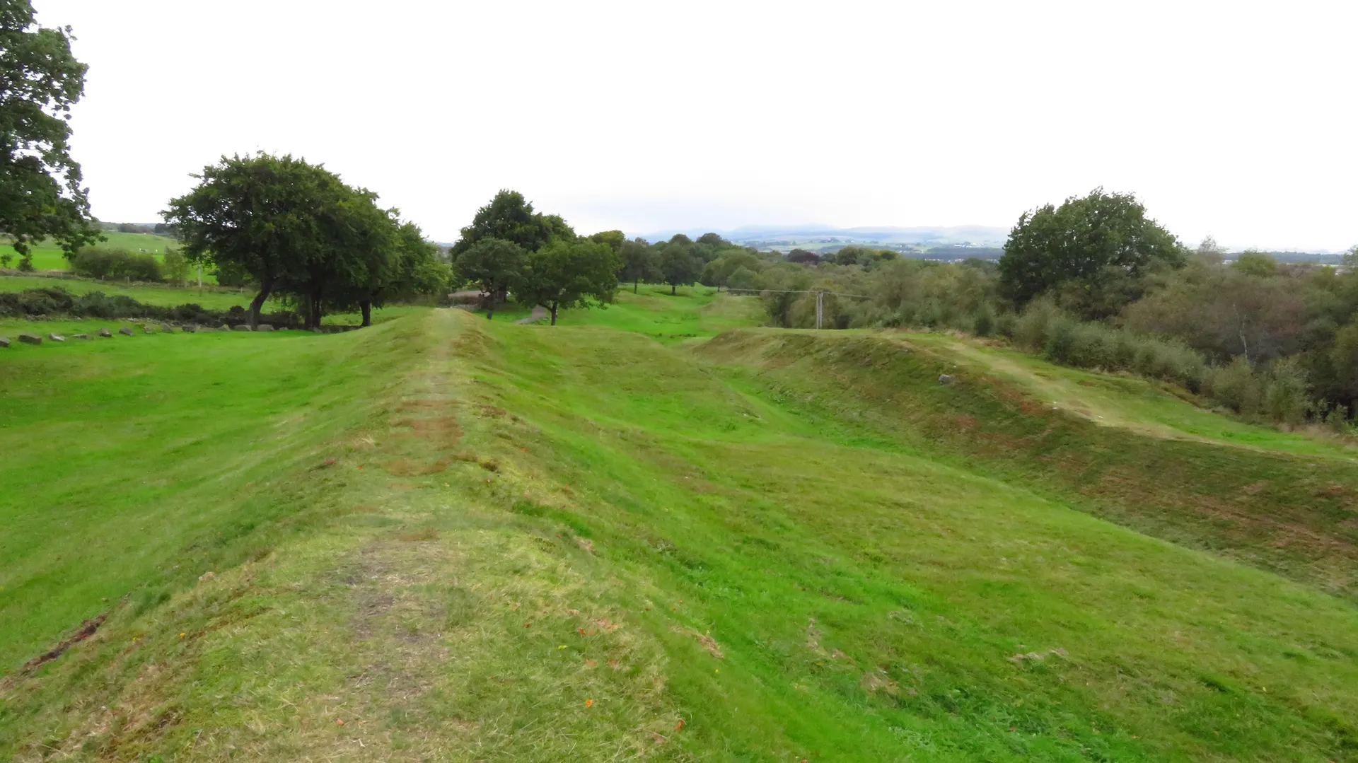
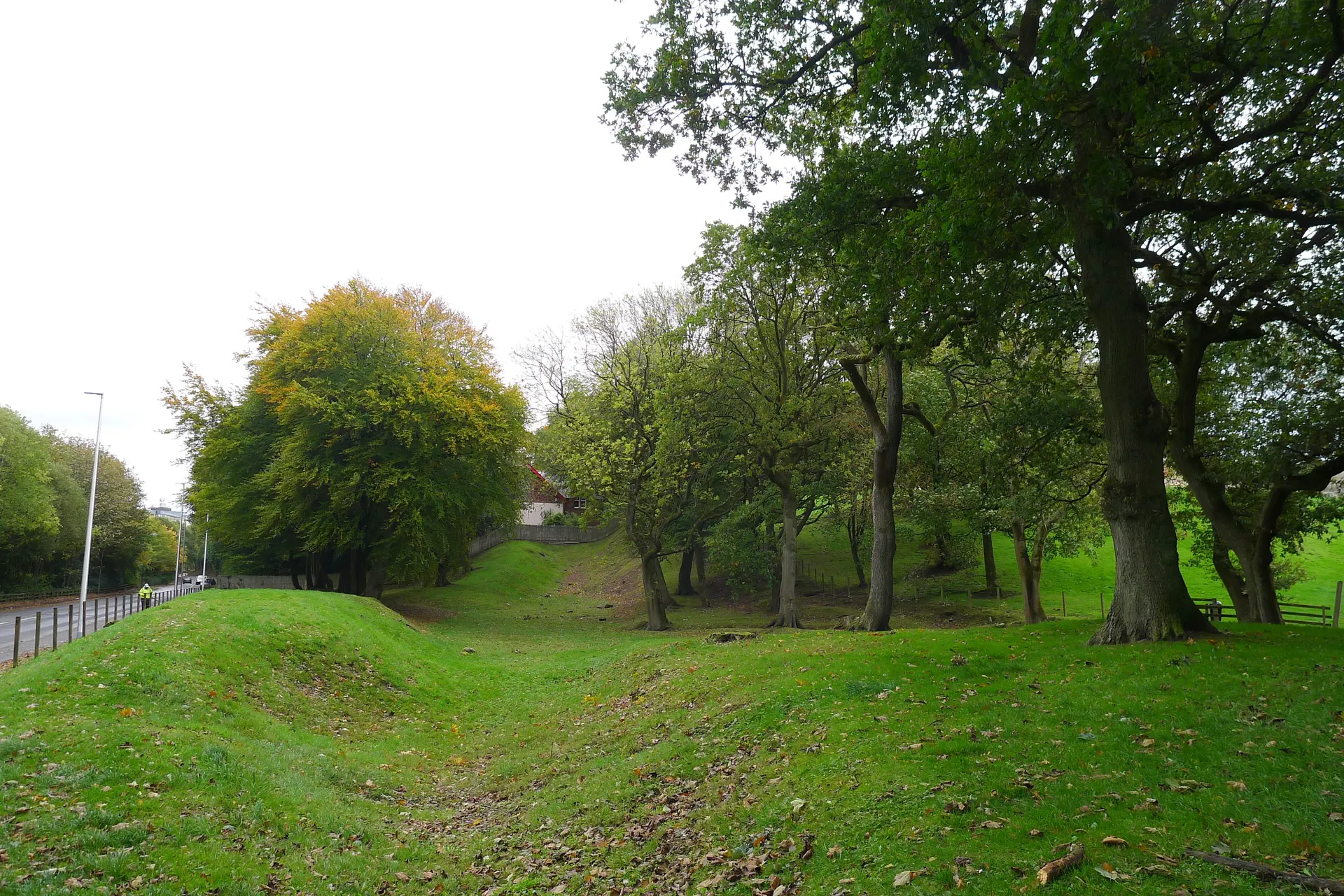
Croy Hill, between Croy and Dullatur near Kilsyth, is one of the highest points on the Antonine Wall at about 120 metres, with views east to the Firth of Forth and the hills of Fife, north to the Kilsyth Hills and west to Bar Hill. The Romans built a fort, a fortlet, a temporary camp and two raised platforms, perhaps for signalling, along this stretch, and here the Wall's ditch was cut through solid rock. In the 1700s antiquaries found the fort levelled with a hamlet on top; excavations in the 1920s and 1930s recovered its plan, about an acre and a half with a headquarters, granary, stone well and an altar to the nymphs. Today the ditch and the two platforms can be seen, but not the fort or camp. From the Auchinstarry car park it is about half a mile on farm tracks and gravel paths, steep and rocky in places.
Check today’s timesSee all times
- Croy HillOpen at all times; an unstaffed open hillside, no hours published
Opening times may change at short notice.
Historic Scotland: 'Croy Hill is free to visit and is open year-round.' No hours, closures or notices on 20 October 2026. The Antonine Wall is part of the Frontiers of the Roman Empire World Heritage Site.
Strong footwear is recommended: the paths are unpaved farm tracks and gravel, uneven, rocky and steep in places. The Wall ditch and two signalling platforms can be traced, with information markers, but the fort itself is not visible. No toilets on site; a cafe at Auchinstarry.
Photo: A grassy path along the line of the Antonine Wall on Croy Hill, with an interpretation board and wide views west. Euan Nelson, CC BY-SA 2.0. Source: https://commons.wikimedia.org/wiki/File:The_Antonine_Wall,_Croy_Hill_-_geograph.org.uk_-_4855380.jpg. Licence: https://creativecommons.org/licenses/by-sa/2.0. Resized and cropped for display; derivatives retain the source licence.
Reviews & Tips
No reviews yet
No reviews yet. Be the first to share your experience!