About
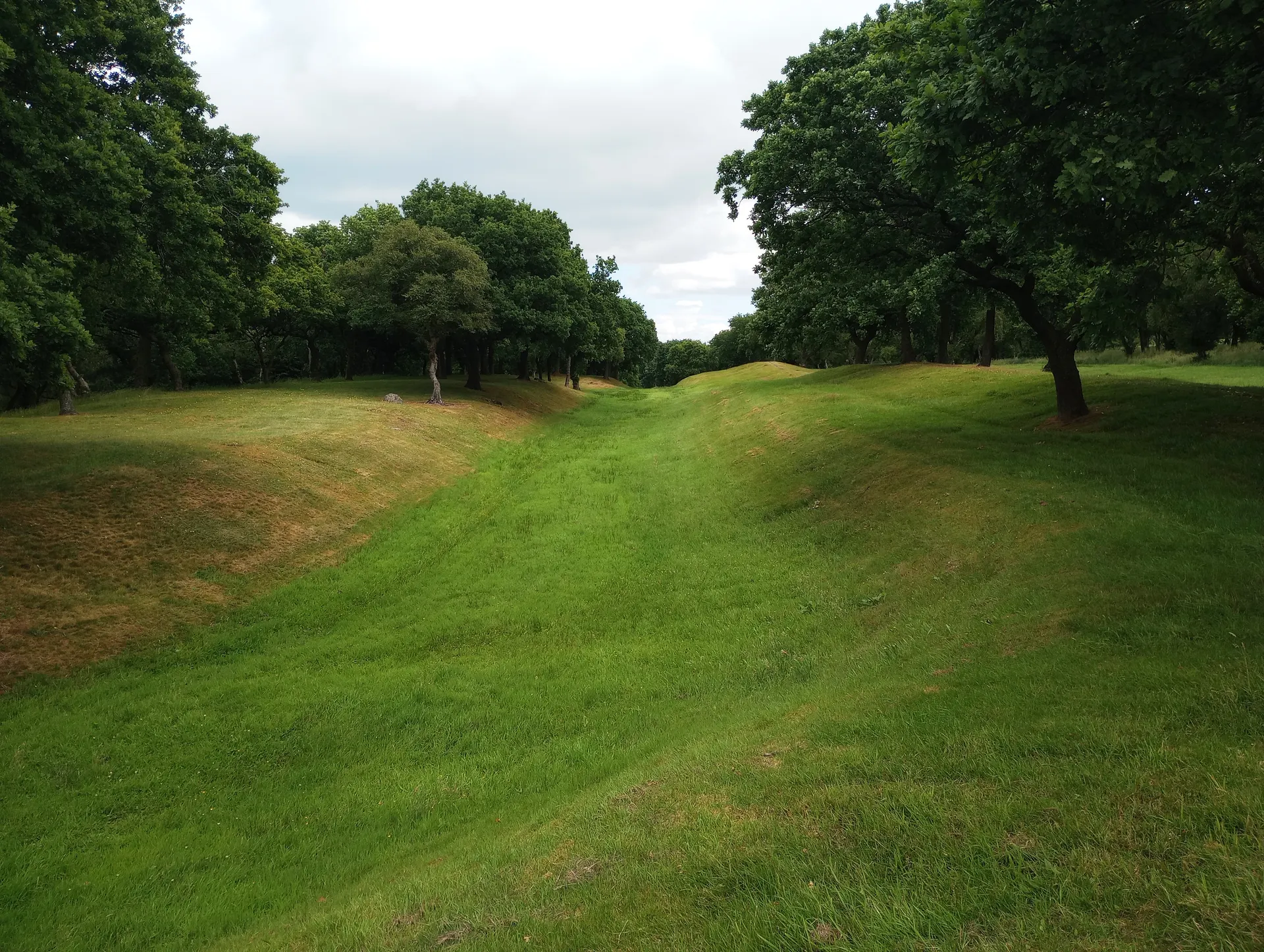
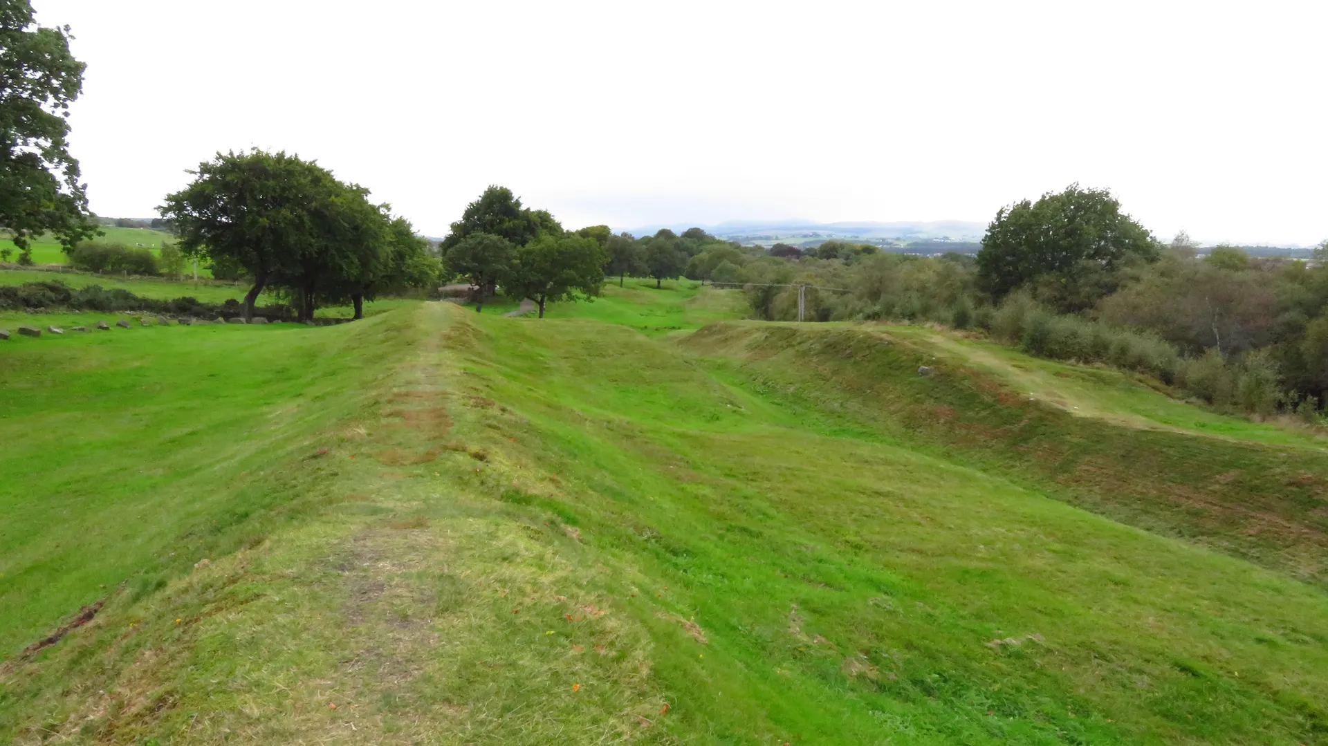
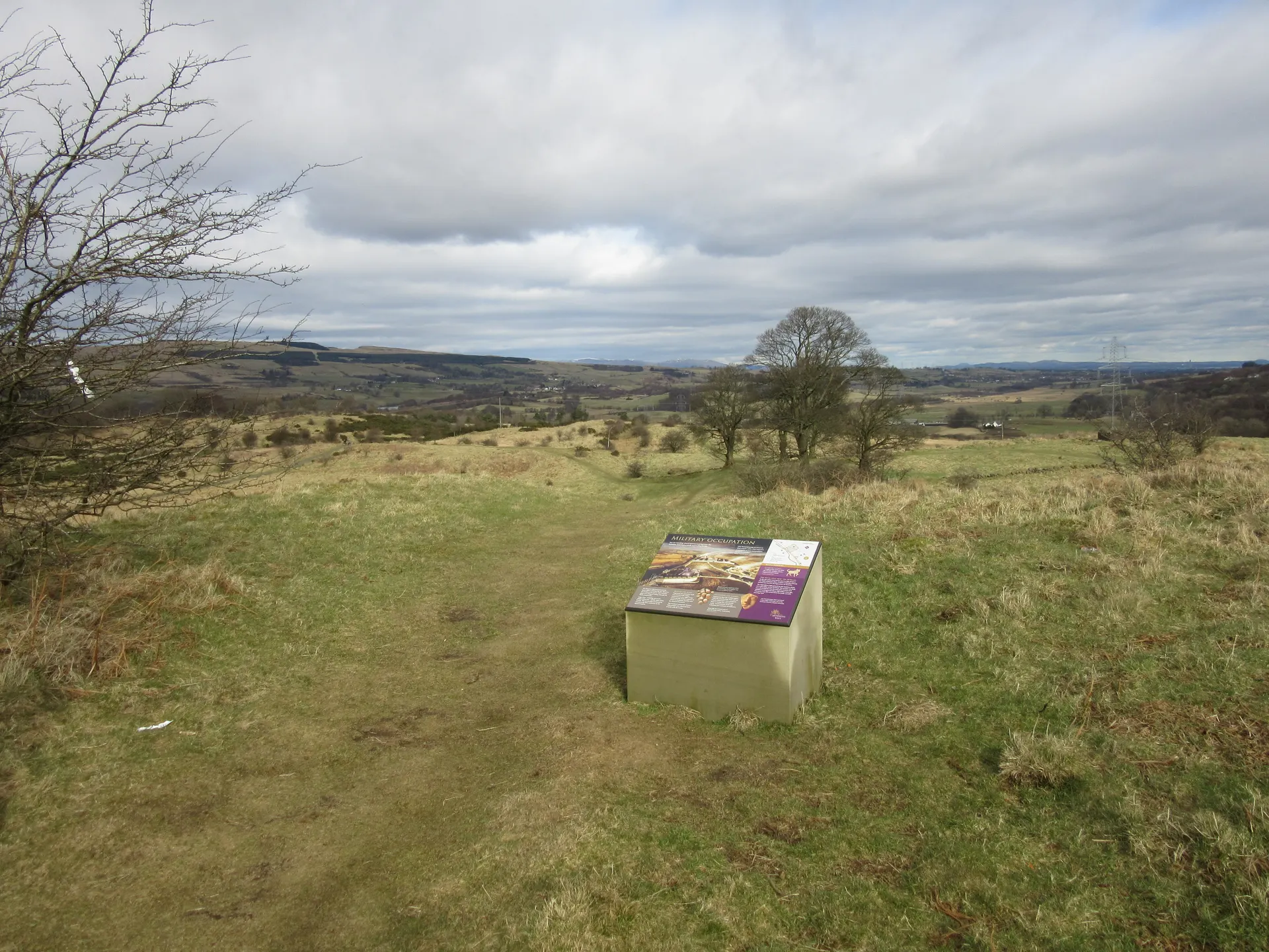
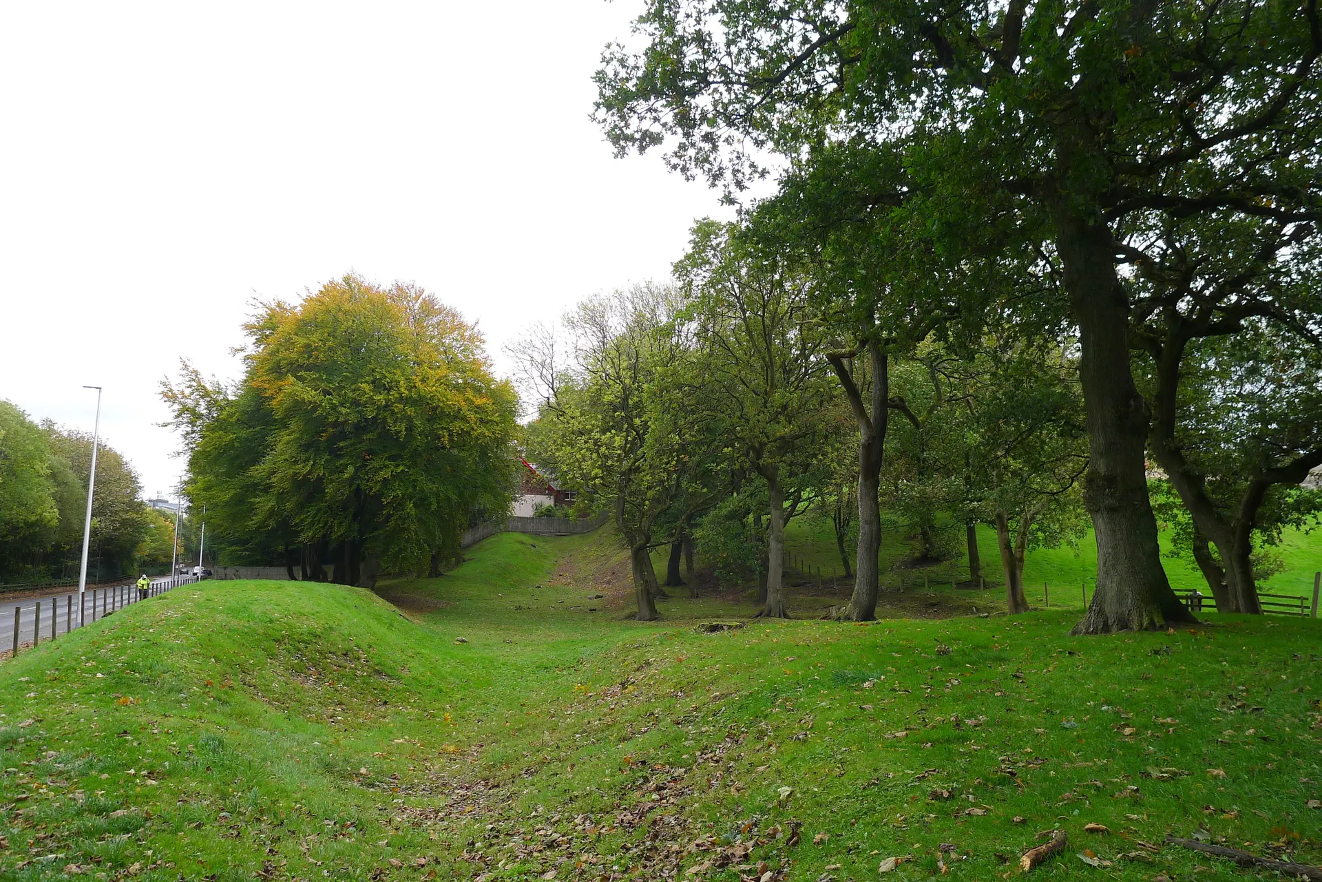
Between the Roman forts of Westerwood and Castlecary, east of Cumbernauld, runs one of the longest continuous stretches of the Antonine Wall that can still be seen. At Tollpark and Garnhall a long length of the ditch and the mound outside it survives, and the walk follows it through woodland and fields with wide views north. Along the stretch were two temporary camps, a circular enclosure and possibly a watchtower of uncertain date. Westerwood fort, one of the smallest on the Wall, lies under a farm beyond the end of Cumbernauld Airport's runway, with only faint hollows of its ditches showing. An altar found west of it, dedicated to two goddesses by Vibia Pacata, wife of a centurion of the Sixth Legion, is now in Kinneil Museum. The waymarked path starts at a kissing gate behind the Castlecary House Hotel on the B816, past two sculpted Roman soldiers; the field paths are unpaved and uneven, and the hotel's car parks are for customers.
Check today’s timesSee all times
- Westerwood to CastlecaryOpen at all times; an unstaffed stretch of earthworks in fields, no hours published
Opening times may change at short notice.
Historic Scotland: 'Antonine Wall: Westerwood to Castlecary is free to visit and is open year-round.' No hours, closures or notices on 21 October 2026. The Antonine Wall is part of the Frontiers of the Roman Empire World Heritage Site.
The waymarked path follows a long visible stretch of the Wall ditch and outer mound through fields and woodland with wide views north; the ground is unpaved and uneven. The whole walk from the hotel to the fort site at Westerwood, past the airport, a golf course and a ruined cottage, is about 2.5 miles each way; the Garnhall and Tollpark section near the hotel is much shorter. No toilets on the route.
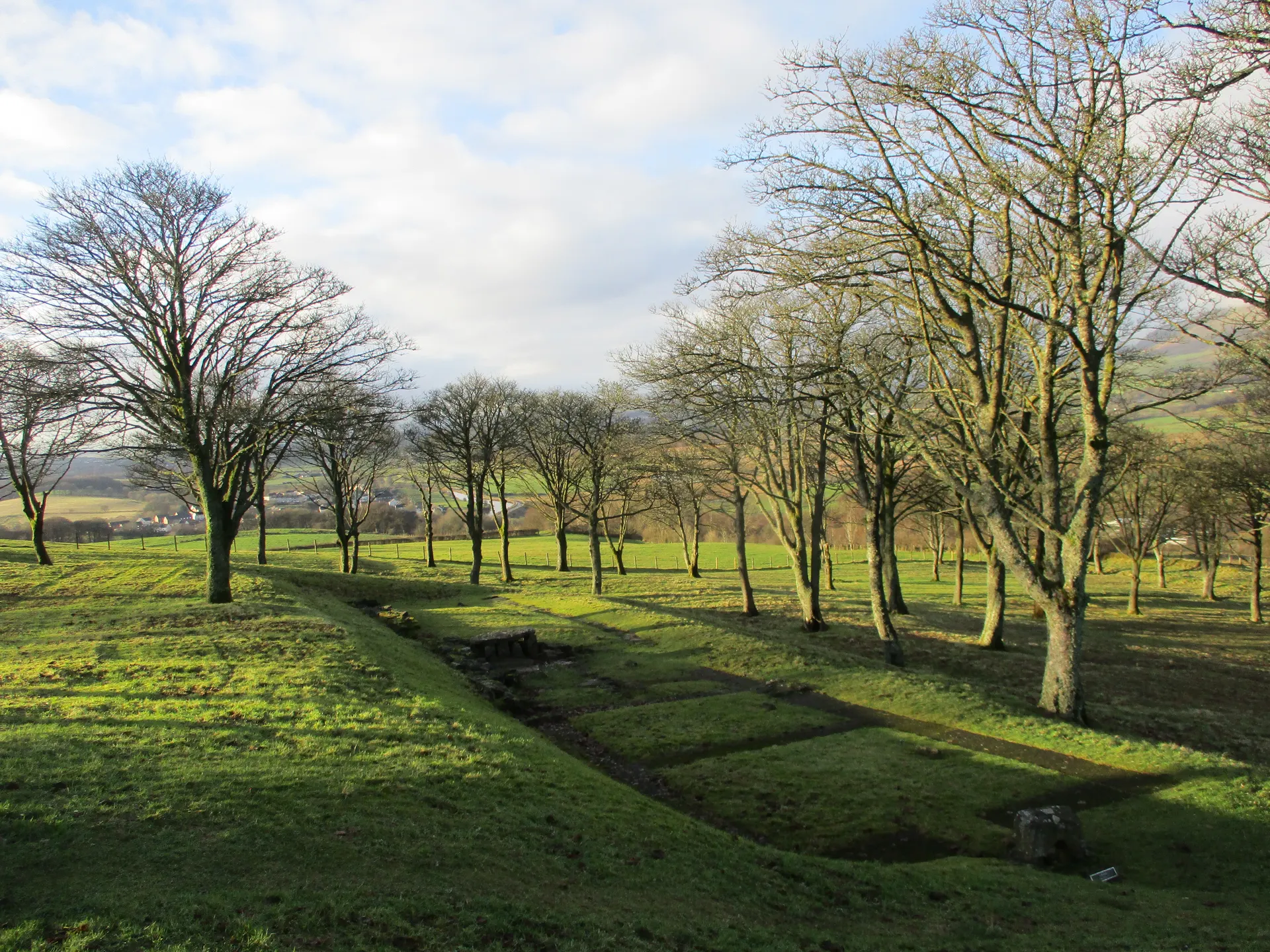
Photo: A mown path beside the long grassy mound of the Antonine Wall at Garnhall, west of Castlecary, under a clear sky. Richard Webb, CC BY-SA 2.0. Source: https://commons.wikimedia.org/wiki/File:Antonine_Wall,_Garnhall_-_geograph.org.uk_-_7872739.jpg. Licence: https://creativecommons.org/licenses/by-sa/2.0. Resized and cropped for display; derivatives retain the source licence.
Reviews & Tips
No reviews yet
No reviews yet. Be the first to share your experience!