About
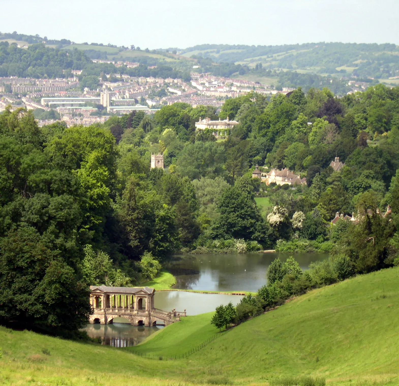
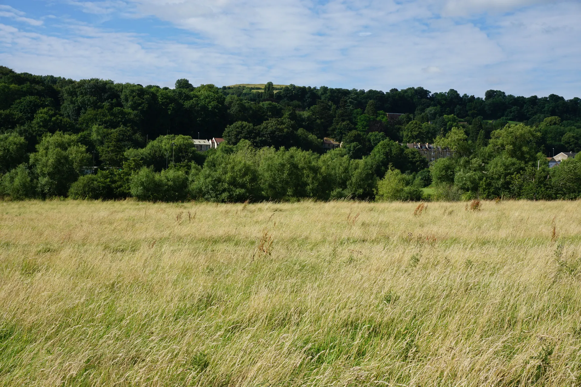
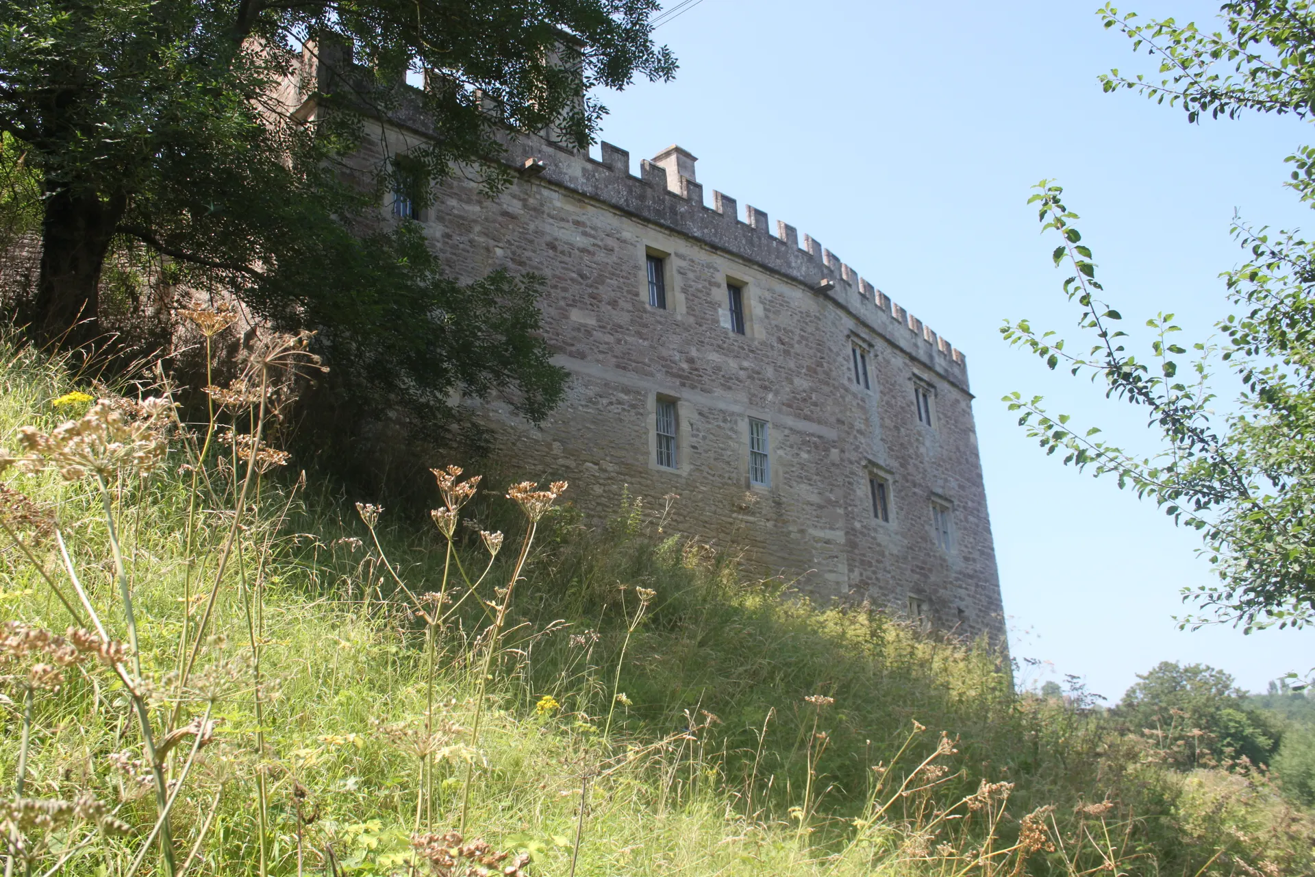
The Bath Skyline is 500 acres of National Trust meadows, beech woods and farmland on the hills south east of Bath, with a circular six-mile waymarked walk looking down on the World Heritage city from Bathwick Fields and Claverton Down. Along the way are Sham Castle, the folly built for Ralph Allen in 1762, Georgian spring markers, limestone grassland rich in flowers and butterflies, and a woodland play area with fairy doors; the Iron Age fort on Little Solsbury Hill lies apart to the north east. The accessible two-mile Family Discovery Trail suits pushchairs and wheelchairs, and the Walk to the View links Bath Abbey to the Skyline along the Kennet and Avon Canal. Reviewers find the route well signed, with the best views at the end of the clockwise loop. Tips from visitors: take the U1 or U18 bus to Cleveland Walk, and wear boots for mud and steps. Dogs are welcome under close control, on leads near livestock and in the Woodland Play Area.
Check today’s timesSee all times
- CountrysideDawn – Dusk
Opening times may change at short notice.
The National Trust calendar shows the countryside open dawn to dusk every day to 31 December 2026; the Skyline is free to access for anybody at any time.
Sheep and cattle graze areas of the Skyline; keep dogs on a lead in any field with livestock. Richens Orchard is closed to walkers when sheep are grazing, with a diversion.
No allocated car park and no National Trust toilets or cafe; there are refreshment stops nearby that are not National Trust. The full walk has steep hills, a rocky uneven section, steps and a stile, with access by gate or stile; the Family Discovery Trail around Claverton Down is the accessible two-mile route.
Dogs are welcome under close effective control, on leads around grazing animals and farmland and through Larch Wood and the Woodland Play Area; bins and dog waste bins are placed near the walk.
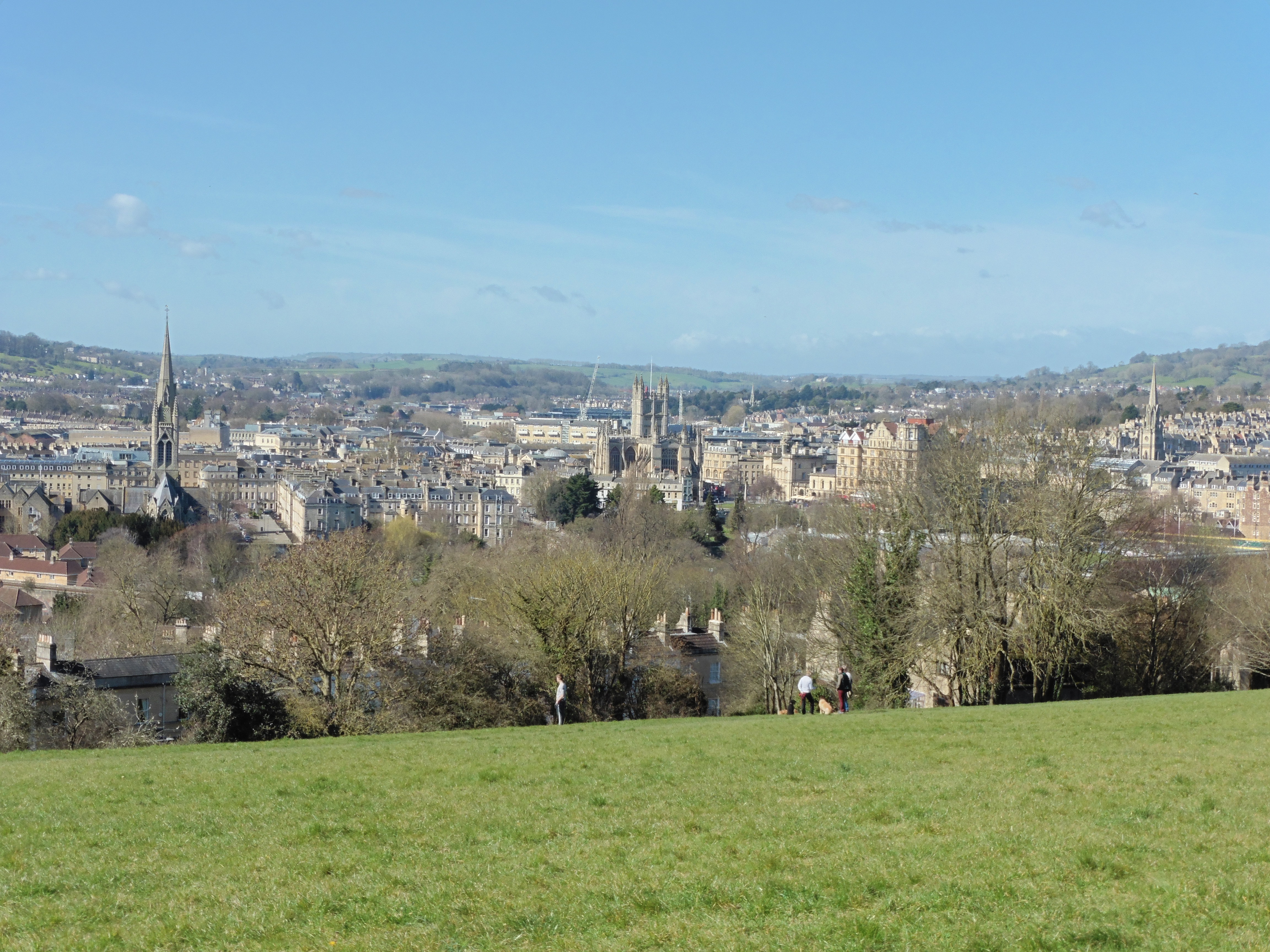
Photo: View from the Bath Skyline walk near Bathwick Hill, looking over the city to Bath Abbey. Dave Kelly, CC BY-SA 2.0. Source: https://commons.wikimedia.org/wiki/File:View_from_Bath_Skyline_walk_near_Bathwick_Hill_-_geograph.org.uk_-_4877693.jpg. Licence: https://creativecommons.org/licenses/by-sa/2.0. Resized and cropped for display; derivatives retain the source licence.
Dogs at the location: Allowed. Dogs are welcome across the Skyline all year under close effective control; it is a one pawprint rated place with limited facilities.
Dog walks in the grounds: Allowed with restrictions. Dogs may walk the whole Skyline route but must be under close control, on a lead in fields with sheep or cattle, around Rainbow Wood Farm and through Larch Wood and the Woodland Play Area; Richens Orchard closes to walkers when sheep graze. Free access, no ticket needed.
Leads: Close effective control everywhere; short lead near sheep; on leads in grazed fields, around farmland and through Larch Wood and the Woodland Play Area; let the dog off if cattle approach.
Seasonal dog restrictions: Richens Orchard is closed to walkers while sheep graze there, with a diversion; otherwise none stated.
Reviews & Tips
No reviews yet
No reviews yet. Be the first to share your experience!
Pins
No pin photos yet
Walking routes3 routes
Bath Skyline walk(opens the full route on the National Trust site)
WalkmoderateDogs, with restrictions9.6 km distance