HomeExplorePlacesPassportSign in
National Trust

Brean Down

Coast·Somerset·4.4

See prices
Non-member
—
Members
4.4
591
Daylight
See times
Website
Directions
PricingEntry prices and admission details
ParkingFree for members

Non-members pay at the car park.

JustPark location code
896467

Enter this code in JustPark to pay, or at the machine. Members park free after checking in.

Open JustParkjustpark.comPay by phone07520 634455
CoastWalking routesOne pawprint

About

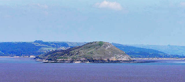
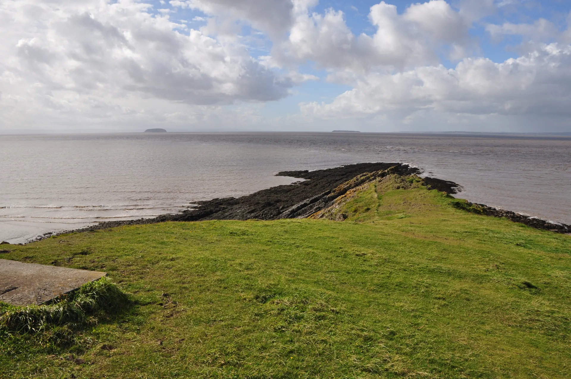
Brean Down is a limestone headland reaching 1.5 miles into the Bristol Channel near Weston-super-Mare, rising to 97 metres with views to south Wales and over the Somerset Levels. Used since around 10,000 BC, it holds the remains of a Roman temple on its south side, and the Palmerston fort at the tip, built in the 1860s against a French invasion that never came and used again in the Second World War, is now a ruin to explore. Dogs on leads are welcome throughout, with a beach, cafe and toilets at the bottom. Reviewers single out the views and the abandoned military buildings. One tip from regular visitors: the steps to the top are a hard climb; the old military road is a longer but gentler route to the fort. The Trust warns that the cliffs are extremely steep and low-tide mud is dangerous, and asks members to register their card at the machine or on the JustPark app so parking is free.
Open in daylightPick a day for times and prices

The café will be closed on Saturday 24 and Sunday 25 October due to high winds. Please check for updates before visiting. Apologies for any inconvenience.

October 2026

MoTuWeThFrSaSu

Today, Monday 26 October

  • CoastlineDawn – Dusk
  • Café10:00 – 16:00
  • Car park05:00 – 19:00

Reviews & Tips

No reviews yet

No reviews yet. Be the first to share your experience!

Passport stamp

1 stamp shared

Pins

No pin photos yet

Walking routes1 route
Brean Down coastal walk(opens the full route on the National Trust site)
4.8 km distance·50m–1hr10 to walkmoderate

Dogs, with restrictions

Starts and ends at Cove Café (grid ref ST296588); circular route out to the fort and back. 3 miles/4.8km, 50 minutes to 1 hour 10 minutes, moderate, steep at first with steps (an alternative gentler accessible route via the military road exists); pay-and-display car park at Cove Café.

Nearby

Sand Point

5.1 mi

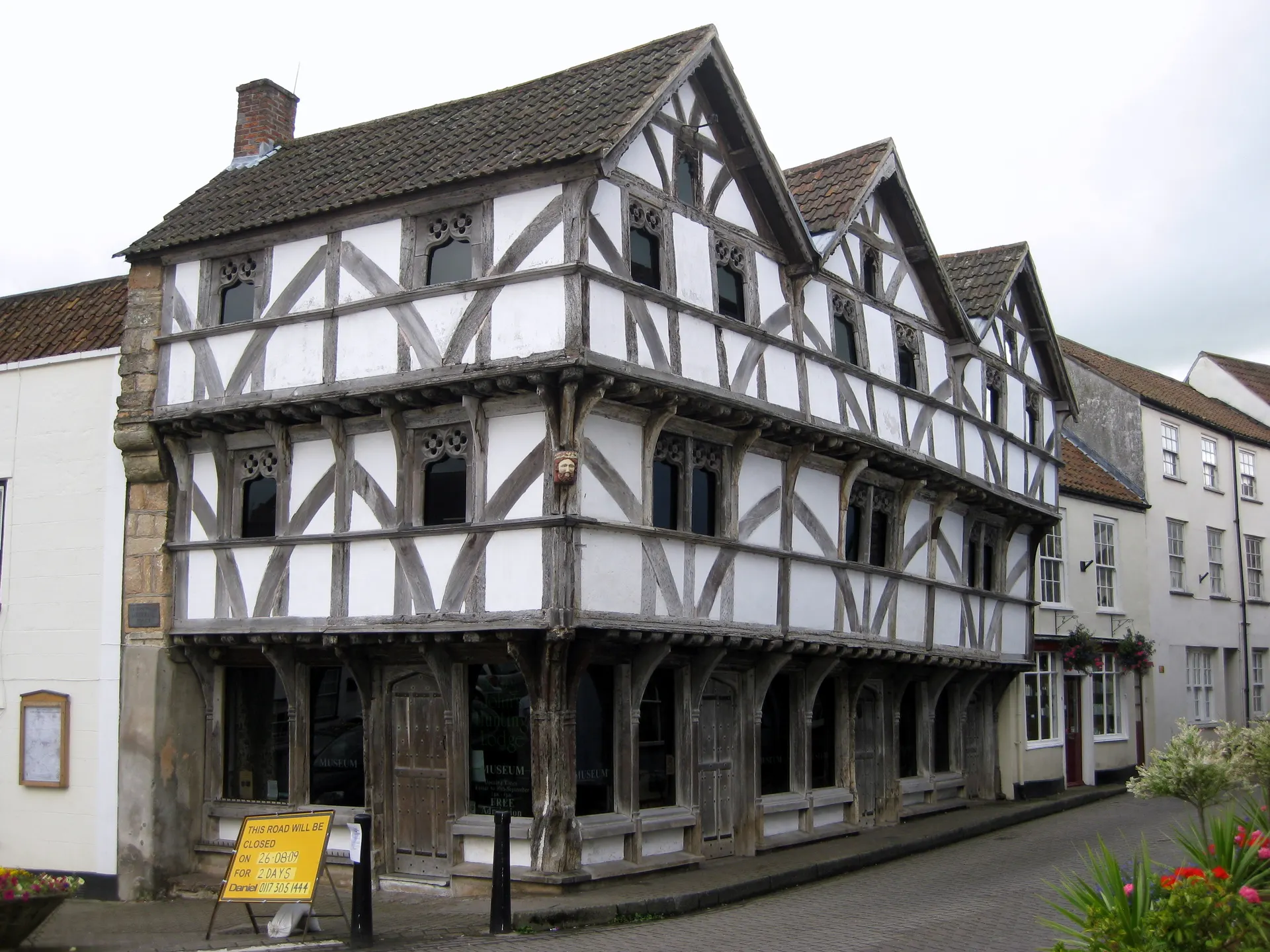
King John's Hunting Lodge

8.7 mi

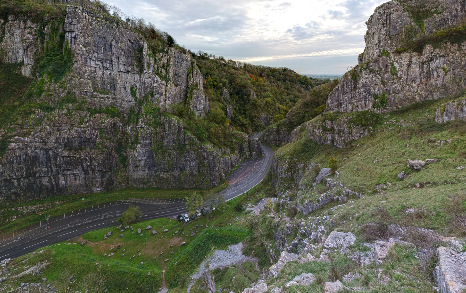
Cheddar Gorge

10.8 mi

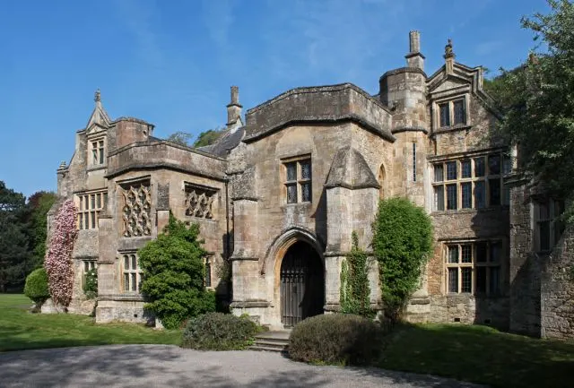
Clevedon Court

11.2 mi

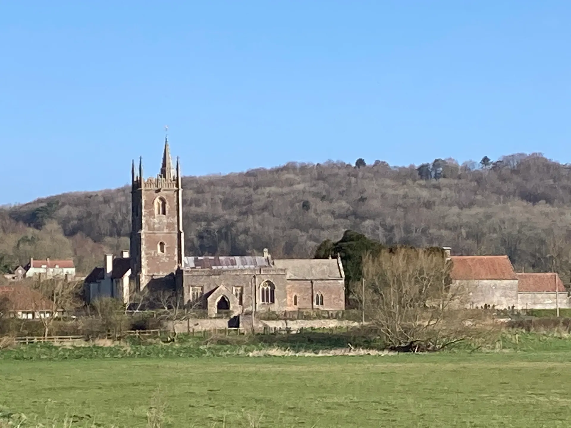
Cadbury Camp

13.0 mi

Coleridge Cottage

13.3 mi

Meare Fish House

14.4 mi

St Lythans Chambered Tomb

14.8 mi