About
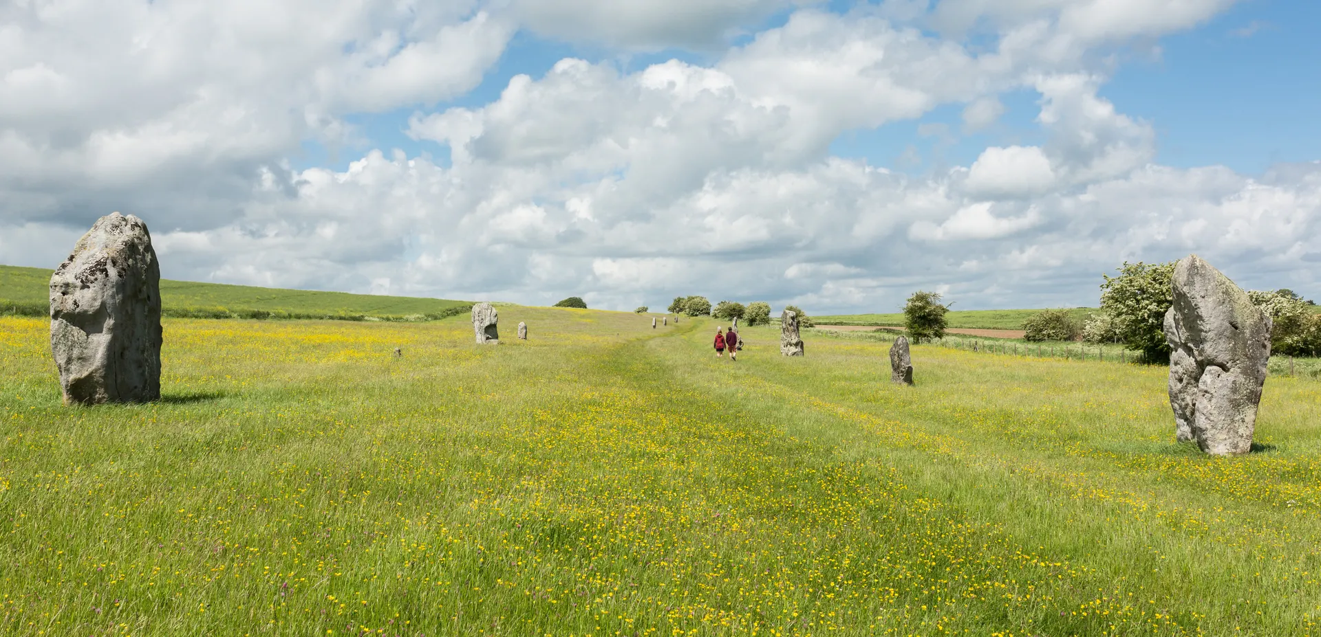
Lockeridge Dene and Piggledene are two sheltered dry valleys near Marlborough filled with 'boulder streams' of sarsen stones, the remains of a sandstone layer that once capped the chalk and was broken up during the last ice age. Bought in 1908 after a public appeal, they were the National Trust's first countryside properties in Wiltshire, saved at a time when sarsens were being cleft for building stone. The grey boulders carry rare lichens and mosses, with orchids on the banks, meadow saxifrage between the stones and wind-bent hawthorns, oaks and ash along the valley floors, and rare White Park cattle graze the site for conservation. Reviewers find the stones huge and the fields quiet, with children enjoying clambering over them, and recommend the thatched village of Lockeridge and its pub. Tips from visitors: there is no car park, so park considerately on the lane by the entrance gate, and a small playground sits opposite. Footpaths run to Piggledene from the Ridgeway east of Avebury and to Lockeridge from West Woods.
Check today’s timesSee all times
- CountrysideDawn to dusk
Opening times may change at short notice.
The National Trust calendar shows the countryside fully open dawn to dusk every day through 31 December 2026.
Pathways and open spaces with long tussocky grass and large boulders, uneven ground and steep valley sides; stiles at the access points. No toilets or other facilities on site.
Cattle graze the valleys; the Trust's page does not state a dog policy, so check signs on arrival.
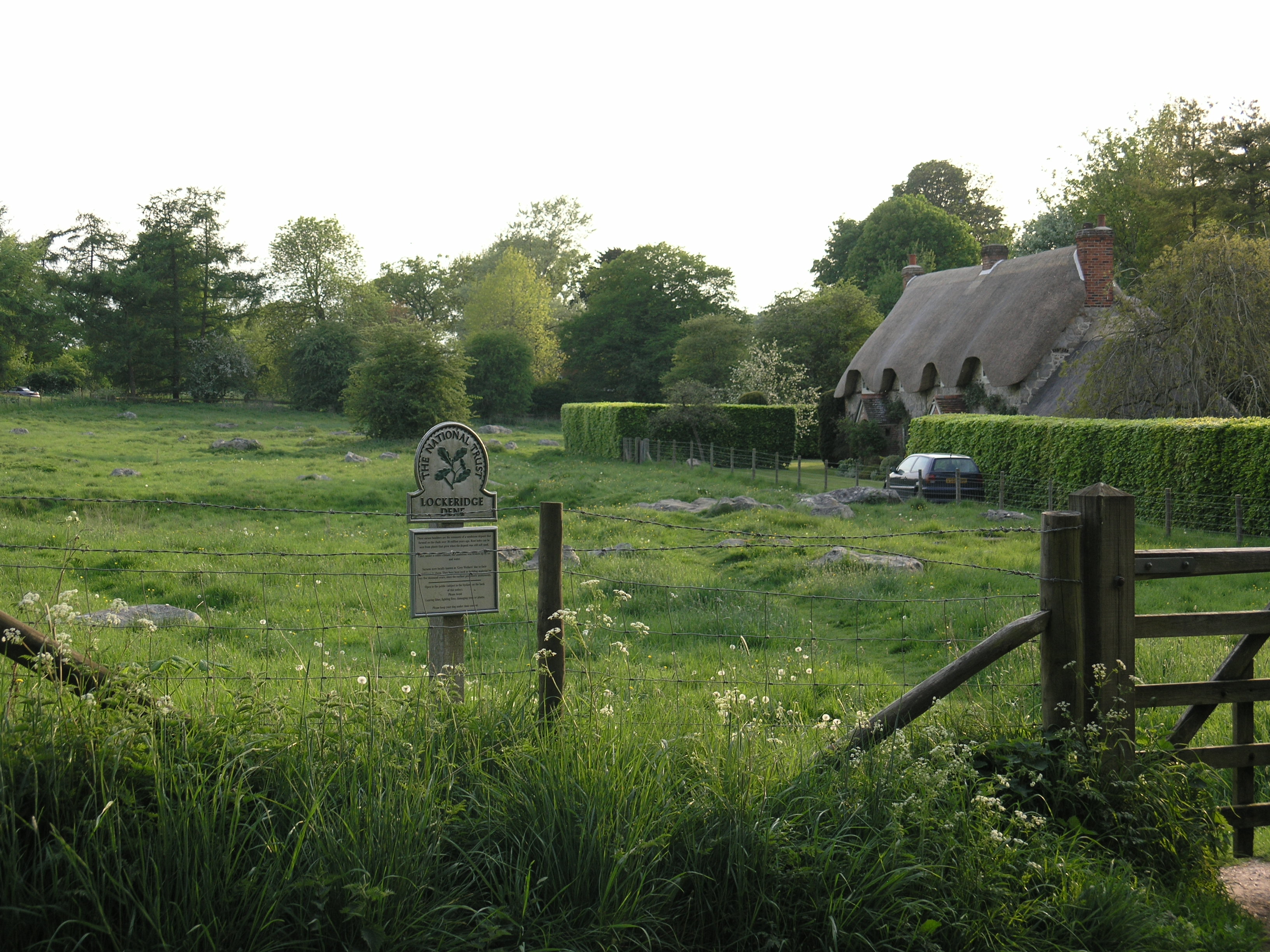
Photo: the National Trust sign at Lockeridge Dene with sarsen stones in the meadow and a thatched cottage behind. David Snowden (Snowded), CC BY-SA 3.0. Source: https://commons.wikimedia.org/wiki/File:Lockeridge_Dean.JPG. Licence: https://creativecommons.org/licenses/by-sa/3.0. Resized and cropped for display; derivatives retain the source licence.
Reviews & Tips
No reviews yet
No reviews yet. Be the first to share your experience!
Pins
No pin photos yet
Walking routes1 route
Footpaths from the Ridgeway and West Woods(opens the full route on the National Trust site)
WalkDog access not confirmed