About
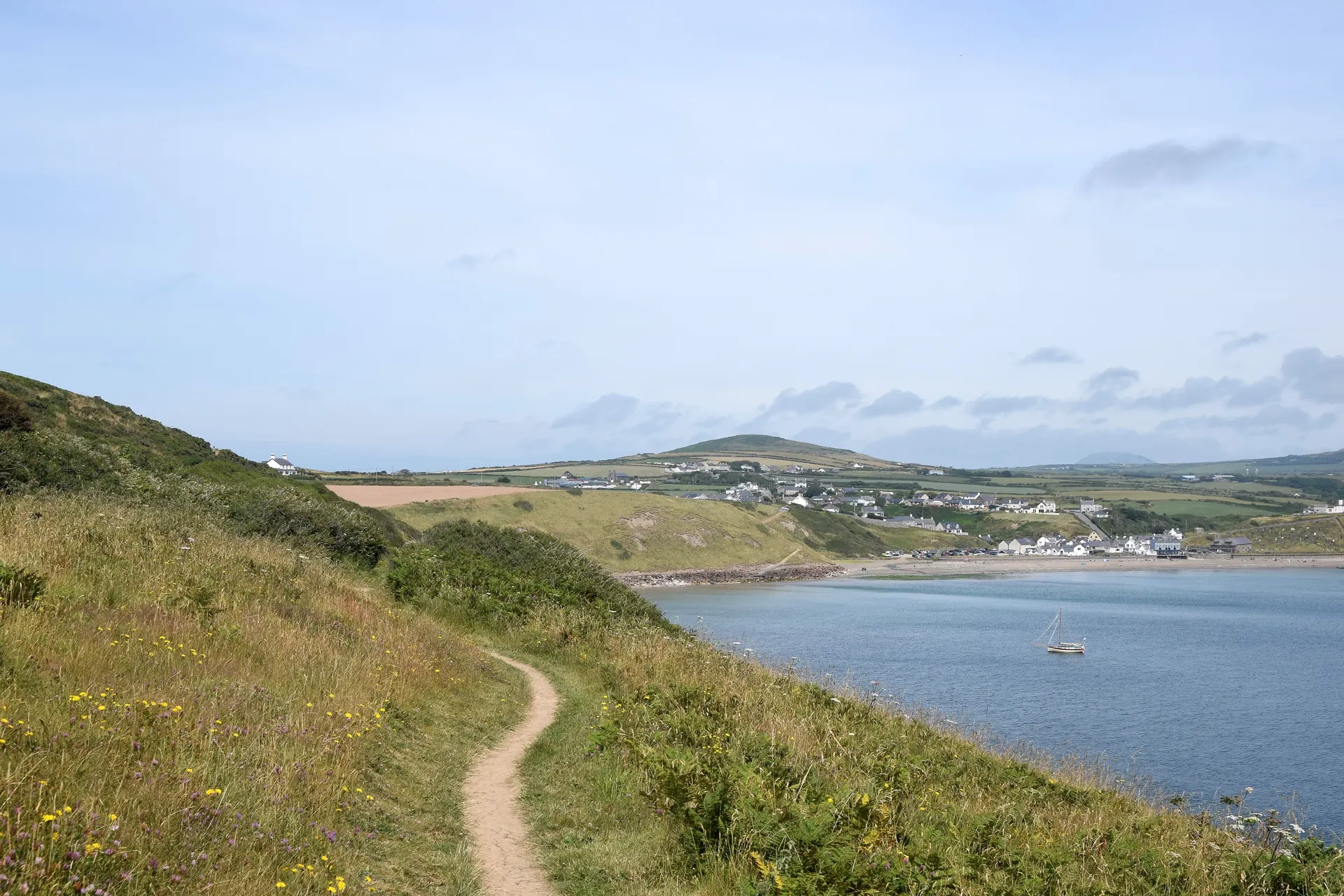
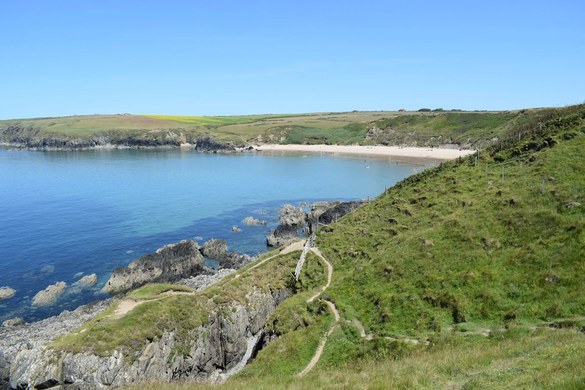
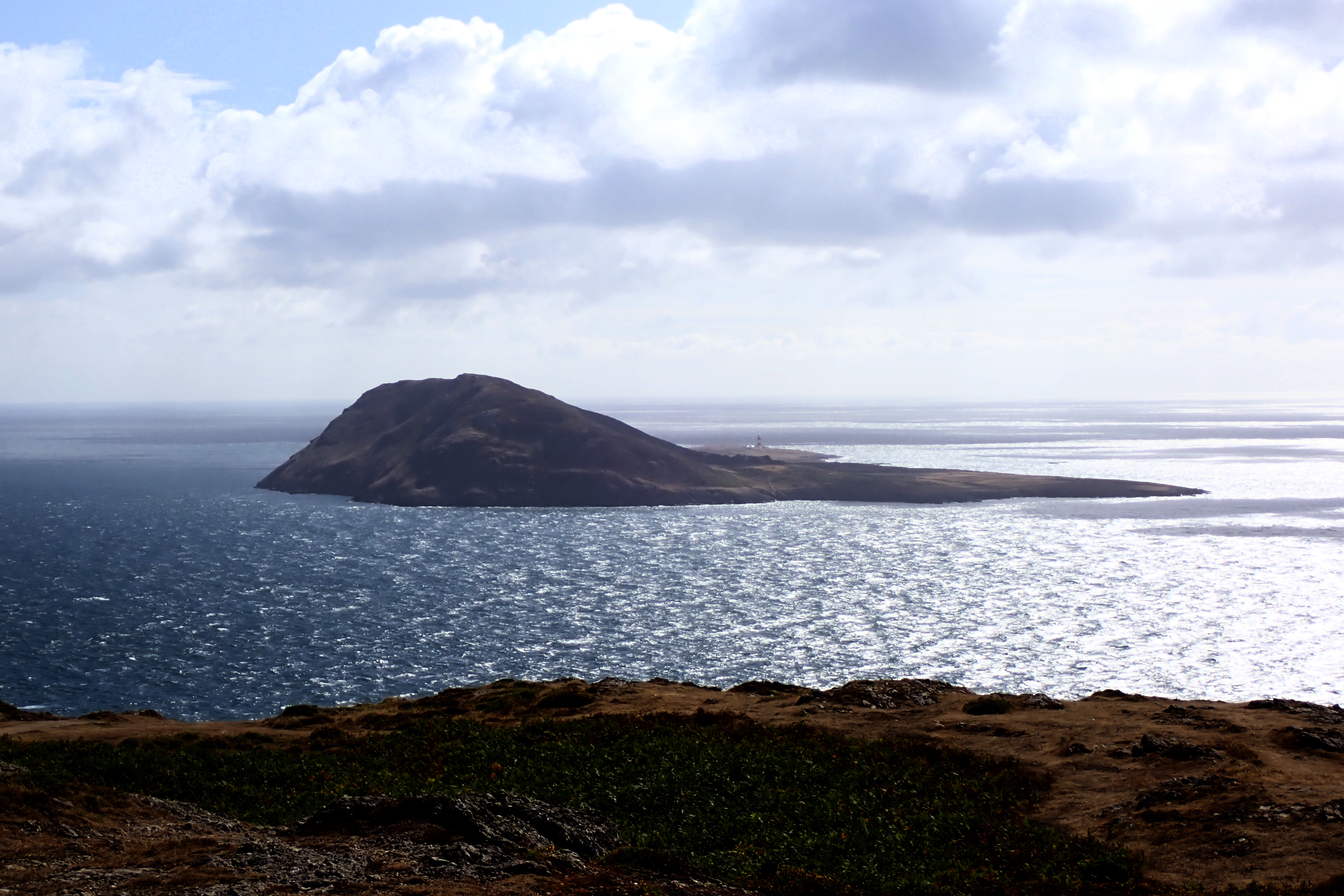
Mynydd Mawr and Braich y Pwll form the westernmost tip of the Llŷn Peninsula beyond Aberdaron, the best mainland viewpoint for Ynys Enlli (Bardsey Island) across the treacherous tides of Bardsey Sound. A concrete road climbs to a former coastguard hut on the summit, with views of Llŷn, Eryri and, on clear days, the Preseli hills and Wicklow in Ireland. In the Second World War the hill was a signal station housing around 70 RAF personnel. Choughs dive and swoop along the cliffs, the headland of Braich y Pwll is the only place in mainland Britain where the spotted rock rose grows, flowering between June and August, and rare golden hair lichen clings to the rocks. Reviewers describe 360-degree panoramas and a fine walk down to the point. Livestock graze here, so dogs must be kept on leads at all times. The two-mile circular trail starts from the lower parking area and follows the Wales Coast Path before turning inland beside a brook.
Check today’s timesSee all times
- CoastlineDawn to dusk
Opening times may change at short notice.
Open coastal headland from dawn to dusk every day; the Trust's calendar shows every day to 31 December 2026 fully open.
No toilets or other facilities. A concrete road leads from the bottom of the hill to the top car park with views from both points; from the top the terrain is uneven with steps and rocky crags beside the coastguard hut.
Livestock graze the headland, so dogs must be kept on leads at all times.
Photo: Ynys Enlli (Bardsey Island) across Bardsey Sound from the summit of Mynydd Mawr. Phil Brandon Hunter, CC BY-SA 2.0. Source: https://commons.wikimedia.org/wiki/File:Ynys_Enlli_(Bardsey_Island)_-_geograph.org.uk_-_8395915.jpg. Licence: https://creativecommons.org/licenses/by-sa/2.0. Resized and cropped for display; derivatives retain the source licence.
Dogs at the location: Allowed with restrictions. Dogs are allowed across the headland but must be kept on leads at all times because livestock graze.
Dog walks in the grounds: Allowed with restrictions. Dogs on leads on the circular walk and the coast path over the headland. Free access, no ticket needed.
Leads: On leads at all times; livestock graze the headland.
Reviews & Tips
No reviews yet
No reviews yet. Be the first to share your experience!
Pins
No pin photos yet
Walking routes2 routes
Mynydd Mawr a Braich y Pwll circular walk(opens the full route on the National Trust site)
WalkmoderateDogs, with restrictions