About
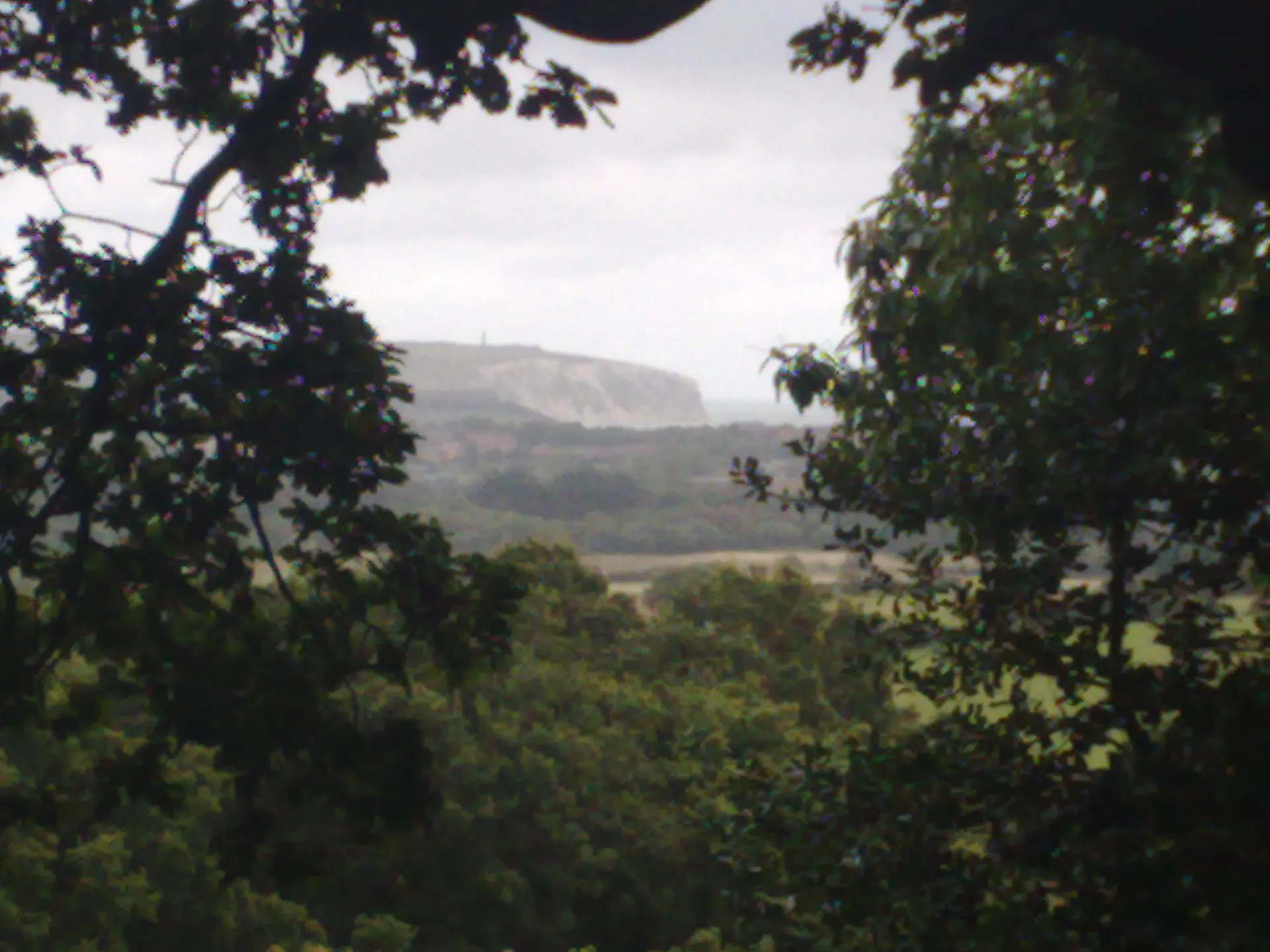
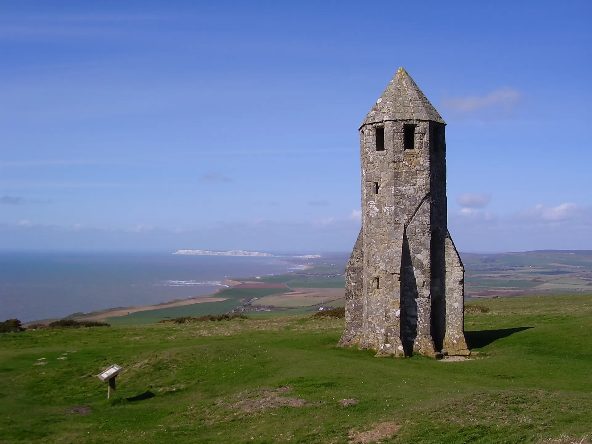
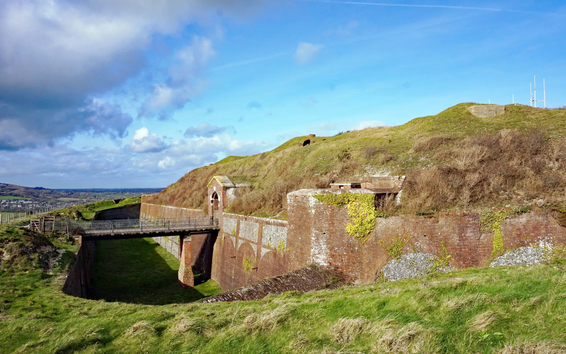
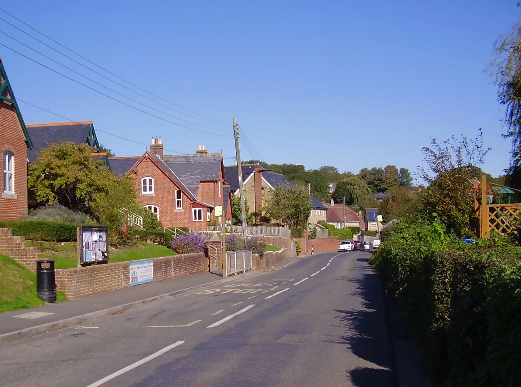
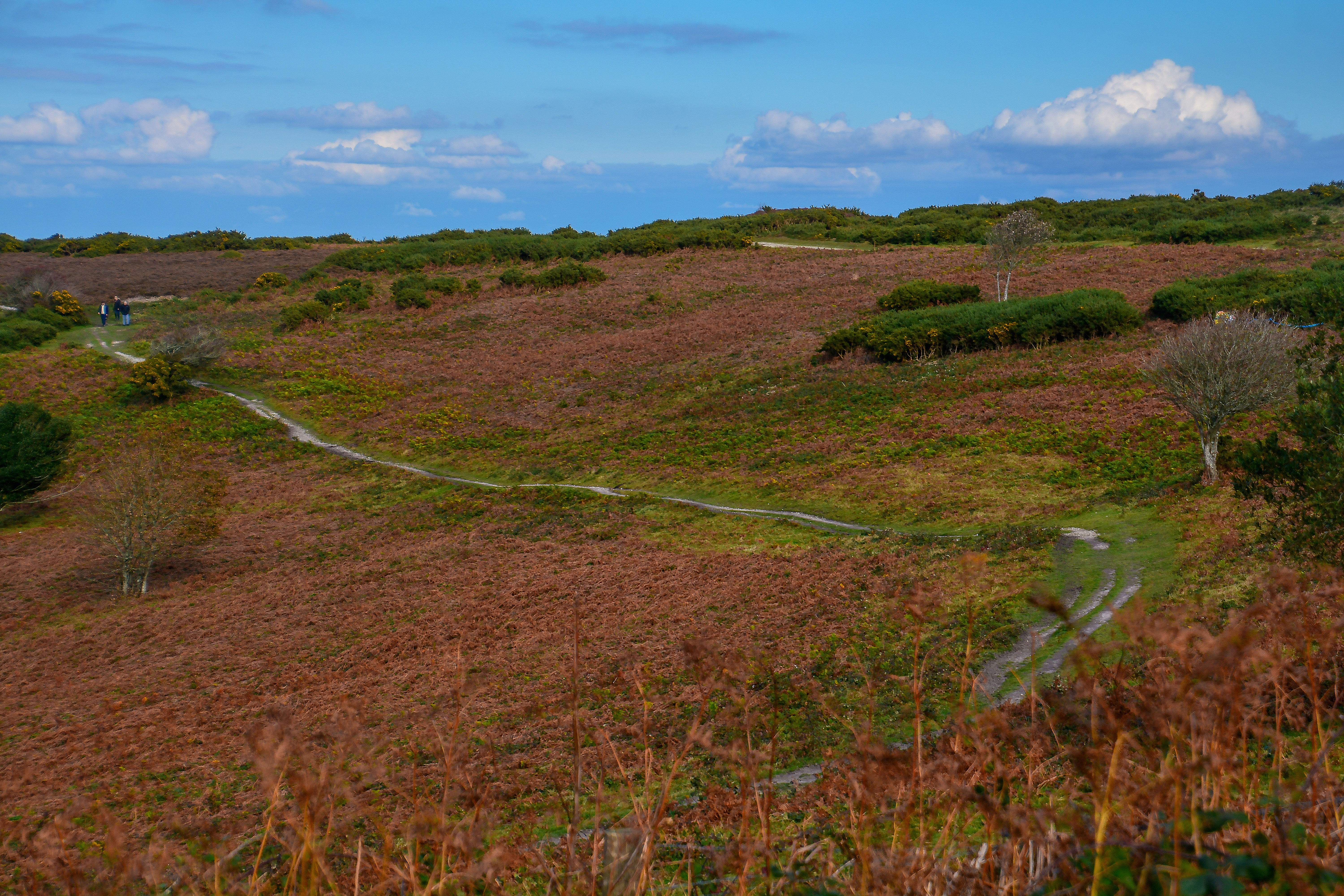
Ventnor Downs rise steeply behind the Victorian seaside town to the highest point on the Isle of Wight, where holm oaks have spread over the south-facing chalk slopes and give the view down to the Channel an almost Mediterranean feel. The tops are open grass and heather, with skylarks and meadow pipits nesting in spring and a herd of Old English goats, introduced in 1993, browsing back scrub on Bonchurch Down and Coombe Bottom. History is close at hand: a Bronze Age barrow cemetery, the fenced radar station that was RAF Ventnor from 1937, the pistol butts of the Isle of Wight Rifles' range in Coombe Bottom, and a car park plaque to a Channel Airways Dakota that crashed here in fog in 1962. Reviewers single out the sweeping views but warn that Down Lane is steep, narrow and single track. Two short, challenging National Trust trails start from the car park. Dogs are welcome, on a short lead near livestock and nesting birds.
Check today’s timesSee all times
- CountrysideDawn to dusk
Opening times may change at short notice.
Countryside open dawn to dusk on NT's calendar.
Some level paths at the top of the downs; elsewhere steep slopes, some with loose stones, stiles, kissing gates and steps. Can be slippery and muddy when wet, and the exposed downs can be very windy.
Stick to established paths in spring, when skylarks and meadow pipits nest on the ground. Feral goats graze Bonchurch Down and Coombe Bottom.
PricingFreeFree for all visitors
Free entry for everyone
Entry
Free for everyone
Pricing details
Free for everyone.
ParkingFree parkingFree for all visitors
No charge for anyone.
Parking details
A number of free car parks off Down Lane, reached from the Wroxall to Ventnor road (B3327) in Upper Ventnor. Down Lane is steep and single track. The main Ventnor Down National Trust car park is just before the fenced radar station; nearest postcode PO38 1YL.
Driving pin: Google's 'Channel Airways DC3 memorial' listing, the Dakota crash plaque that NT's trail pages place in the Ventnor Downs car park; it lies within about 20 m of the trail start grid reference SZ565784.
Reviews & Tips
No reviews yet
No reviews yet. Be the first to share your experience!
Pins
No pin photos yet
Walking routes2 routes
Ventnor Downs prehistory and wartime walk(opens the full route on the National Trust site)
WalkchallengingDogs, with restrictions4.2 km distance1hr30–2hr to walk