About
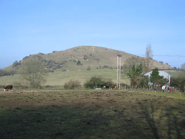
White Barrow is a Neolithic long barrow on Salisbury Plain, a few miles from Stonehenge, and was the National Trust's first purely archaeological purchase. Named for the chalk it is built from, it was first described by the archaeologist William Cunnington and has never been excavated, though finds from a badger sett suggest it was raised between 5,000 and 5,500 years ago. Its remains tell archaeologists about Neolithic beliefs, economy and environment; Bronze or Iron Age earthworks can be seen on the site, two other long barrows are visible from it, and the grassland supports rare bees found at only a handful of British sites. Reviewers describe a large earthwork with little else to see, which you walk over rather than into, and warn of nettles, 4x4s and army traffic on the plain. The barrow is reached on foot along a rutted byway from the A360 opposite West Down Camp, about a kilometre south of Tilshead, with a stile and tussocky grass at the end.
Check today’s timesSee all times
- CountrysideDawn to dusk
Opening times may change at short notice.
The National Trust calendar shows the countryside open dawn to dusk every day.
No facilities, toilets or refreshments. The approach is a rutted trackway with a stile, tussocky grass and uneven ground; an AccessAble guide is linked from the Trust page. The barrow lies beside the Salisbury Plain military training area, and reviewers mention 4x4 and army traffic.
The barrow is unexcavated; visitors walk over the mound rather than into a chamber.
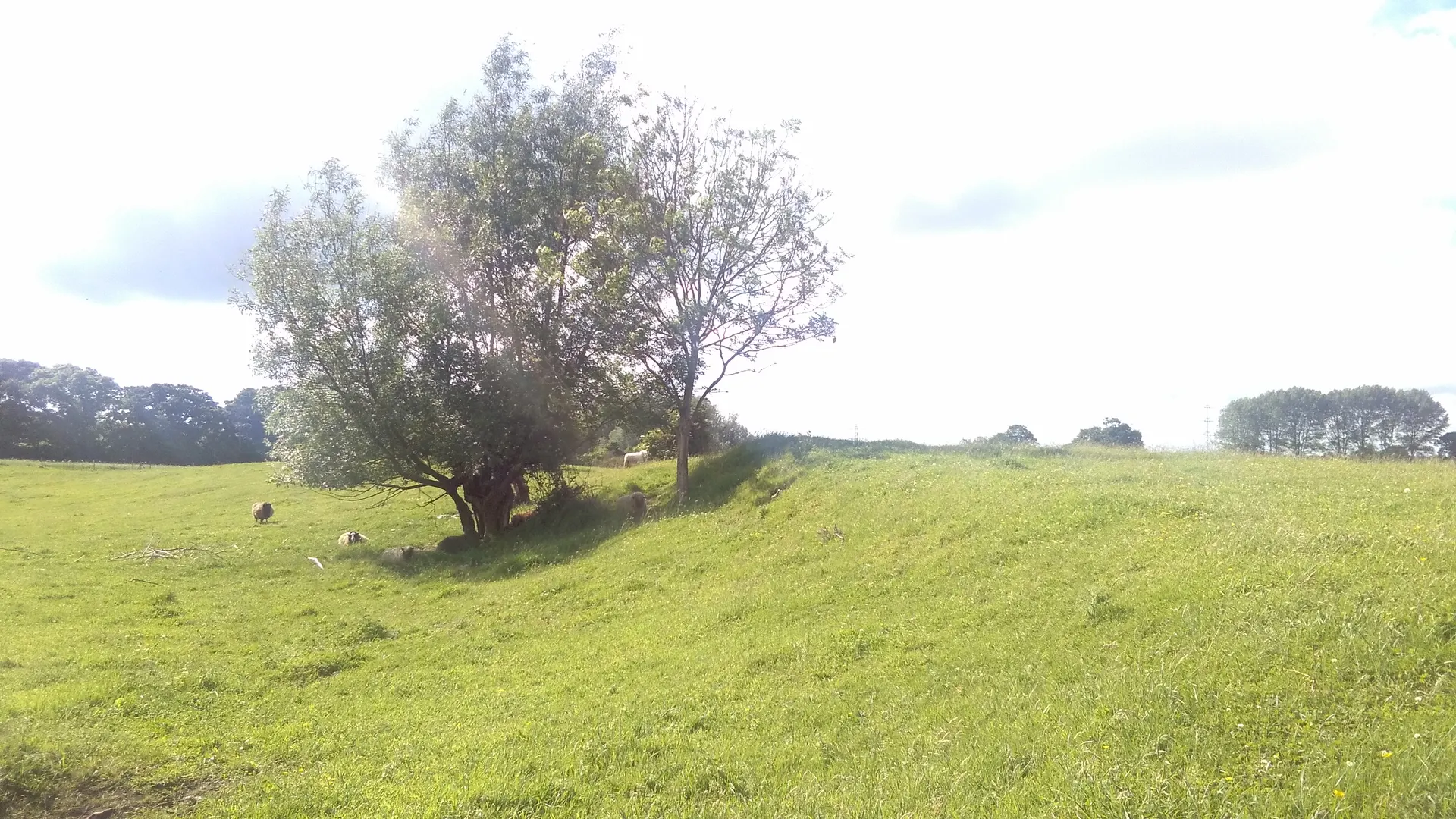
Photo: White Barrow long barrow, Tilshead, Wiltshire. User:Ranger Steve, public domain (released by the author). Source: https://commons.wikimedia.org/wiki/File:Whitebarrow.jpg. Resized and cropped for display.
Reviews & Tips
No reviews yet
No reviews yet. Be the first to share your experience!
Pins
No pin photos yet