About
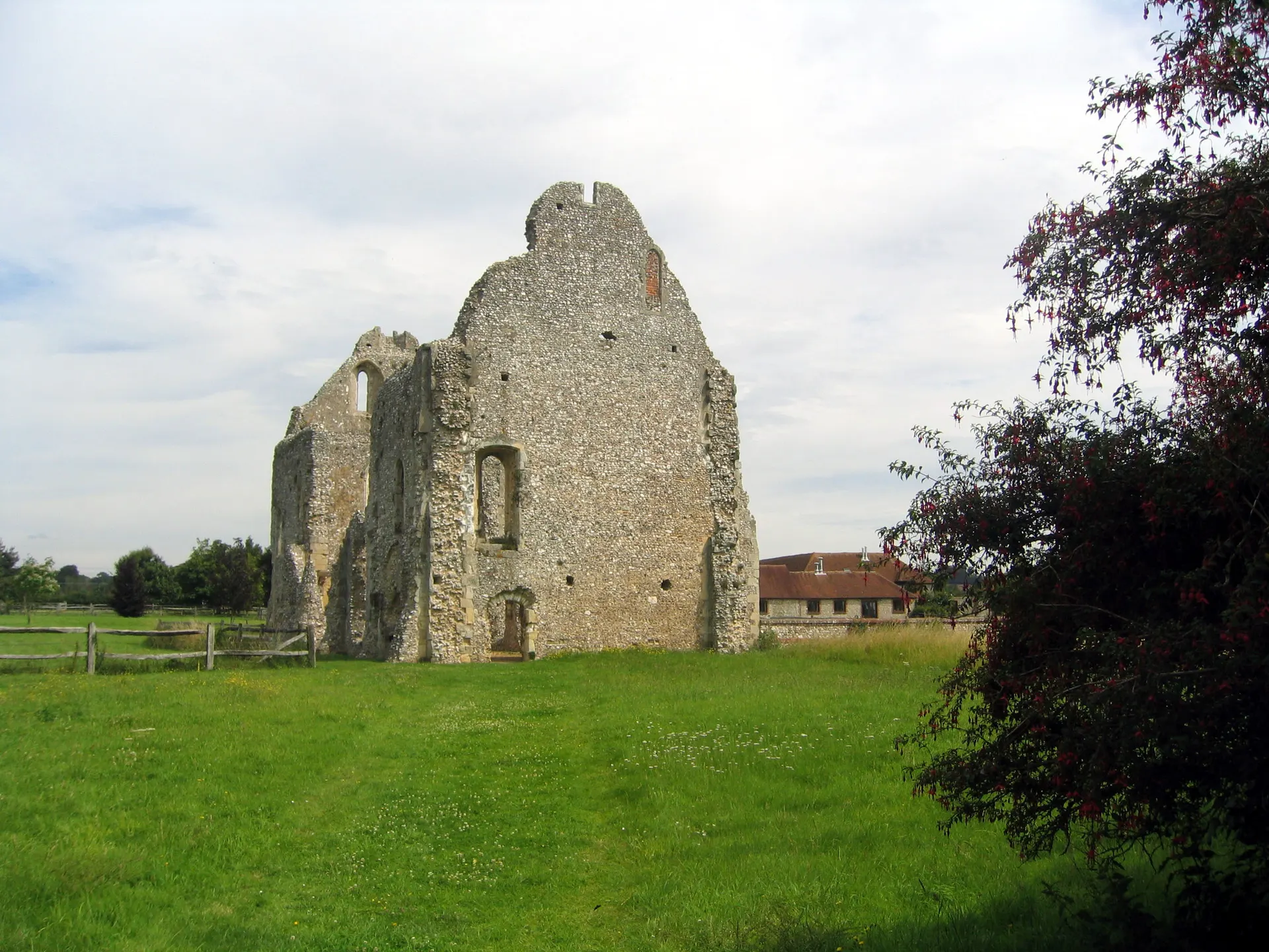
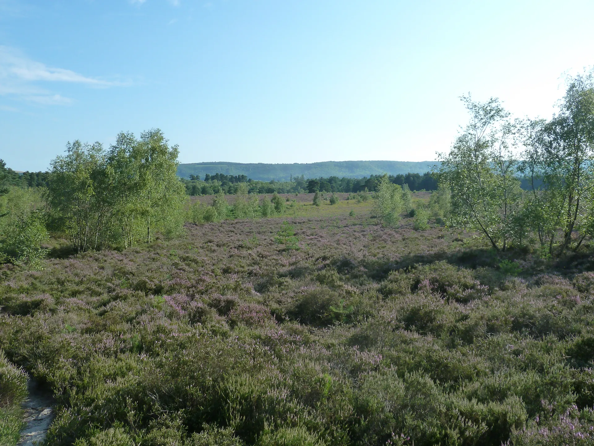
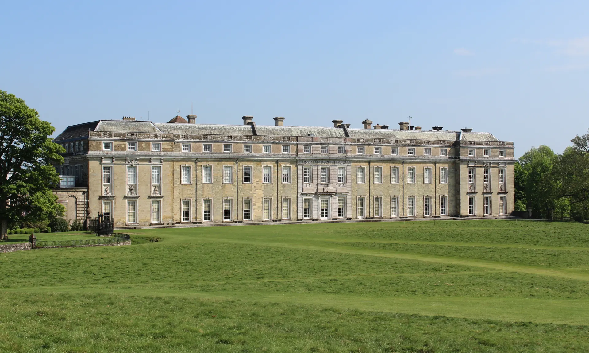
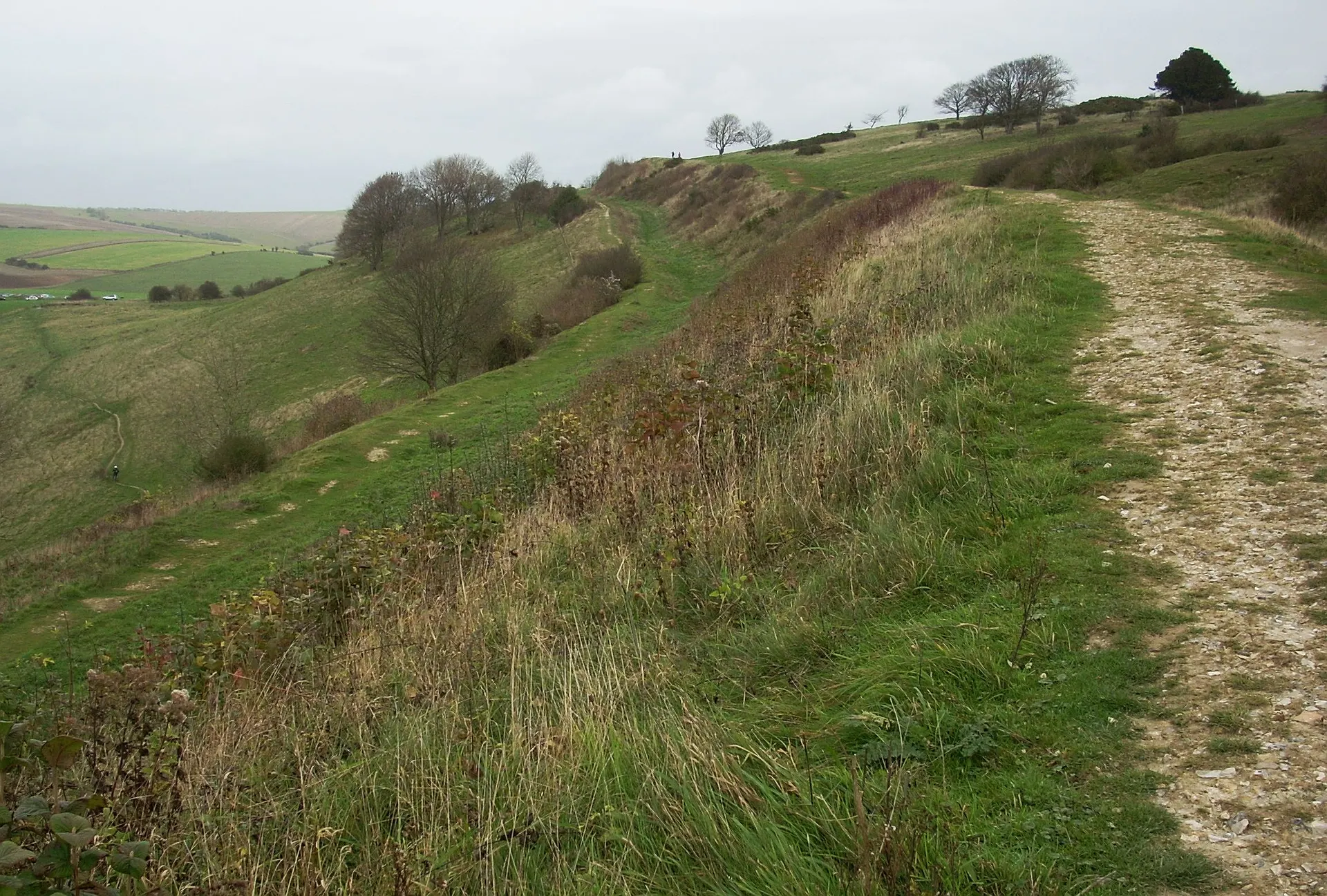
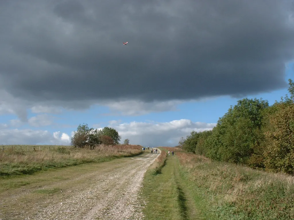
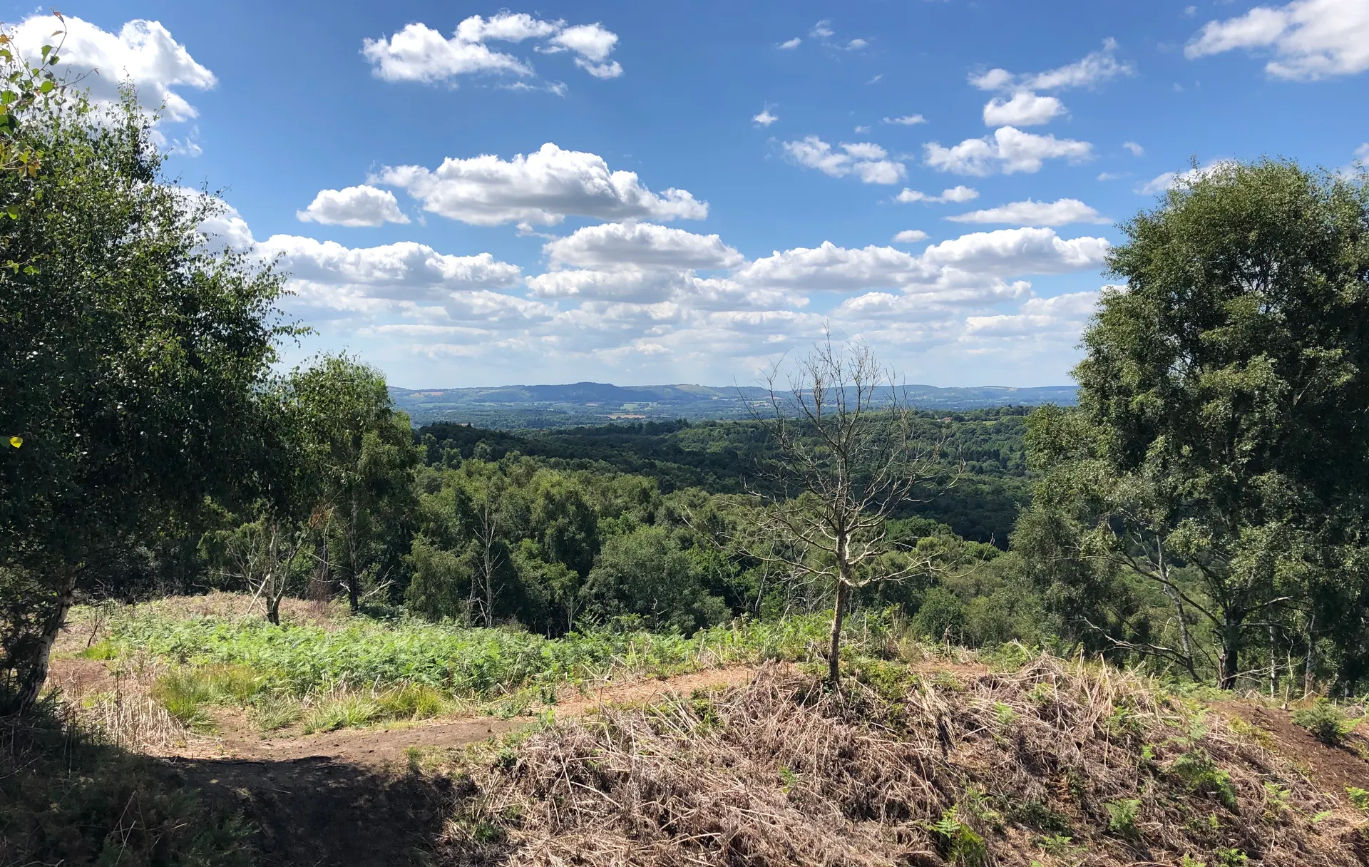
Slindon Estate covers 3,500 acres of woodland, downland, farmland and parkland around an unspoilt Sussex village, left to the National Trust in 1948 by Frederick Wootton Isaacson, the village squire who had rebuilt Slindon House. At the northern end, Bignor Hill carries Bronze Age burial mounds and a surviving stretch of Stane Street, the Roman road from London to Chichester, while the flint Folly on Nore Hill was built in 1814 for Anne, Countess of Newburgh, who drove out to take tea there. Slindon Park keeps the bank and ditches of a deer park pale dating from 1108, the woods are known for spring flowers and autumn colour, and at Northwood fields under the plough since the First World War are returning to woodland. Children can hunt for ten geocaches hidden across the estate. Reviewers praise the choice of paths and rate it highly for dog walks. Dogs on leads are welcome, kept under close control around grazing livestock.
Check today’s timesSee all times
- CountrysideDawn to dusk
Opening times may change at short notice.
NT's calendar lists the countryside as open dawn to dusk.
No toilets on the estate. The village and Slindon Park Woods are relatively well surfaced and suitable for pushchairs and wheelchairs; other routes have stiles and roots.
Much of the land is grazed by livestock. The NT page currently asks for no barbecues or open fires because of the fire risk.
PricingFreeFree for all visitors
Free entry for everyone
Entry
Free for everyone
Pricing details
The estate's rights of way are free to walk for everyone.
ParkingFree parkingFree for all visitors
No charge for anyone.
Parking details
Three free National Trust car parks: Park Lane (SU960077, satnav 47 Park Lane, BN18 0QY, by Bluebells Wood), Duke's Road (SU950073, BN18 0SP) and Bignor Hill (SU973129, satnav for Bignor Roman Villa RH20 1PH, then 1.2 miles up a narrow lane). Park Lane and Duke's Road have height barriers.
Driving pin: NT's own Slindon coordinate, which is the Park Lane car park (NT satnav easting 496062, northing 107704 converts to within about 5 m) and about 40 m from Google's 'Bluebells Wood, 47 Park Ln' listing.
Reviews & Tips
No reviews yet
No reviews yet. Be the first to share your experience!
Pins
No pin photos yet
Walking routes5 routes
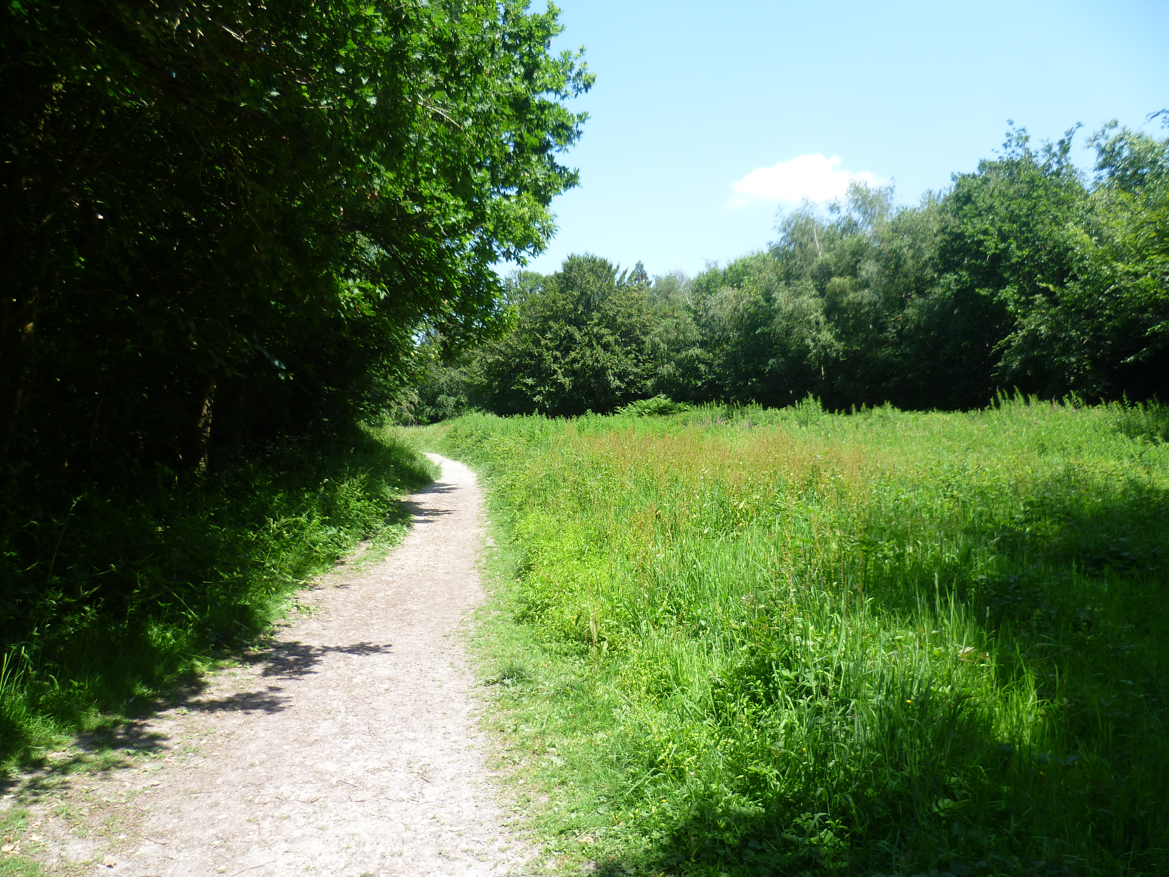
Slindon medieval park pale and village walk(opens the full route on the National Trust site)
WalkeasyDogs, with restrictions2.9 km distance1hr to walk