About
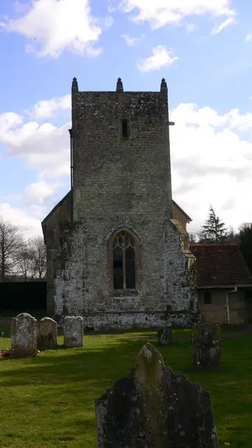
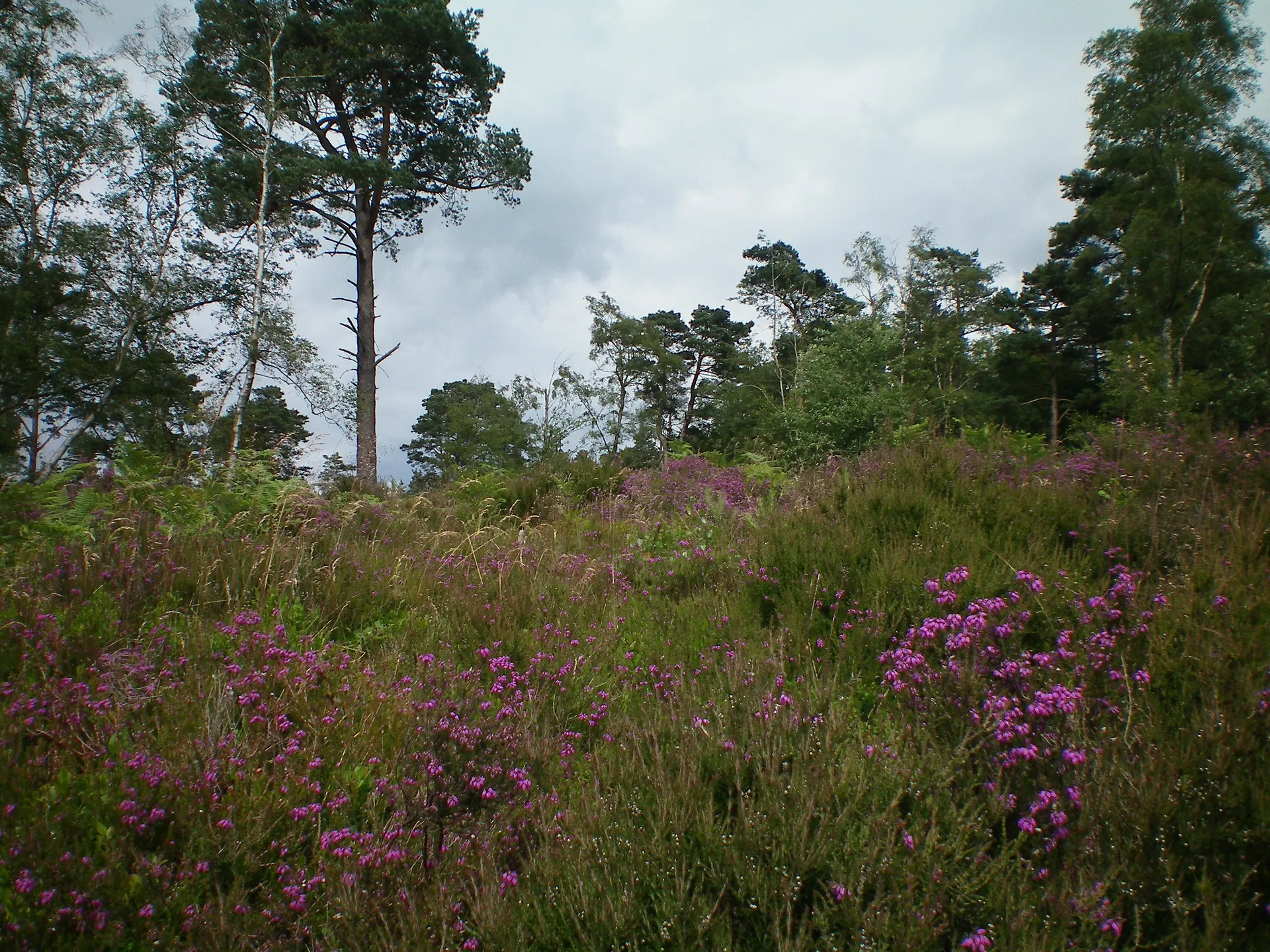
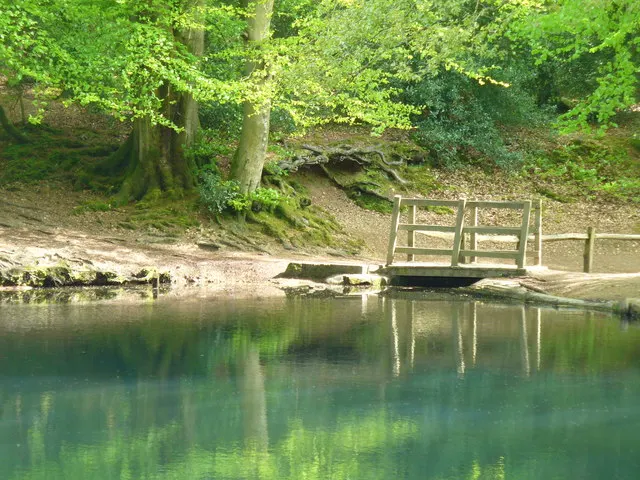
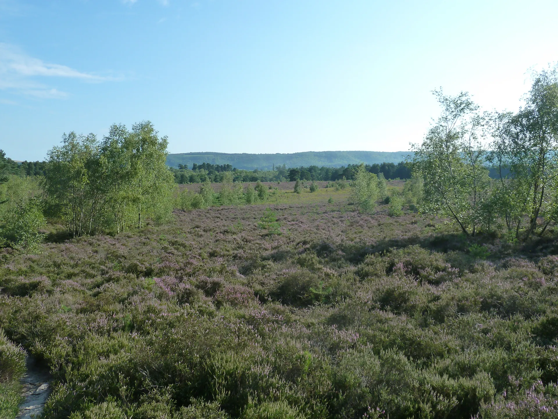
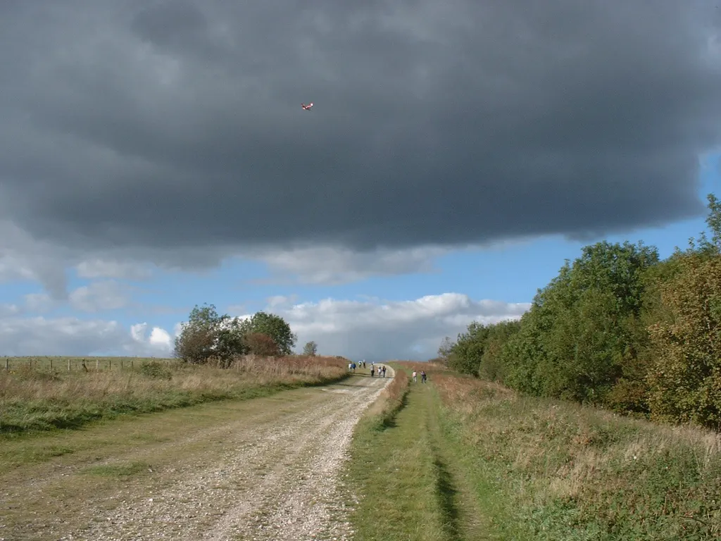
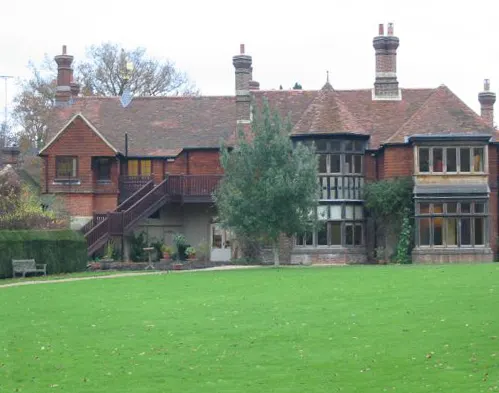
Woolbeding Countryside is a large Trust estate in the quiet Rother Valley, its edge a mile west of Midhurst, reached from its own small free car parks and quite separate from the booked visits to Woolbeding Gardens. The estate is a medieval strip parish, divided by earth banks faced with stone that mark common from farmland. To the north, Woolbeding Common is open greensand heath of heather and gorse where rare woodlark and nightjar breed, reptiles bask and long-horned beetles live. To the south, parkland runs down to the snaking River Rother, with steep-sided woods and pasture shaded by old oaks. Belted Galloway cattle graze the heath and share the parkland with Sussex cattle and Herdwick sheep. Reviewers single out the long views and how few people they meet. Tips from visitors: some tracks are steep and paths get muddy after rain, so wear good shoes, and there are no toilets. Dogs on leads are welcome. A signed three-mile walk follows the Rother from Midhurst's high street through the parkland.
Check today’s timesSee all times
- CountrysideDawn – Dusk
Opening times may change at short notice.
Countryside open dawn to dusk every day in NT's calendar to the end of December 2026.
No toilets. Paths can become muddy and hard to navigate in wet weather and may not suit pushchairs or wheelchairs; some steep gradients.
Separate from Woolbeding Gardens, which has its own booked visits and minibus from Midhurst.
PricingFreeFree for all visitors
Free entry for everyone
Entry
Free for everyone
Pricing details
Free for everyone to visit the common, parkland and riverside.
ParkingFree parkingFree for all visitors
No charge for anyone.
Parking details
Several small free National Trust car parks; no overnight stays or camping. Older Hill for Woolbeding Common, up the narrow single-track Older Hill Lane off Linch Road (about 12 cars; GU29 0QB, ///stores.flickers.asked, SU869260). Linch Road, a quarter of a mile further on (about 8 cars; GU29 0QD, ///ownership.radar.printers, SU864253). Scotland Lane, a dirt track off the A286 north of Easebourne (about 8 cars; GU29 0BJ, ///linguists.remarking.wasp, SU873258). Rother Walk / Woolbeding Parkland, first field on the right after the Half Moon pub on the A272 (about 8 cars; GU29 9RL, ///pizzas.reassured.before, SU874218).
Driving pin: Older Hill car park, the largest of the four and the one on the NT postal address (Older Hill Lane), from the OSM 'Older Hill Car Park' polygon (51.0270578, -0.7613332). It agrees with NT's grid ref SU869260 (about 25 m) and with NT's own coordinate and the 'National Trust - Woolbeding Countryside' Google listing (both within 10 m). For the Rother parkland use the Rother Walk car park, GU29 9RL, instead.
Reviews & Tips
No reviews yet
No reviews yet. Be the first to share your experience!
Pins
No pin photos yet
Walking routes1 route
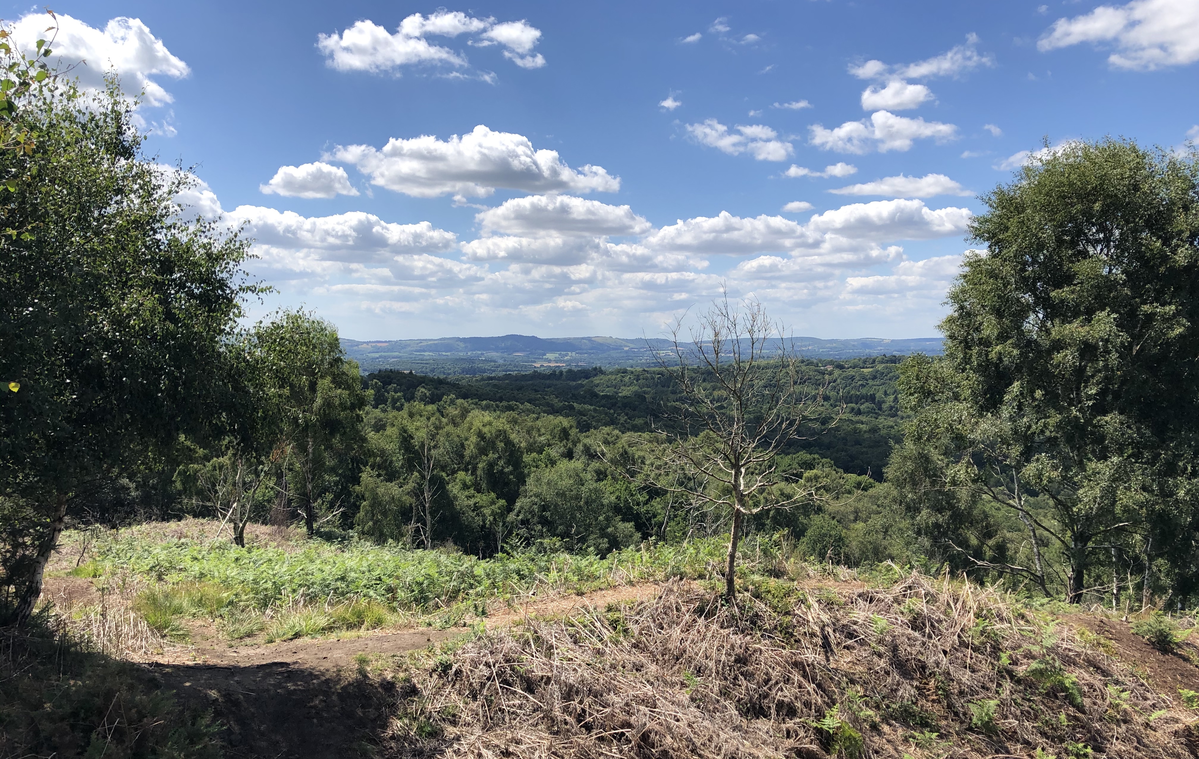
Woolbeding, River Rother and Midhurst walk(opens the full route on the National Trust site)
WalkeasyDogs, with restrictions4.8 km distance1hr30