HomeExplorePlacesPassportSign in
National Trust

Salcombe Countryside

Coast·Devon

See prices
Non-member
—
Members
Daylight
See times
Website
Directions
PricingEntry prices and admission details
ParkingFree for members

Non-members pay to park.

5 car parks · JustPark codes

Enter the code for your car park in JustPark to pay, or at the machine. Members park free after checking in.

Open JustParkjustpark.comPay by phone07520 634455
CoastWalking routesOne pawprint

About

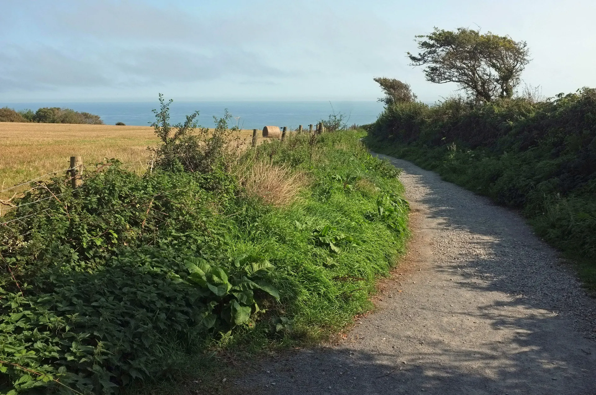
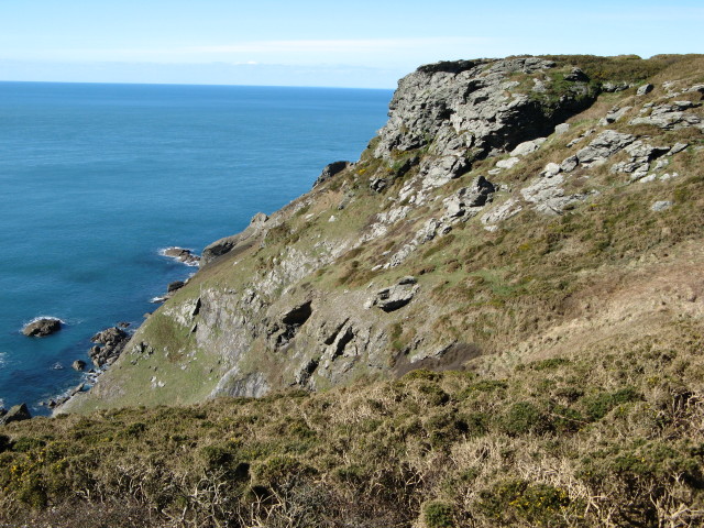
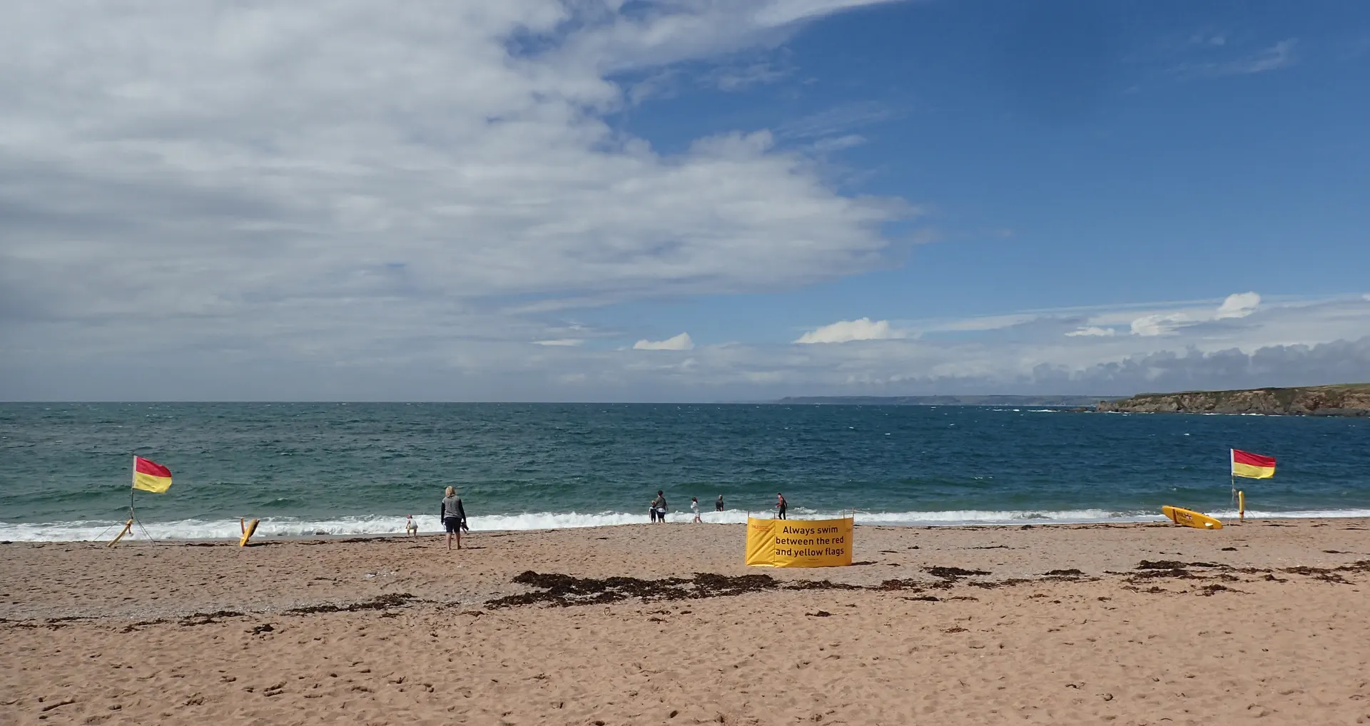
Salcombe Countryside takes in the cliffs, coves and farmland around the Kingsbridge Estuary, from Bolt Tail and Bolberry Down round Bolt Head to Mill Bay and on towards Prawle, Devon's most southerly point. Iron Age earthworks stand on Bolt Head and Bolt Tail, a grain clipper that ran aground off Soar Mill Cove in 1936 lies wrecked in Starehole Bay, and the East Soar paths follow the runway of the wartime airfield RAF Bolt Head. There are sandy beaches at Mill Bay, Sunny Cove and Seacombe Sands, and cirl buntings and silver-studded blue butterflies on the flowery cliffs. Six waymarked Trust walks of 1 to 4.5 miles start from its car parks, among them East Soar to Bolt Head, the Mill Bay walk to the old Gara Rock lookout and a level clifftop circuit at Bolberry Down suited to most mobility vehicles. Dogs are welcome under close control around cattle and on leads around sheep and on the beaches. The Trust's car parks use the JustPark app for payment and member check-in; the tenant-run Walkers Hut at East Soar Farm takes cash only.
Open in daylightPick a day for times and prices

October 2026

MoTuWeThFrSaSu

Today, Monday 26 October

  • Salcombe CountrysideDawn – Dusk

Reviews & Tips

No reviews yet

No reviews yet. Be the first to share your experience!

Passport stamp

Stamp available · Ask the team where to collect it

Pins

No pin photos yet

Walking routes6 routes
Bolberry Down and Soar Mill Cove walk(opens the full route on the National Trust site)
7.2 km distance·2hr–3hr to walkeasy

Dog friendly

Starts at Bolberry Down car park (grid ref SX688385); 4.5 miles (7.2km) full trail, 2 to 3 hours, easy; coastal path through fields and along cliff edges, with an access-for-all section suitable for wheelchairs at Bolberry Down.

East Soar to Bolt Head Walk(opens the full route on the National Trust site)
7.2 km distance·2hr–3hr to walkeasy

Dogs, with restrictions

Starts at East Soar National Trust car park (grid ref SX713375); 4.5 miles (7.2km), 2 to 3 hours, easy; uneven paths, one steep climb, muddy in winter.

Amble on the Down coastal walk(opens the full route on the National Trust site)
1.6 km distance·30m–40m to walkeasy

Dogs, with restrictions

Starts at Bolberry Down National Trust car park (grid ref SX689384); 1 mile (1.6km), 30 to 40 minutes, easy; tarmac, gravel and grass paths, mostly flat with a kissing gate.

East Soar to Overbeck's Garden walk(opens the full route on the National Trust site)
1.9 km distance·30m–40m to walkmoderate

Dogs, with restrictions

Starts at East Soar National Trust car park (grid ref SX713375); 1.2 miles (1.92km), 30 to 40 minutes, moderate; flat gravelled track and fields, then an uneven, steep woodland path near Overbeck's.

Walk to Snapes Point(opens the full route on the National Trust site)
1.6 km distance·30m–40m to walkeasy

Dogs, with restrictions

Starts at Snapes Point National Trust car park (grid ref SX738403); 1 mile (1.6km), 30 to 40 minutes, easy; generally gentle with some steps, not suitable for wheelchairs.

Mill Bay walk(opens the full route on the National Trust site)
5.6 km distance·1hr30–2hr to walkmoderate

Dogs, with restrictions

Starts at Mill Bay car park (grid ref SX743381); 3.5 miles (5.6km), 1.5 to 2 hours, moderate; moderate hills and cliff paths, unsuitable for wheelchairs and buggies.

Nearby

South Milton Sands

1.9 mi

Overbeck's

2.6 mi

The Old Mill

12.3 mi

Dartmouth and Kingswear Countryside

13.2 mi

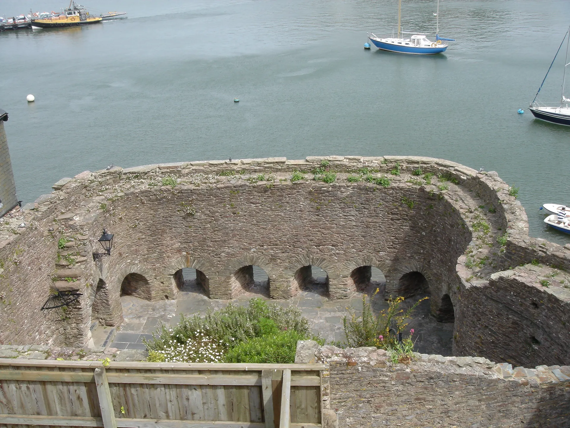
Bayard's Cove Fort

14.3 mi

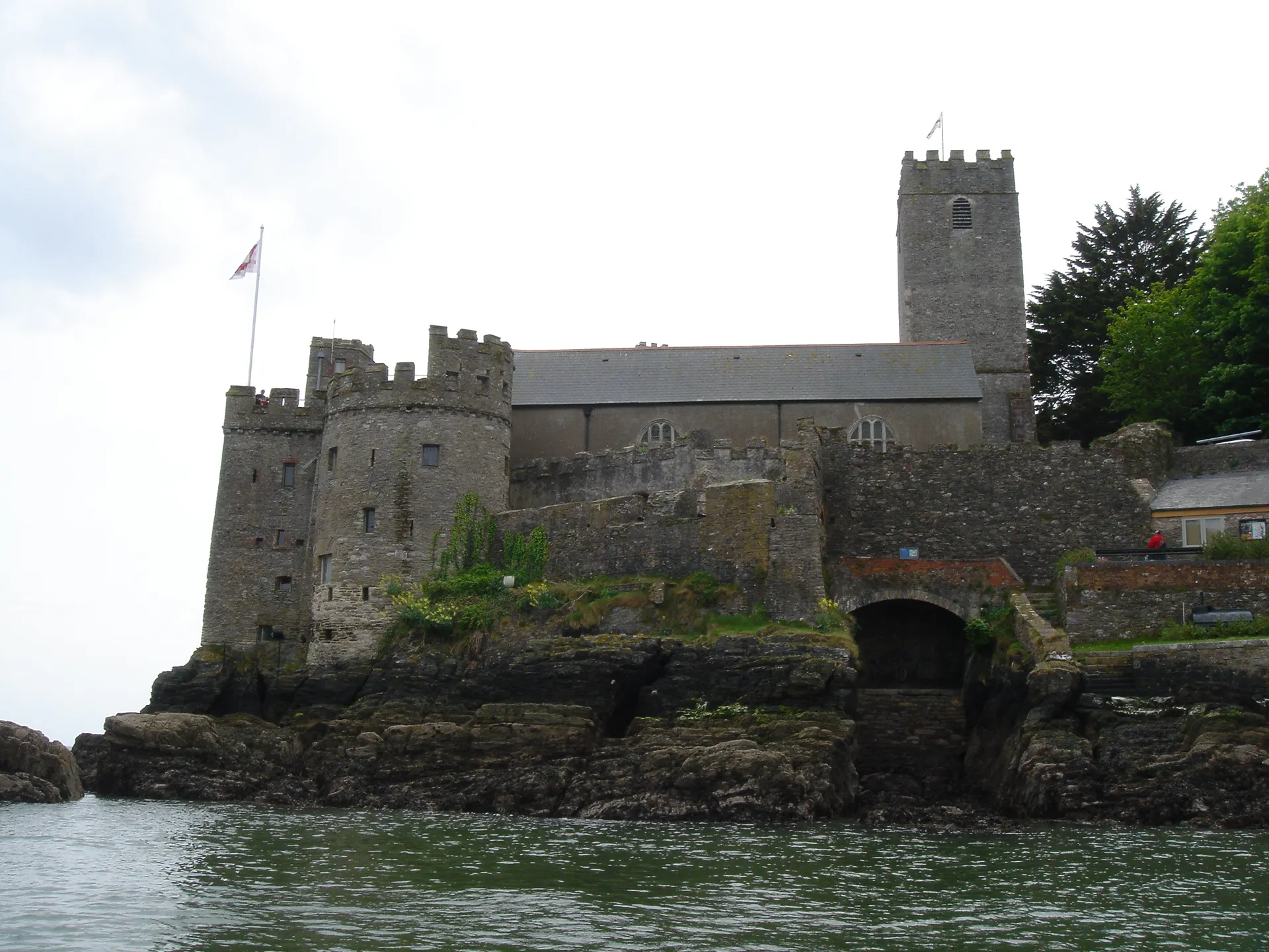
Dartmouth Castle

14.3 mi

Saltram

14.9 mi